
Introduction: LiDAR vs Radar – What’s the Difference?
LiDAR vs Radar highlights two crucial sensing technologies with distinct strengths. LiDAR offers high-resolution mapping and precision, while Radar excels in long-range detection and weather resilience. Choosing the right technology depends on your application’s needs and conditions.
What Is LiDAR?
LiDAR is an active remote sensing technology that measures distances by illuminating targets with laser light and analyzing the reflected pulses. The key principles behind LiDAR systems include:
- Time-of-Flight (ToF) ranging: LiDAR calculates the distance to a target by measuring the time it takes for a laser pulse to travel to the target and back. This is achieved by precisely timing the transmission and reception of laser pulses.
- Laser Scanning: LiDAR systems employ scanning mechanisms (e.g., rotating mirrors, phased arrays) to direct the laser beam across a field of view, enabling the creation of 3D point clouds representing the surrounding environment.
- Wavelength Selection: LiDAR systems typically operate in the near-infrared range (e.g., 1064 nm) due to eye safety and atmospheric transmission considerations.
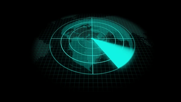
What Is Radar?
Radar (Radio Detection and Ranging) is a similar technology that uses radio waves instead of light to detect and locate objects. Key principles of radar include:
- Electromagnetic Wave Propagation: Radar systems transmit and receive electromagnetic waves in the radio frequency (RF) or microwave range, which can penetrate through various atmospheric conditions.
- Doppler Effect: Radar can measure the relative velocity of moving targets by detecting the frequency shift (Doppler shift) of the reflected signal.
- Beam Steering: Radar systems employ phased array antennas or mechanical scanning mechanisms to steer the transmitted and received beams in different directions.

Key Differences Between LiDAR and Radar
Operating Wavelength
LiDAR (Light Detection and Ranging) operates in the ultraviolet, visible, or near-infrared spectrum, using much shorter wavelengths compared to radar, which operates in the microwave region of the electromagnetic spectrum. This fundamental difference leads to several key advantages and limitations for LiDAR.
Resolution and Precision
Due to the shorter wavelengths, LiDAR can achieve higher resolution and precision in mapping and detecting objects, as the resolution is generally limited by the wavelength used. LiDAR can map physical features with very high resolution, making it suitable for applications like autonomous vehicles, where precise detection of obstacles and surroundings is crucial.
Target Interaction
Radar is better suited for detecting metallic objects, as they produce significant reflections at microwave frequencies. However, non-metallic objects like rain, rocks, and aerosols may produce weaker or no detectable reflections at radar frequencies, making them effectively invisible. LiDAR is highly sensitive to aerosols, cloud particles, and non-metallic objects due to its shorter wavelengths, making it advantageous for atmospheric research and meteorology.
Environmental Conditions
While radar can operate in most weather conditions, LiDAR performance can be affected by adverse weather conditions like rain, snow, fog, and dust storms. These atmospheric particles can absorb and scatter the laser beam, reducing the detection range and introducing false positive points.
Advantages of LiDAR
- High Accuracy and Resolution: LiDAR provides highly accurate measurements with fine range resolution, enabling precise detection of obstacles and their distances. It can capture detailed 3D point cloud data, facilitating applications like 3D modeling and mapping.
- All-Weather Operation: Unlike cameras that rely on visible light, LiDAR uses laser pulses in the near-infrared spectrum, allowing it to operate effectively in various weather conditions, such as rain, fog, or dust.
- Non-Interference and Anti-Stealth Capabilities: LiDAR operates beyond the electronic interference spectrum and microwave stealth frequency, providing anti-electronic interference and anti-stealth capabilities.
- Penetration Ability: LiDAR pulses can penetrate through vegetation canopies, enabling the detection of ground topography in forested areas.
- Heterodyne Interferometry: The excellent monochromaticity and coherence of laser beams make LiDAR a highly sensitive heterodyne interferometer, capable of detecting minute vibrations and movements.
Advantages of Radar
- Long-Range Operation: Radar systems can operate over longer ranges compared to optical imaging techniques, including LiDAR.
- All-Weather Capability: Radar operates better in a wider range of weather conditions, such as rain or fog, compared to optical imaging techniques.
- Velocity Detection: Radar can measure the radial velocity of moving objects by detecting the Doppler shift in the reflected signal.
- Penetration Ability: Radar signals can penetrate through certain materials, such as clouds, dust, and vegetation, enabling detection of obscured targets.
- Global and Continuous Coverage: Radar systems can provide global and continuous coverage, complementing the limitations of LiDAR in temporal consistency and regional coverage.
Applications of LiDAR and Radar
Autonomous Driving and Robotics
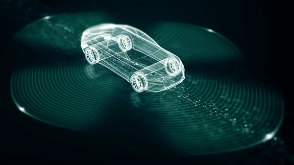
LiDAR and radar are crucial sensors for autonomous vehicles and robots, enabling real-time 3D mapping and object detection. LiDAR provides high-resolution point clouds for accurate distance and velocity measurements, while radar excels in all-weather conditions and long-range sensing. Their fusion allows robust perception of the environment for safe navigation.
Remote Sensing and Mapping
LiDAR is widely used in aerial and satellite remote sensing for topographic mapping, forestry surveys, and environmental monitoring. Airborne LiDAR can penetrate vegetation to generate high-precision digital elevation models and 3D surface models. Radar systems like SAR (Synthetic Aperture Radar) are invaluable for large-scale mapping, especially in cloudy or nighttime conditions.
Atmospheric and Meteorological Studies
Both LiDAR and radar are employed in atmospheric studies, such as cloud and aerosol profiling, wind field mapping, and greenhouse gas monitoring. LiDAR systems like CALIOP on the CALIPSO satellite use multiple wavelengths to study cloud and aerosol properties.
Security and Surveillance
LiDAR and radar are increasingly used in security applications, including perimeter monitoring, intrusion detection, and object tracking. Their ability to operate in low-light conditions and penetrate obscurants makes them valuable for surveillance and reconnaissance missions.
Industrial and Construction Applications
LiDAR and radar find applications in industrial automation, such as robotic guidance, quality control, and inventory management. In construction, LiDAR is used for site surveying, progress monitoring, and as-built documentation.
Emerging Applications
LiDAR and radar are enabling new applications like autonomous drones, augmented reality, and smart city infrastructure. LiDAR is also being explored for biometric identification, gesture recognition, and virtual reality.
Conclusion: LiDAR vs Radar – Choosing the Right Technology
In the debate of LiDAR vs Radar, LiDAR is the go-to choice for precision and 3D mapping, while Radar shines in long-range detection and all-weather reliability. For best results, many applications combine both technologies to create a robust sensing system. Evaluate your specific needs to make an informed choice.
FAQs
- Which is better for autonomous vehicles: LiDAR or Radar?
Both are essential; LiDAR provides precision mapping, while Radar ensures reliable detection in adverse conditions. - Can LiDAR and Radar work together?
Yes, combining LiDAR and Radar enhances safety and accuracy by leveraging their strengths. - Why is Radar preferred in adverse weather conditions?
Radar’s radio waves are unaffected by rain, fog, or dust, making it more reliable in challenging environments. - How does LiDAR achieve such high resolution?
LiDAR uses laser beams and precise timing to create detailed 3D maps with millimeter accuracy. - Are LiDAR systems becoming more affordable?
Yes, advancements in technology and mass production are reducing the cost of LiDAR systems.
To get detailed scientific explanations of lidar vs radar, try Patsnap Eureka.