
Computing system and method for identifying similar maps of a port of interest
a port and similarity technology, applied in the field of analysis of maps of various ports, can solve the problems of pilots who cannot properly interpret and fully appreciate, and the airport map may not be as readily understood as desired, so as to facilitate navigation about the port, facilitate navigation, and be readily understood
Patent Information
- Authority / Receiving Office
- US · United States
- Patent Type
- Applications(United States)
- Current Assignee / Owner
- Publication Date
- 2019-03-14
Smart Images
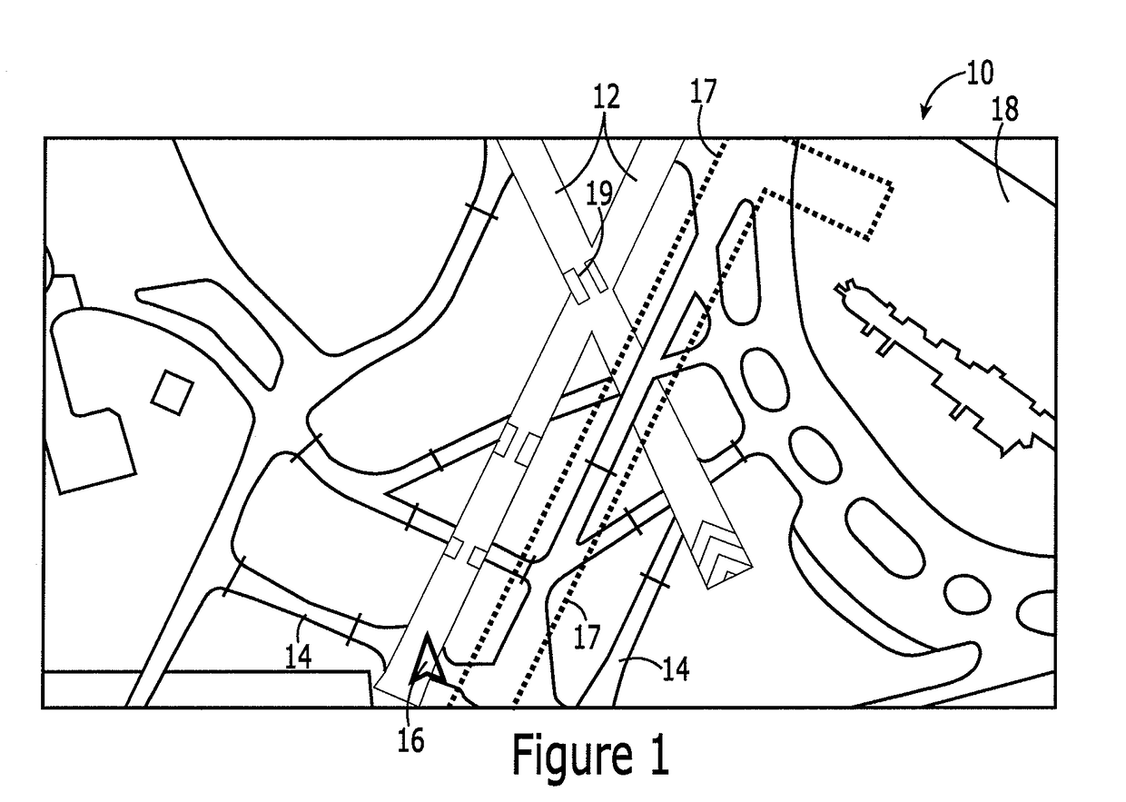
Figure 1 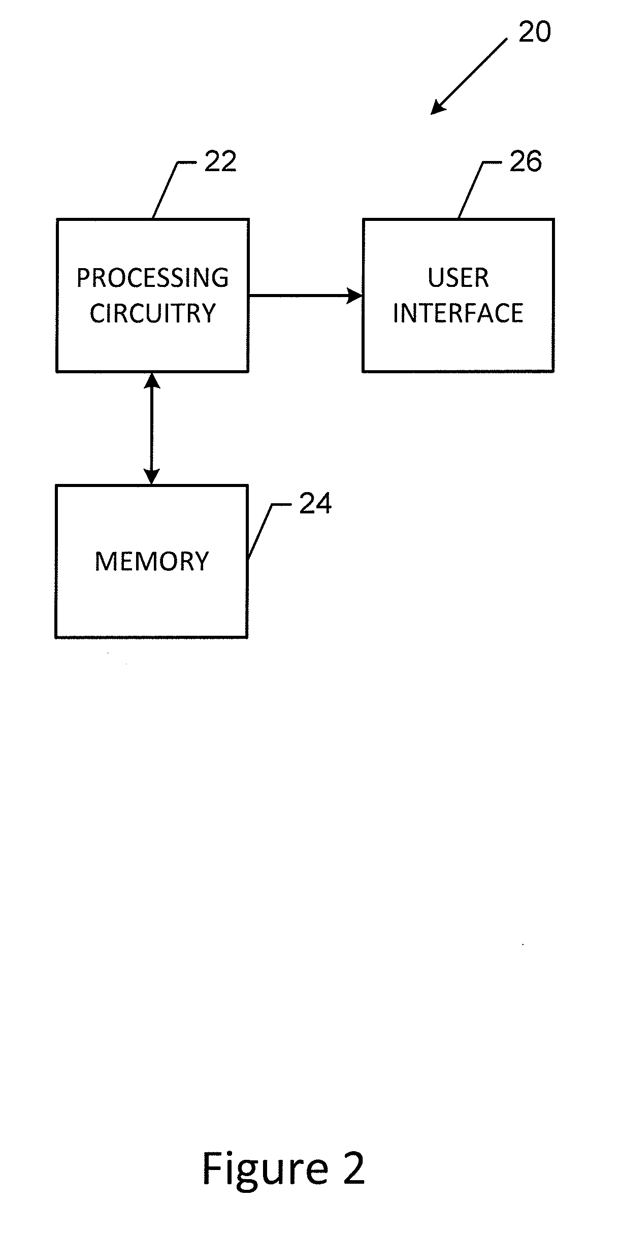
Figure 2 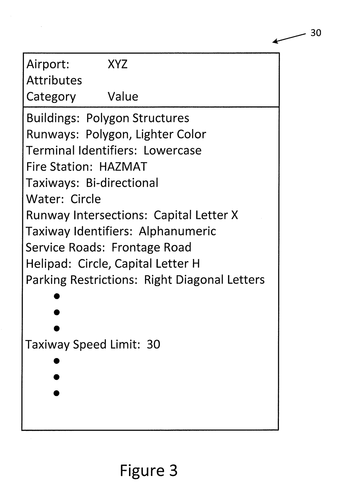
Figure 3
Abstract
Description
TECHNICAL FIELD
[0001] An example embodiment relates generally to the analysis of maps of various ports and, more particularly, to the identification of one or more maps that are similar to a map of a port of interest.BACKGROUND
[0002] Maps are frequently used for various purposes including for navigation in and around a port, such as an airport, a harbor or the like. With respect to an airport, for example, a pilot may reference a map of the airport in order to determine the configuration of the runways and taxiways and to identify the route to be taken to taxi about the airport, such as between a terminal gate and a respective runway. In order to facilitate review by a pilot prior to and / or during a flight, the map of an airport may be presented upon the flight deck display of the instrument panel of an aircraft. In addition to the graphical depiction of the airport, an airport map may also include one or more rules that govern navigation in or about the airport. For example, the rule...
Examples
Embodiment Construction
[0023]Some embodiments of the present disclosure will now be described more fully hereinafter with reference to the accompanying drawings, in which some, but not all, embodiments are shown. Indeed, various embodiments may be embodied in many different forms and should not be construed as limited to the embodiments set forth herein; rather, these embodiments are provided so that this disclosure will satisfy applicable legal requirements. Like reference numerals refer to like elements throughout. As used herein, the terms “data,”“content,”“information,” and similar terms may be used interchangeably to refer to data capable of being transmitted, received and / or stored in accordance with embodiments of the present disclosure. Thus, use of any such terms should not be taken to limit the spirit and scope of embodiments of the present disclosure.
[0024]A computing system, method and computer program product are provided in order to identify one or more maps of other ports that are similar t...