

A data update method, device and system
A data update and data packet technology, applied in the Internet field, can solve the problem of slow update speed of geospatial data, and achieve the effect of ensuring accuracy and current situation, and reducing costs.
Patent Information
- Authority / Receiving Office
- CN · China
- Patent Type
- Patents(China)
- Current Assignee / Owner
- Publication Date
- 2021-05-07
Smart Images
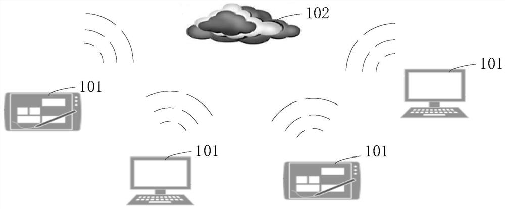
Figure 1 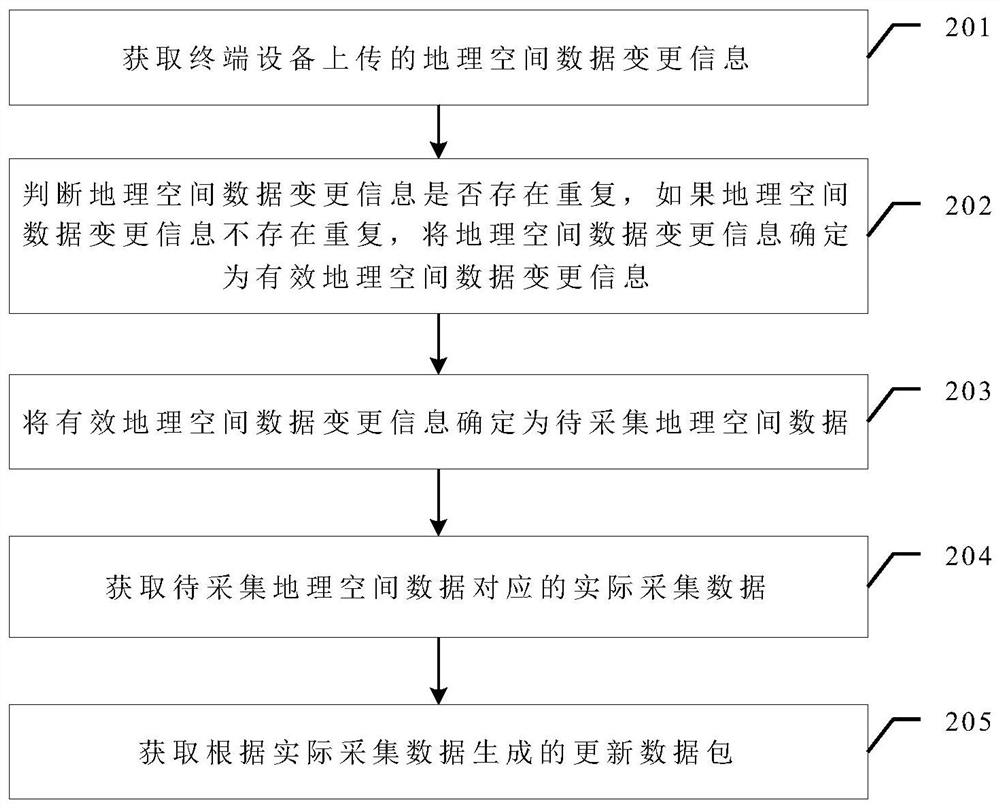
Figure 2 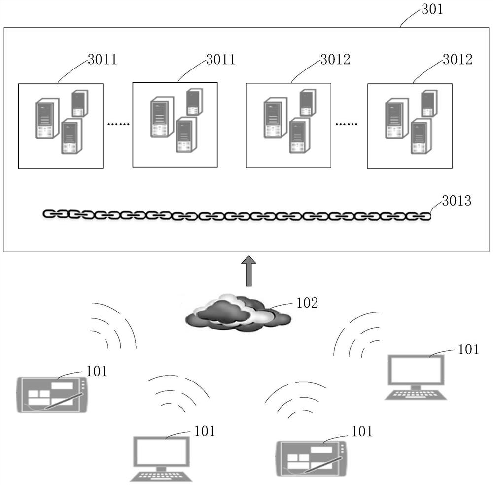
Figure 3
Abstract
Description
technical field
[0001] The present application relates to the field of Internet technologies, and in particular to a data updating method, device and system. Background technique
[0002] In recent years, due to the popularity of car navigation applications and the rapid development of the navigation system industry, higher requirements have been put forward for the fineness, accuracy, and current status of geospatial data. The production and update of traditional geospatial data is generally done by external operators in the actual environment by plotting the location of points of interest on the drawings, recording the attribute information of points of interest, and then returning to the room to process and sort out the geospatial data with reference to the drawings, and finally enter it into the interest In the point database, the operation mode has a long production cycle, wastes manpower and material resources, and is prone to errors. The traditional mode has been diff...
Examples
Embodiment Construction
[0058]In order to enable those skilled in the art to better understand the technical solutions in the present invention, the technical solutions in the embodiments of the present invention will be clearly and completely described below in conjunction with the drawings in the embodiments of the present invention. Obviously, the described The embodiments are only some of the embodiments of the present invention, not all of them. Based on the embodiments of the present invention, all other embodiments obtained by persons of ordinary skill in the art without creative efforts shall fall within the protection scope of the present invention.
[0059] In the existing technology, the traditional way of producing and updating geospatial data has a long cycle and consumes a lot of manpower and material resources, which is not suitable for the current fast-growing navigation system industry's requirements for the fineness, accuracy, and current status of geospatial data. . At present, ge...