
Riverway water surface three-dimensional visualization method considering water surface gradient
A water surface gradient and river channel technology, applied in image data processing, 3D modeling, instruments, etc., can solve the problems of difficult to apply 3D visualization of water level process, and do not consider the problems of high upstream water level and low downstream water level of natural river channels, and achieve convenience and efficiency And the effect is independently selected, the display effect is real, and the applicability is strong.
Patent Information
- Authority / Receiving Office
- CN · China
- Patent Type
- Applications(China)
- Current Assignee / Owner
- Publication Date
- 2019-07-30
Smart Images
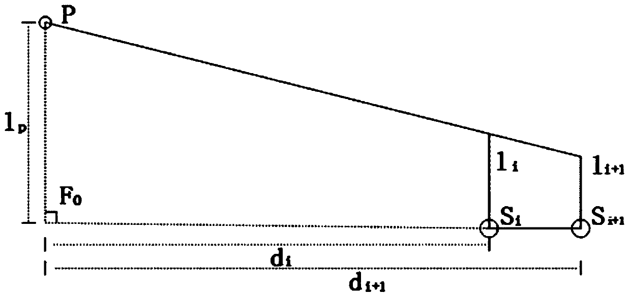
Figure 1 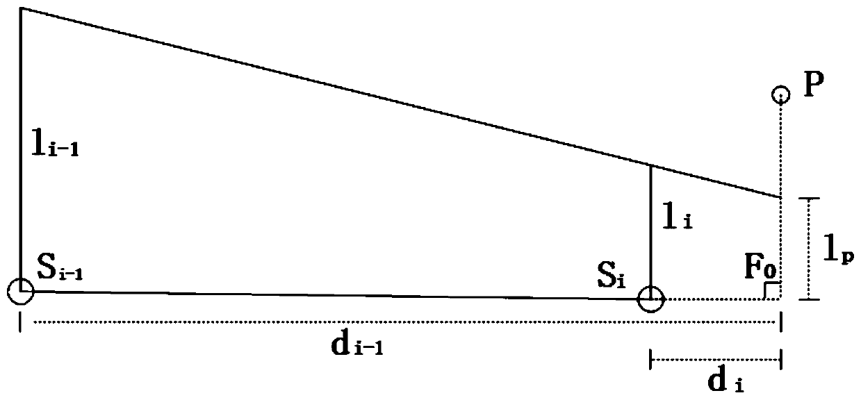
Figure 2 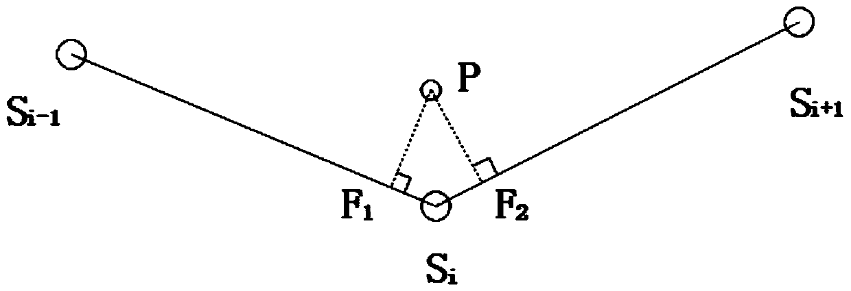
Figure 3
Abstract
Description
technical field
[0001] The invention relates to the technical field of three-dimensional simulation and visualization, more specifically, it is a method for three-dimensional visualization of river water surface in consideration of water surface gradient. Background technique
[0002] The existing methods for 3D visualization of water surface are mainly divided into two categories: the first category is textured water, which mainly simulates the visual effects of reflection, refraction, and wave light on the water surface through technologies such as dynamic texture, concave-convex texture, and projection texture. This method is more efficient. High, but unable to reflect the undulations of the water body. Such as papers "Realization of Real-time Water Effects in Large-Scale Virtual Scenes", "Real-time Water Surface Environment Simulation Based on Cg and OpenGL", etc. The second category is vertex water, which mainly uses mathematical methods such as wave spectrum simulatio...
Examples
Embodiment
[0081] Taking the 3D visualization method of the river channel water surface considering the water surface gradient applied to a reservoir according to the present invention as an example to describe in detail, it also has a guiding role for the 3D visualization method of the river channel water surface considering the water surface gradient applied to other water areas of the present invention.
[0082] In this embodiment, the water surface boundary line of a certain reservoir and the measured water level data of a hydrological survey station are used as existing data. Select the water surface boundary line from Badong No. 2 Station to Sandouping Dam site of a certain reservoir, and select the water levels of twelve measuring stations at 8:00 on August 4, 2012 as input, from downstream to upstream respectively Sandouping Dam Site 158.68m, Taiping Creek 158.69m, Liulin Creek 158.69m, Jiuwan Creek 158.71m, Xintan 158.72m, Xiangxi 158.73m, Zigui Station 158.74m, Shazhen Creek 158...