
Mapping method and device, electronic equipment and readable storage medium
A technique of mapping and paving, which is applied in the field of information processing, can solve the problems of not considering the pattern of the model, failing to experience the user's visual experience, and the display effect not conforming to the real world, so as to achieve the effect of real display effect and good visual experience
Patent Information
- Authority / Receiving Office
- CN · China
- Patent Type
- Applications(China)
- Current Assignee / Owner
- Publication Date
- 2022-04-15
Smart Images
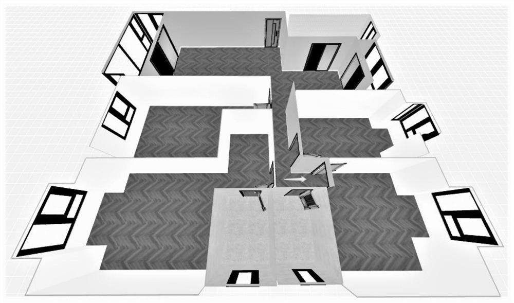
Figure 1 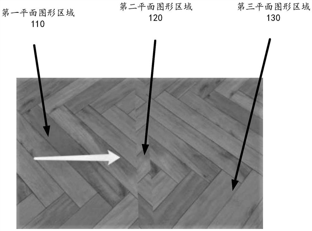
Figure 2 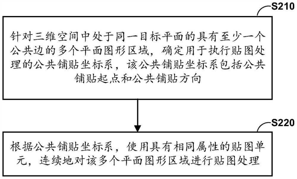
Figure 3
Abstract
Description
technical field
[0001] The present disclosure relates to the field of information processing, and more specifically, to a mapping method, device, electronic equipment, and readable storage medium. Background technique
[0002] With the continuous development of technology, three-dimensional (3D) space can be digitally presented in many applications, so that users can easily and quickly understand the three-dimensional space they are interested in without leaving home. For example, users expect to pass Browse the digitized three-dimensional space of houses on the Internet to learn about house information and so on.
[0003] In the prior art, digitally presenting the three-dimensional space includes presenting the three-dimensional space with a three-dimensional model. In the scheme of presenting a three-dimensional space in the form of a three-dimensional model, it is necessary to map the surface of the model. Among them, when mapping multiple planar graphics areas with com...
Examples
no. 1 example
[0075] According to the first embodiment of the present disclosure, determining the public tiling starting point of the public tiling coordinate system may include: determining an arbitrary point in the world coordinate system of the three-dimensional space as a reference point; determining the normal vector of the target plane, wherein the target plane The normal vector of is perpendicular to the target plane; and based on the reference point and the normal vector of the target plane, a common starting point for paving is determined.
[0076] In an example, the world coordinate system of the three-dimensional space may be determined according to the structure of the three-dimensional space, for example, the center of the three-dimensional space may be used as the origin of the world coordinate system, and based on the origin, the vertical upward direction in the three-dimensional space may be used as the world coordinate The positive direction of the z-axis of the system. As ...