

High-resolution remote sensing building extraction method combining semantic segmentation and edge detection
A semantic segmentation and high-resolution technology, applied in the field of high-resolution remote sensing building extraction, can solve the problems of non-closed, edge discontinuity, etc., and achieve the effect of improving accuracy, good restoration results, and wide applicability
Patent Information
- Authority / Receiving Office
- CN · China
- Patent Type
- Applications(China)
- Current Assignee / Owner
- Publication Date
- 2021-11-23
Smart Images
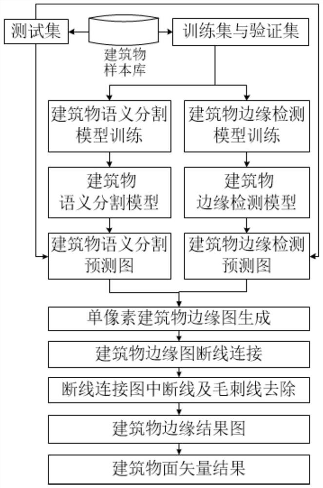
Figure 1 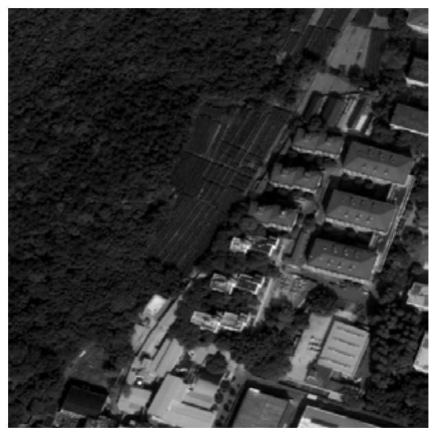
Figure 2 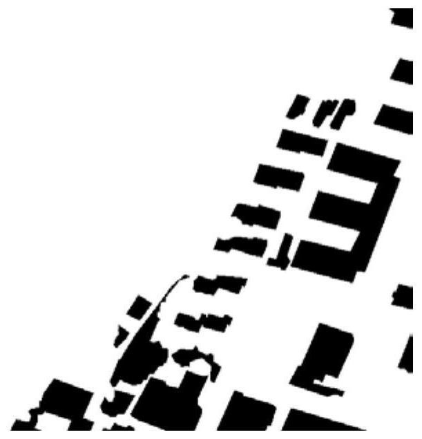
Figure 3
Abstract
Description
technical field
[0001] The invention belongs to the technical field of remote sensing image target extraction, and in particular relates to a high-resolution remote sensing building extraction method. Background technique
[0002] Building extraction based on remote sensing images provides important data support for urban and rural planning, dynamic monitoring, disaster assessment, land use analysis, map update, etc. With the continuous development of remote sensing technology, the spatial resolution of remote sensing images that people can obtain is getting higher and higher. Buildings present richer spatial and geometric features on high-spatial-resolution remote sensing images (hereinafter referred to as high-resolution remote sensing images), and the details inside the roof of buildings are also clearly visible, which brings opportunities for building extraction tasks with challenges.
[0003] Traditional building extraction methods usually require manual construction ...
Examples
Embodiment Construction
[0061] Below through embodiment, further illustrate the present invention in conjunction with accompanying drawing.
[0062] The technical solution of the present invention is a high-resolution remote sensing building extraction method combining semantic segmentation and edge detection, comprising the following steps:
[0063] Step 1. Build a building sample library: According to the geographical location of the research area, obtain high-resolution remote sensing images covering the entire research area; use artificial visual interpretation to mark the roofs of buildings on the high-resolution remote sensing images in the research area, Get building face labels and line labels. Crop the high-resolution remote sensing image and the corresponding label map in the research area, and the size is h×w. In the embodiment of the present invention, non-overlapping cropping is adopted, and the size of the cropped image and label is 512×512, thereby constructing the building Sample lib...