
Block model constructing method for complex geological structures
a geological structure and model technology, applied in geomodelling, computation using non-denominational number representations, instruments, etc., can solve the problems of inability to accurately and vividly describe, and the accuracy of fitting hardly meets practical requirements, so as to avoid using equation sets and solve high difficulty and computation load. , the effect of high difficulty
Patent Information
- Authority / Receiving Office
- US · United States
- Current Assignee / Owner
- Publication Date
- 2012-06-28
- Estimated Expiration
- Not applicable · inactive patent
Smart Images
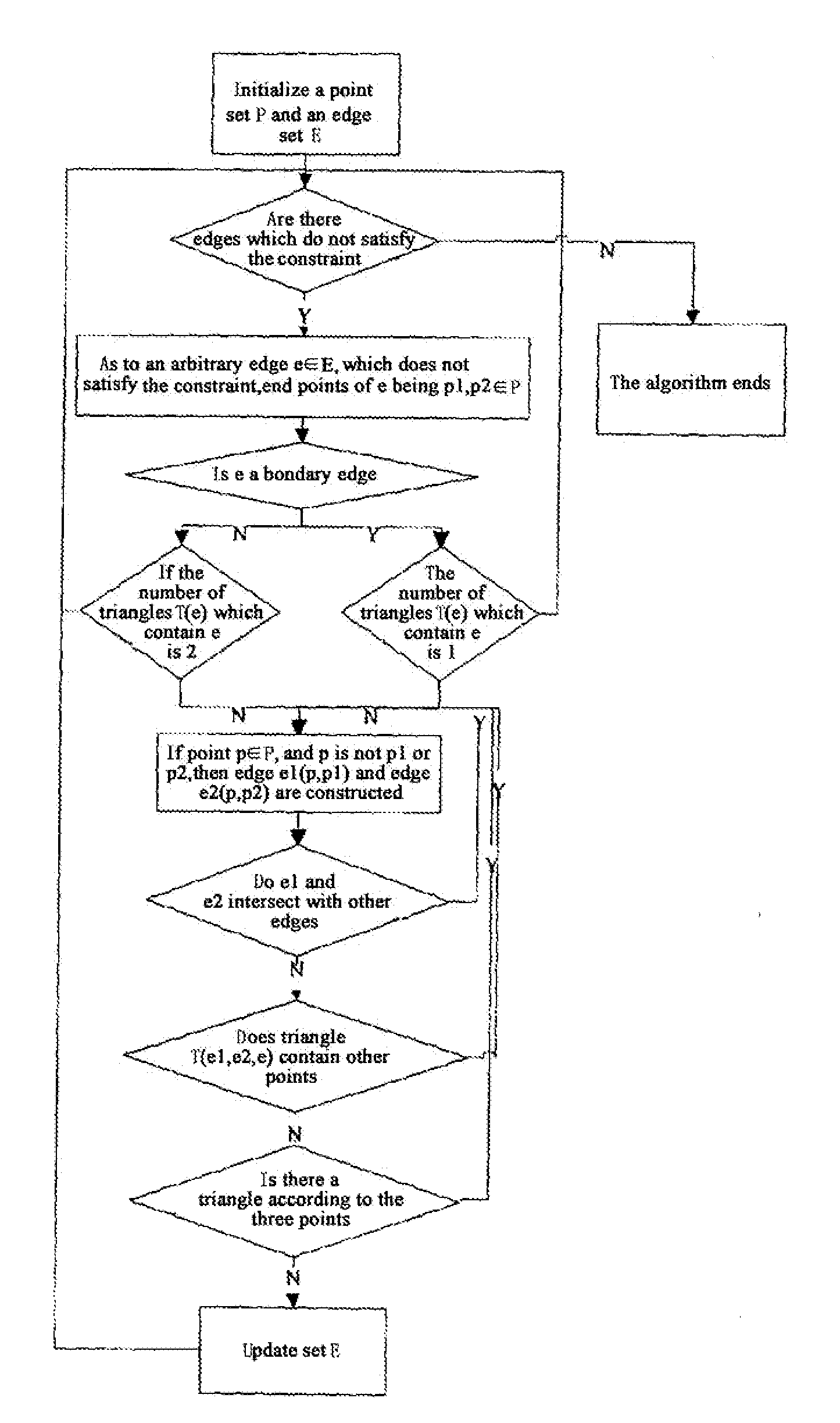
Figure 1 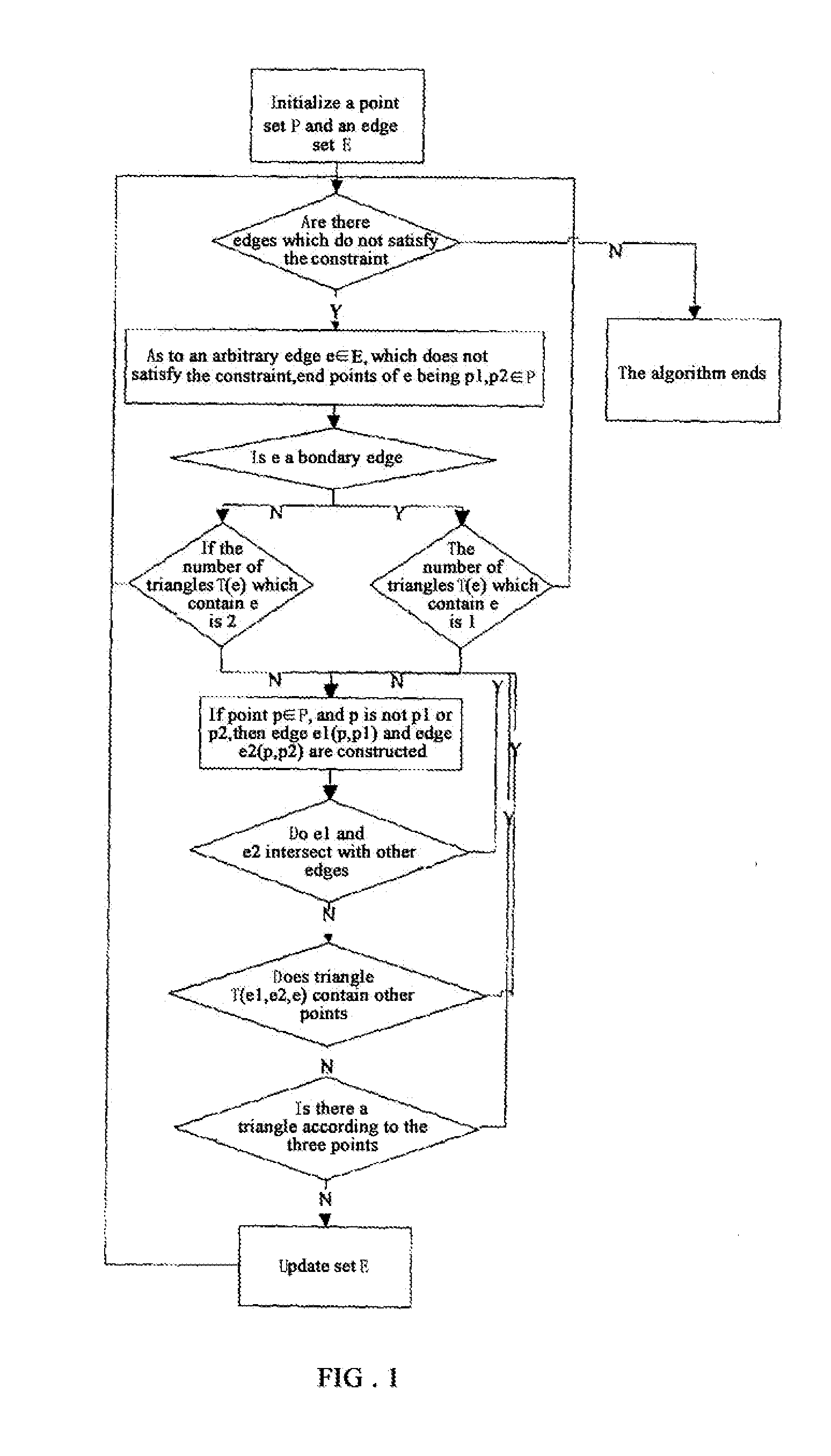
Figure 2 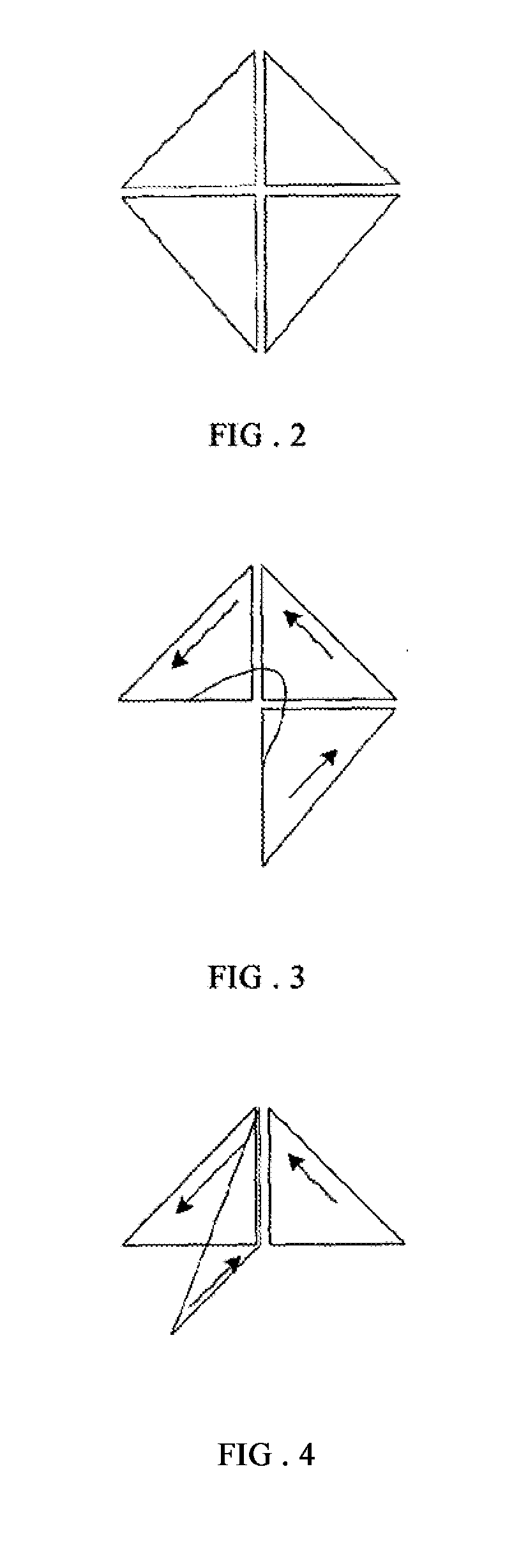
Figure 3
Abstract
Description
TECHNICAL FIELD
[0001] The invention relates to the technical field of geologically three-dimensional modeling method, specifically to a block model constructing method for complex geological structures.BACKGROUND OF THE INVENTION
[0002] As objects of three-dimensional seismic exploration become increasingly complicated, and acquisition, processing and interpretation methods gradually become mature, the role of computer in the three-dimensional seismic exploration is more and more important. People urgently need a simple method to input the complex three-dimensional geological model constructed by a geologist into computer, so that the computer can recognize and identify the complex three-dimensional geological model constructed by the geologist, also can provide model input for various forward modeling methods.
[0003] Traditional layering geological model cannot accurately and vividly describe a complex three-dimensional geological model, and it is a three-dimensional cutting problem to ...
Examples
Embodiment Construction
[0051]1. Data Preparation
[0052]For data structure of a block model for complex geological structures, concepts of point, triangle, surface, subsurface and block can be cited for description, with meanings as follows.
[0053]Point P(x, y, z): refers to a control point of the shape of a horizon surface or a fault surface, or an intersection point between a horizon surface or a fault surface and model boundary, wherein x and y are plane coordinates, and z is vertical coordinate. Point is basic data for describing shapes of horizon surfaces and fault surfaces. In practice, interpolation can be performed on the basic control points as required, so as to form a new control point, which is more advantageous for describing horizon surfaces and fault surfaces.
[0054]Triangle T(x, y, z): a triangle formed by connecting three adjacent points on a horizon surface or a fault surface, it can not step across the horizon surface or fault surface. The basic principles which should be followed by triang...