
Method for matching geographic information with recorded images
a technology of geographic information and recorded images, applied in the field of automatic method of matching geographic information with recorded images, can solve the problems of labor-intensive process and easy errors, and achieve the effects of low cost, convenient location, and simple operation
Patent Information
- Authority / Receiving Office
- US · United States
- Patent Type
- Patents(United States)
- Current Assignee / Owner
- Publication Date
- 2005-06-07
- Estimated Expiration
- Not applicable · inactive patent
Smart Images
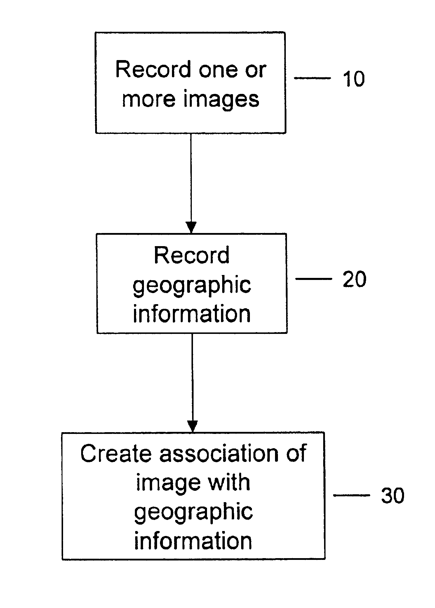
Figure 1 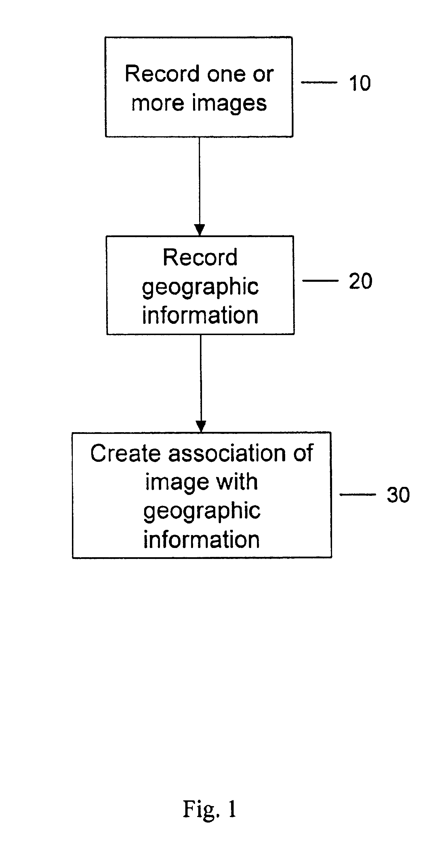
Figure 2 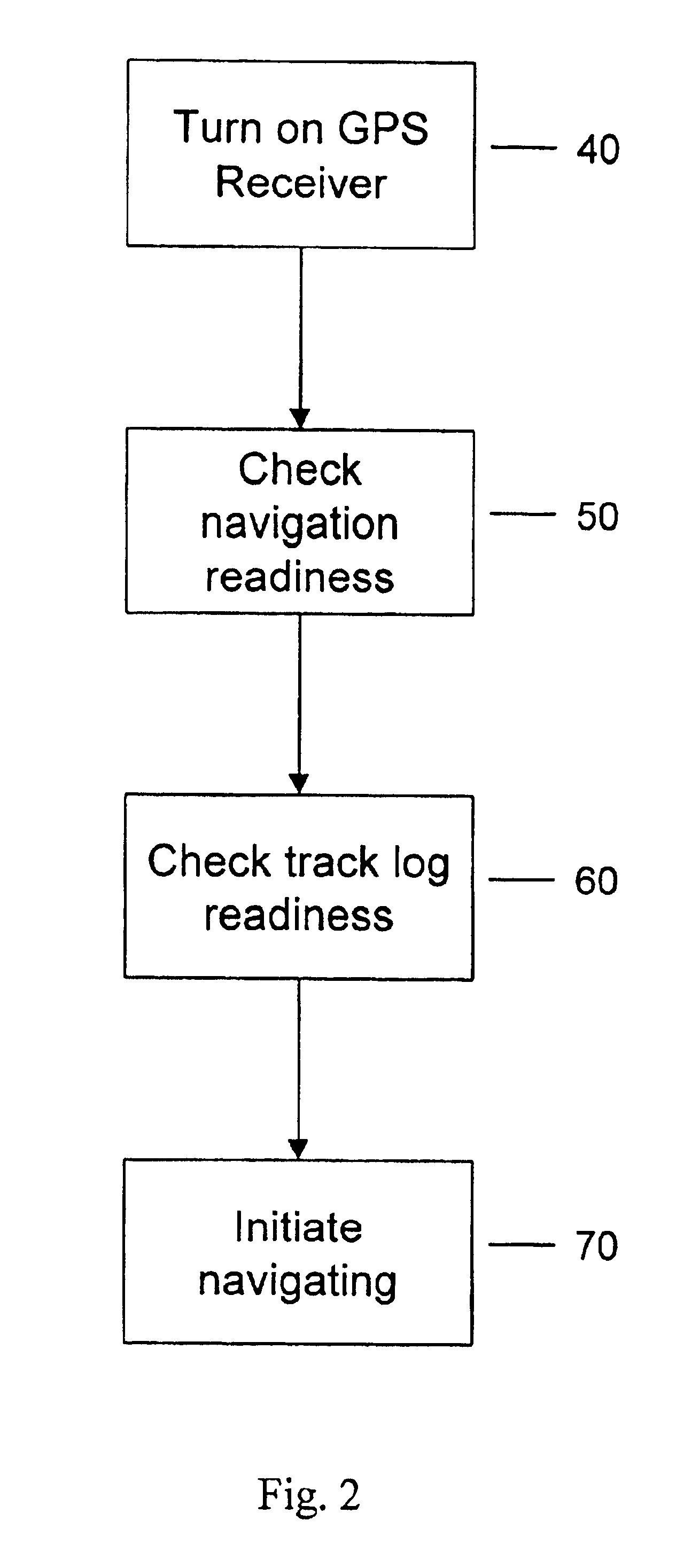
Figure 3
Abstract
Description
RELATED APPLICATION
[0001] This application claims the benefits of U.S. Provisional Application Ser. No. 60 / 241,666, entitled “Method for Matching Geographic Information with Recorded Images”, filed Oct. 18, 2000, which is hereby incorporated by reference.FIELD OF INVENTION
[0002] The present invention relates to an automated method for matching geographic information with recorded images, and more particularly, to a method for digitally cross-referencing information of the geographic location where and when an image is recorded, with the digital representation of the recorded image.BACKGROUND OF INVENTION
[0003] A data collection device, such as a digital camera, is capable of recording images onto a digital storage medium. Typically, a user of a digital camera will record multiple images on the storage medium. The recorded images may be viewed by using the digital camera's viewfinder, or may be viewed using a computer, such as a personal computer. If a computer is used to view the image...
Examples
Embodiment Construction
[0025]FIG. 1 is a flow chart of the overall decision logic for automatically matching images with its geographic information, in accordance with a preferred embodiment of the present invention.
[0026]FIG. 2 is a flow chart describing in more detail an exemplary step of recording geographic information, as shown in FIG. 1.
[0027]FIG. 3 is an illustration of a time display screen of the receiver.
[0028]FIG. 4 is a flow chart describing in more detail an exemplary step of creating an association of an image with its geographic information, as shown in FIG. 1.
[0029]FIG. 5 shows an exemplary screen shot of the GPS display screen.
DETAILED DESCRIPTION OF EMBODIMENTS
[0030]The present invention relates to a method for automatically matching recorded images with geographic information corresponding to the geographic location that the image was recorded. Referring now to the figures, wherein like reference numerals indicate like elements / steps, in FIG. 1, there is a shown a flow chart of the deci...