
A method for automatic identification of potential landslides based on optical remote sensing considering insar deformation factor
An optical remote sensing, potential technology, applied in the direction of material analysis by optical means, scientific instruments, re-radiation of electromagnetic waves, etc., can solve the problems of strong subjectivity and low degree of automation
Patent Information
- Authority / Receiving Office
- CN · China
- Patent Type
- Patents(China)
- Current Assignee / Owner
- Publication Date
- 2020-08-14
Smart Images
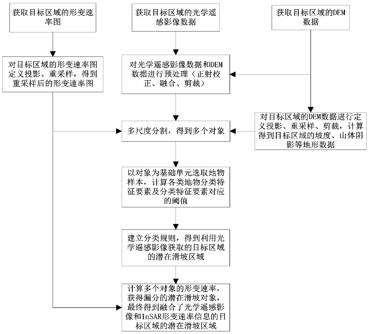
Figure 1 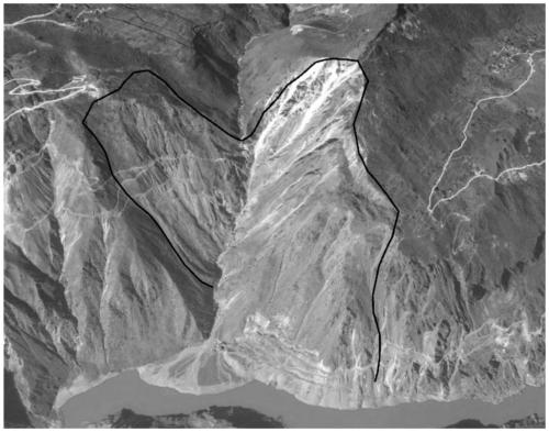
Figure 2 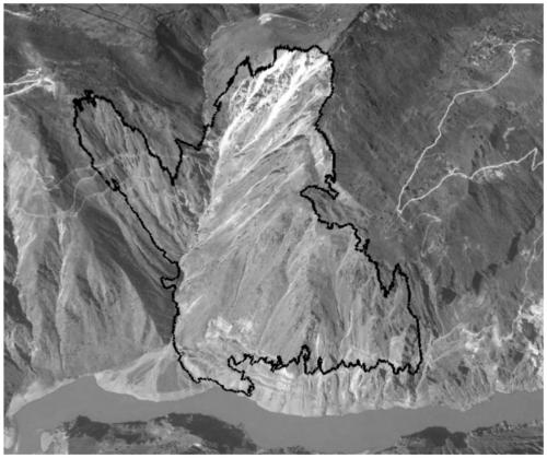
Figure 3
Abstract
Description
technical field
[0001] The invention belongs to the field of potential landslide identification, and in particular relates to an optical remote sensing potential landslide automatic identification method in consideration of InSAR deformation factor. Background technique
[0002] Landslide is a common natural disaster caused by natural factors or human activities, which mainly occurs in mountainous areas and valleys; optical remote sensing interpretation technology is used to identify landslides in the study area, although its coverage is large and human-computer interaction can be used to identify landslides. Identify landslides; however, traditional optical remote sensing image identification methods often can only provide semi-quantitative landslide identification results when conducting landslide investigations, there are missed and wrong judgments, and most of them are for regional positioning after the occurrence of landslides. It is difficult to realize early identific...
Examples
Embodiment
[0103] The present invention collects the ALOS / PALSAR orbit ascending data covering the Wudongde reservoir area in the Jinsha River Basin and the QuickBird-02 data covering the Shuanglongtan potential landslide area. Among them, there are 20 scenes of ALOS / PALSAR ascending orbit data obtained, and the image date range is from January 2007 to March 2011; the QuickBird-02 data obtained has 1 scene, including panchromatic data of 0.61m resolution and 2.44m High-resolution multispectral data, the acquisition date is November 15, 2009, the solar altitude angle is 43.6°, the solar azimuth angle is 162.7°, and the cloud coverage is 0.00%.