
High resolution remote sensing image airport detection method based on conditional random field model
A conditional random field, high-resolution technology, applied in the field of remote sensing image processing, can solve problems such as good detection results, false detection, complex background of high-resolution remote sensing images, etc., to achieve false alarm rate reduction, robust representation, strong application value effect
Patent Information
- Authority / Receiving Office
- CN · China
- Current Assignee / Owner
- Publication Date
- 2013-11-27
- Estimated Expiration
- Not applicable · inactive patent
Smart Images
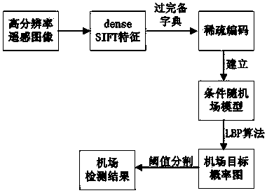
Figure 1 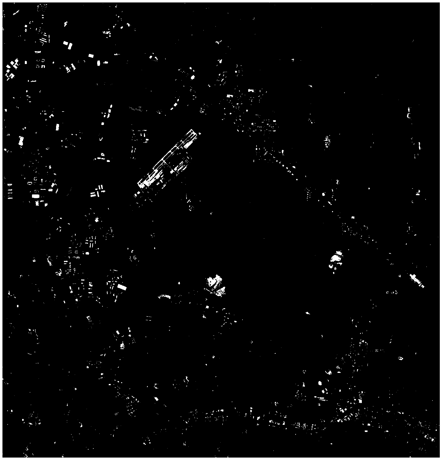
Figure 2 
Figure 3
Abstract
Description
technical field
[0001] The invention belongs to the technical field of remote sensing image processing, and in particular relates to a high-resolution remote sensing image airport detection method based on a conditional random field model. Background technique
[0002] With the rapid development of satellite and sensor technology, high-resolution remote sensing images provide very rich information for target detection such as airports. Effective use of this information can improve the performance of airport detection. Most existing algorithms realize airport detection by using geometric information such as the linear features of airport runways, but pure geometric information cannot effectively distinguish airports from highways, rivers, and artificial buildings. Chinese patent application number 201110166001.X describes a "selective attention mechanism-based airport target detection and recognition method for remote sensing images", using SIFT features to characterize airpo...
Examples
Embodiment Construction
[0020] Now in conjunction with embodiment, accompanying drawing, the present invention will be further described:
[0021] The hardware environment used for implementation is: Intel Xeon (R) CPU, E5504 2.0G 2.0G (2 processors) computer, 6.0GB memory, 1GB graphics card, and the software environment running is: Matlab R2012a, Windows7 64-bit operating system . We have realized the method that the present invention proposes with Matlab software. The high-resolution remote sensing images used in the experiment are all intercepted from Google Earth.
[0022] The present invention is specifically implemented as follows:
[0023] 1. Learning through a complete and complete dictionary: intercept 20*3=60 high-resolution remote sensing images from Google Earth at three different viewing heights of 5 kilometers, 15 kilometers and 25 kilometers for 20 typical airports, and Rotate and transform it every 45 degrees, and finally get a total of 60*8=480 images, and these 480 images form th...