
Method for calculation and regulation of integral time of star-loading TDICCD camera
A technology of integration time and adjustment method, applied in the direction of camera devices, etc., can solve the problems of image quality degradation, TDICCD camera can not obtain real-time integration time, image blur, etc., achieve high real-time performance, improve reliability and imaging quality, improve computing The effect of precision
Patent Information
- Authority / Receiving Office
- CN · China
- Patent Type
- Patents(China)
- Current Assignee / Owner
- Publication Date
- 2009-12-02
Smart Images
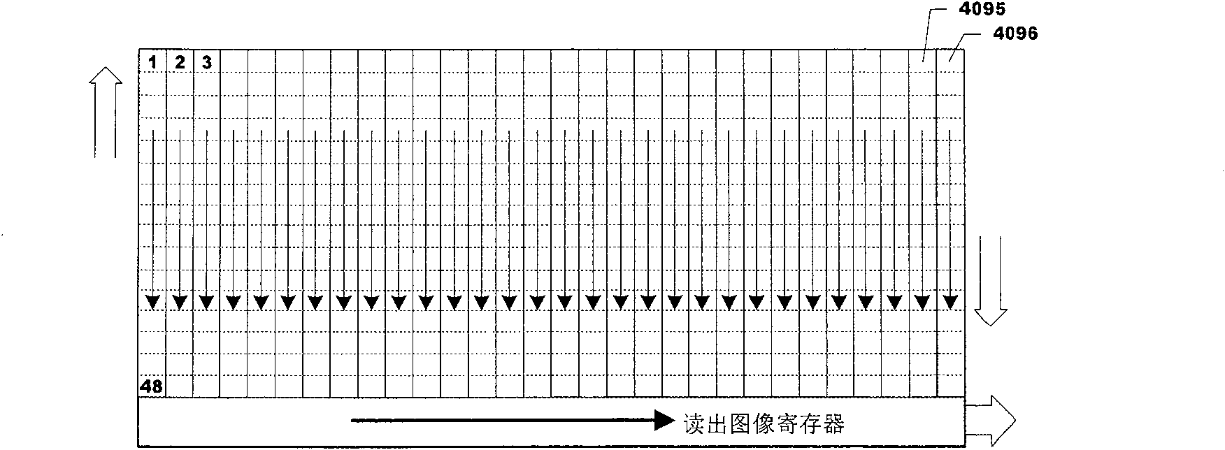
Figure 1 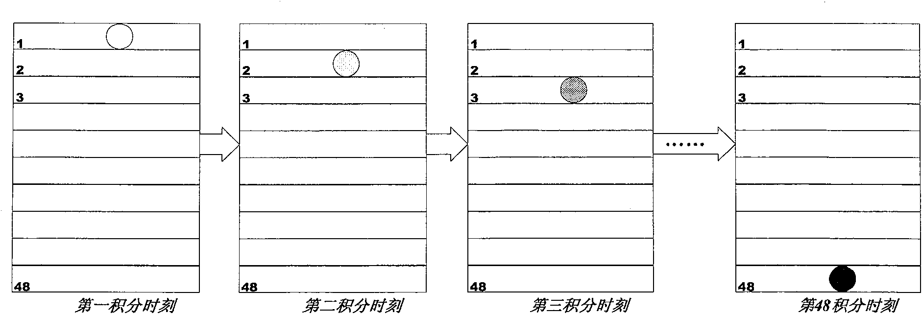
Figure 2 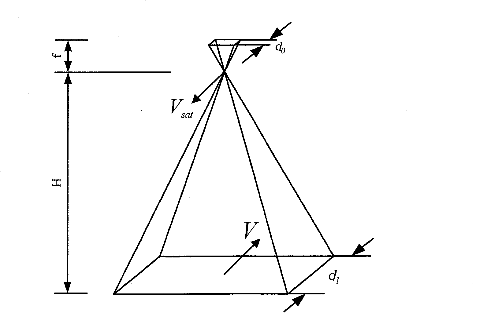
Figure 3
Abstract
Description
technical field
[0001] The invention relates to a method for calculating and adjusting the integral time of a spaceborne TDICCD camera, in particular to a method for calculating the integral time based on the differential algorithm of the photographic point position vector and a method for adjusting the integral time on the star for the automatic control of the ground command control auxiliary system. Background technique
[0002] With the development of imaging technology, TDICCD devices have been widely used in aerospace remote sensors. TDI (Time Delay and Integration)-CCD means Time Delay Integral Charge Coupled Device in Chinese. It is a new type of photoelectric sensor developed in recent years. Features, using the TDICCD device as the focal plane detector of the remote sensor can reduce the relative aperture of the optical system, thereby reducing the weight and volume of the remote sensor.
[0003] For spaceborne optical remote sensors using TDICCD devices, the imagi...
Examples
Embodiment Construction
[0056] TDICCD camera integration time calculation method flow is as follows Figure 4 As shown, it includes four processes of high-precision orbit simulation, calculation of photographic point position vector data, radial velocity elimination, and solution integration time.
[0057] (1) High-precision track simulation
[0058] First, vector simulation is performed using high-precision track simulation software, and the software used in this embodiment is STK. Input the number of satellite orbit elements in STK, build a remote sensor in the satellite, set the installation angle of the remote sensor to simulate TDICCD camera imaging, because the remote sensor itself can only provide the longitude, latitude, oblique distance data and remote sensing of the intersection point of the boresight and the earth The position vector data of the intersection curve (pattern intersection) between the sensor envelope and the earth, so a remote sensor with a field of view of 0 degrees is used...