Simplified creation of customized maps

a map and simplified technology, applied in maps/plans/charts, navigation instruments, instruments, etc., can solve the problem of time-consuming and time-consuming task of quick creation of customized content for maps, and achieve the effect of efficient and timely production

US8902260B2Active Publication Date: 2014-12-02GOOGLE LLC
29 Cites 20 Cited by

Patent Information

Authority / Receiving Office
US · United States
Patent Type
Patents(United States)
Current Assignee / Owner
Publication Date
2014-12-02

Smart Images

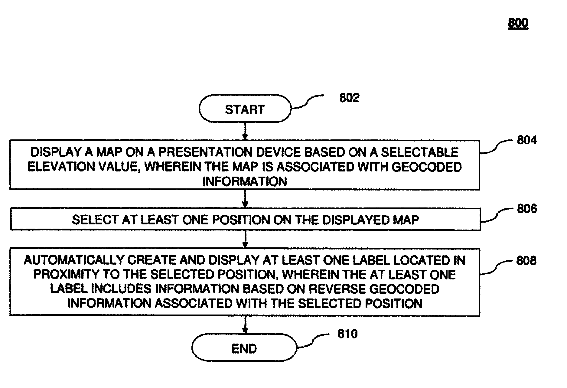
  • Figure 1
    Figure 1
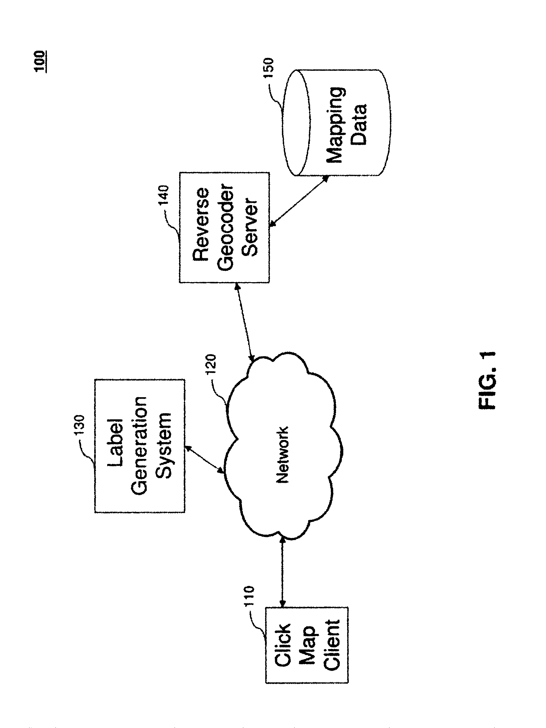
  • Figure 2
    Figure 2
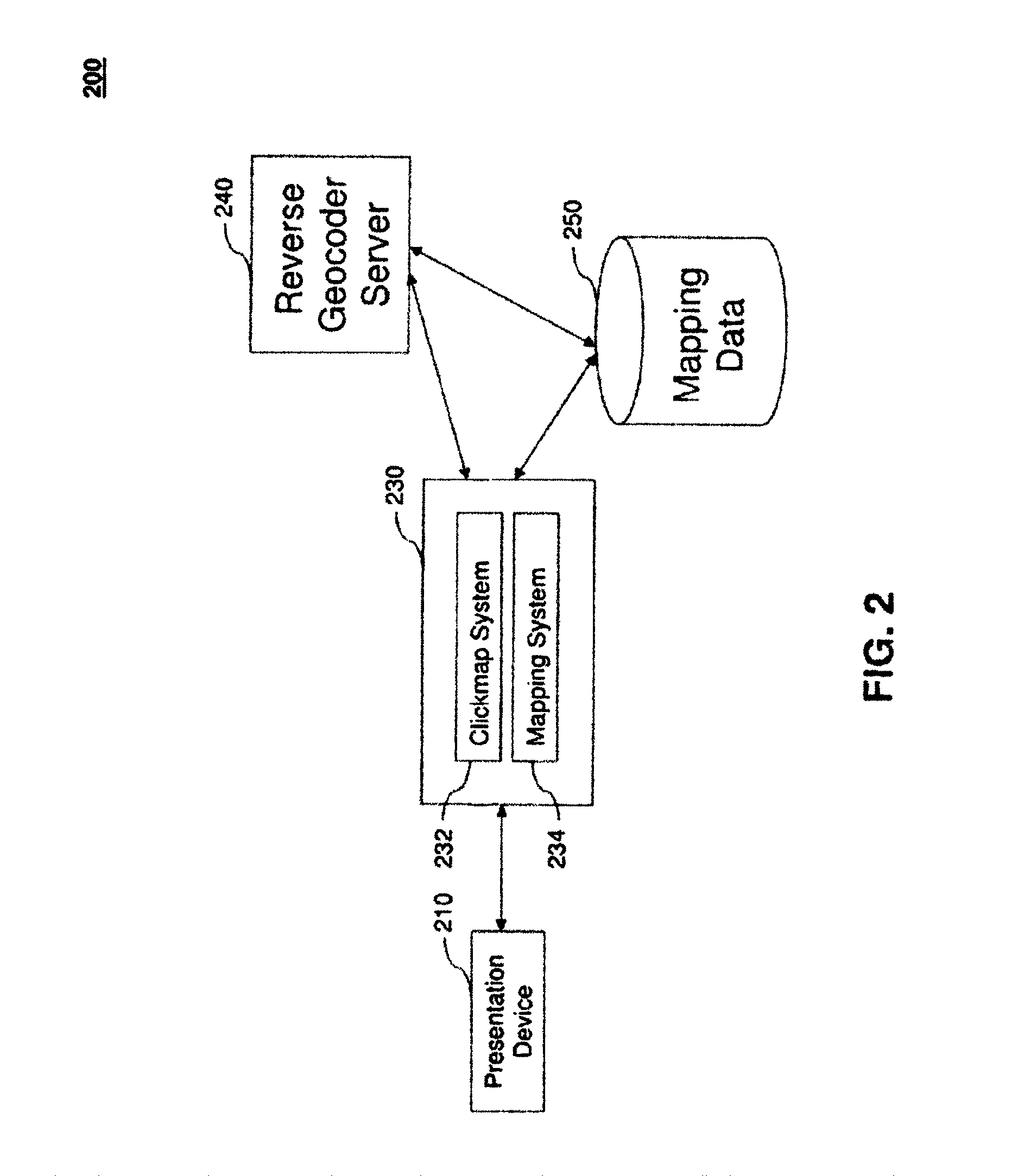
  • Figure 3
    Figure 3
Patent Text Reader

Abstract

Embodiments of the present invention relate to providing a method for creating customized labeled maps that include displaying a map using a presentation device based on a selectable elevation value, where the map contains geocoded information and the user selects at least one position on the displayed map. The method continues by automatically creating and displaying at least one label located in proximity to the selected position, where at least one label is based on reverse geocoded information associated with the selected position.
Need to check novelty before this filing date? Find Prior Art

Description

BACKGROUND

[0001] 1. Field

[0002] Embodiments of the present invention relate to generating and customizing maps.

[0003] 2. Background

[0004] A geographic information system (GIS) is used to store, retrieve, and manipulate data that has been stored and indexed according to geographic coordinates. Typical geographic information systems support the display of information associated with specific geographic coordinates where such information is categorized into various layers representing differing levels of detail. Such information can represent such detail as specific addresses at a low layer level and at higher levels data such as the name of the neighborhood, the associated city, county, state, and country.

[0005] A user of such geographic information may desire to create a customized map showing a particular feature or highlighting selective information associated with a select area. For example, a television news team may wish to show a map of an area that contains a river that is about to...

Examples

Embodiment Construction

[0021]While the present invention is described herein with reference to illustrative embodiments for particular applications, it should be understood that the invention is not limited thereto. Those skilled in the art with access to the teachings provided herein will recognize additional modifications, applications, and embodiments within the scope thereof and additional fields in which the invention would be of significant utility.

[0022]The embodiments described herein are referred in the specification as “one embodiment,”“an embodiment,”“an example embodiment,” etc. These references indicate that the embodiment(s) described can include a particular feature, structure, or characteristic, but every embodiment does not necessarily include every described feature, structure, or characteristic. Further, when a particular feature, structure, or characteristic is described in connection with an embodiment, it is understood that it is within the knowledge of one skilled in the art to affe...