
Method and apparatus for generating a precision fires image using a handheld device for image based coordinate determination
a handheld device and coordinate determination technology, applied in direction controllers, instruments, computing, etc., can solve the problems of reducing workload, limiting forward observer mobility, and reducing operator training,
- Summary
- Abstract
- Description
- Claims
- Application Information
AI Technical Summary
Benefits of technology
Problems solved by technology
Method used
Image

Examples
Embodiment Construction
[0029]It is to be understood that the foregoing general description and the following detailed description are exemplary and explanatory only and are not to be viewed as being restrictive of the present invention, as claimed. Further advantages of this invention will be apparent after a review of this detailed description of the disclosed embodiments in conjunction with the drawings.
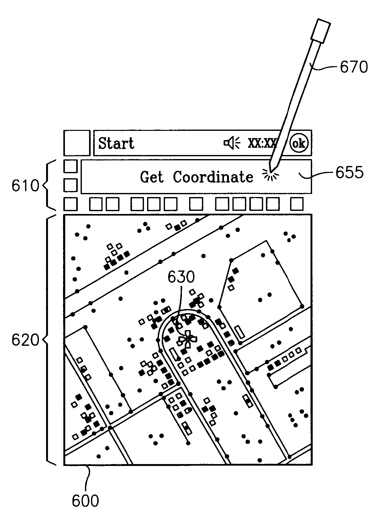
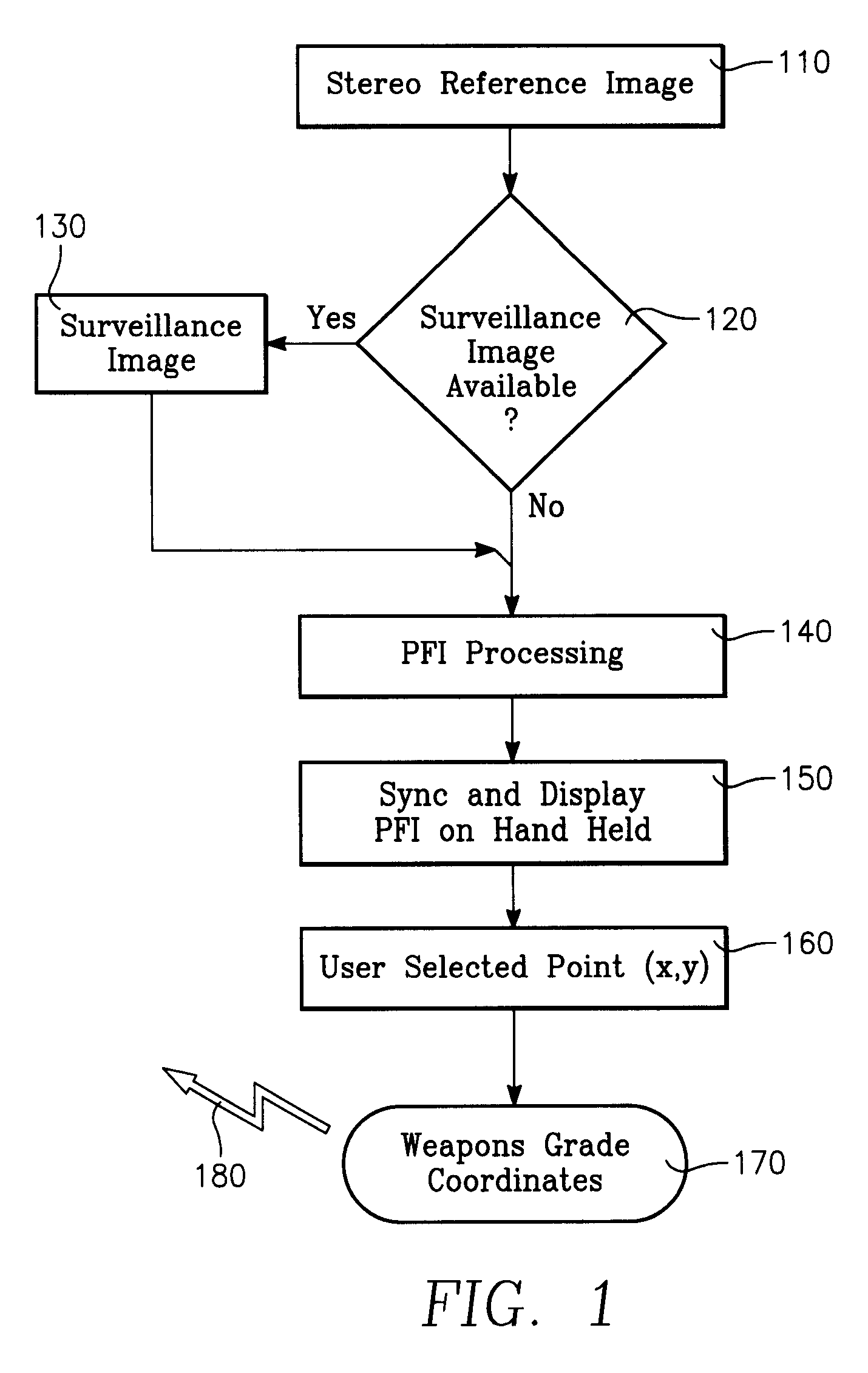
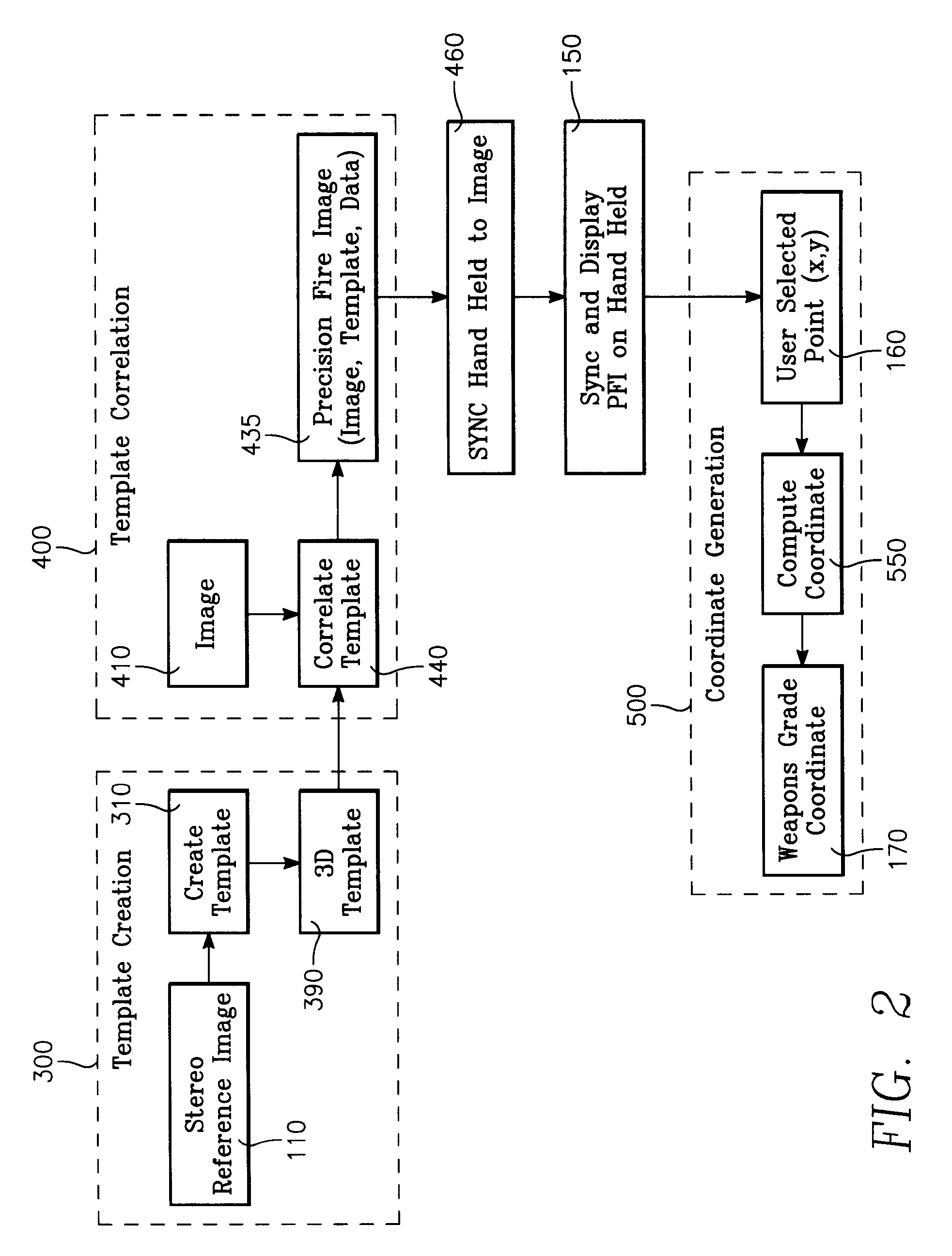
[0030]Embodiments of the present invention include an apparatus, a method and a computer program product for preprocessing and displaying a single composite image from which a user selects a point using a moveable cursor, for performing a conversion of the user selected point to a single geodetic coordinate, calculating error terms for the conversion from the selected point to the single geodetic coordinate and outputting a result which combines the conversion and the error terms. The term single geodetic coordinate and weapons grade coordinate are used interchangeably throughout this specification and c...
PUM
 Abstract
Description
Claims
Application Information