
Indoor positioning navigation method and system for visually impaired people
An indoor positioning and navigation method technology, applied in navigation, surveying and mapping and navigation, navigation computing tools, etc., can solve the problems of being unable to live independently and not being able to meet the daily needs of the visually impaired, and achieve a good auxiliary effect
Patent Information
- Authority / Receiving Office
- CN · China
- Patent Type
- Applications(China)
- Current Assignee / Owner
- Publication Date
- 2017-11-07
Smart Images
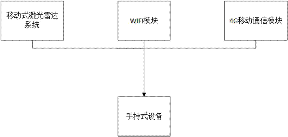
Figure 1 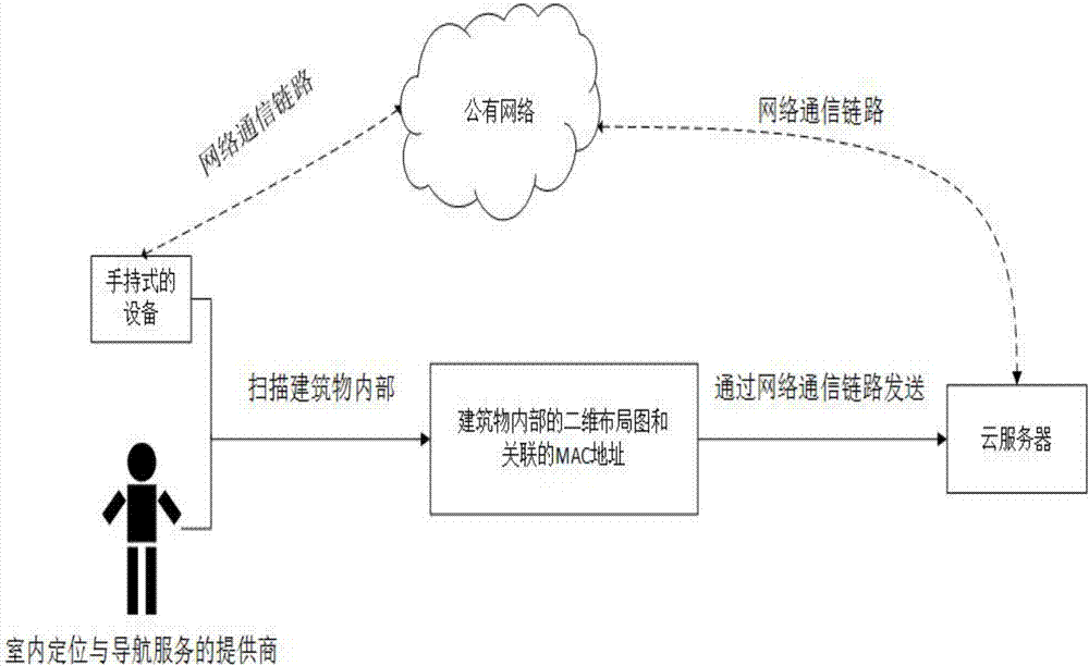
Figure 2 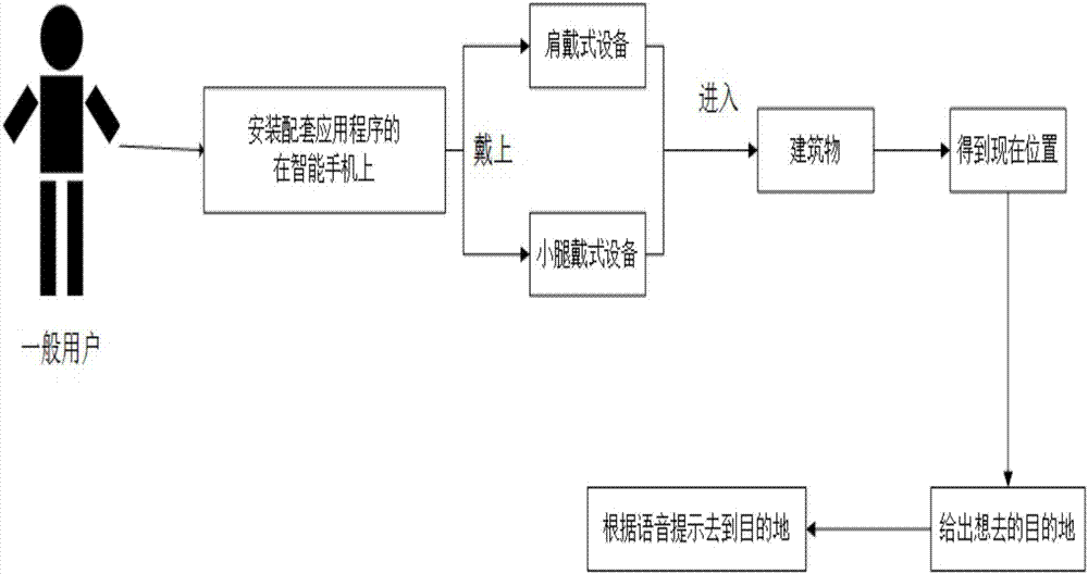
Figure 3
Abstract
Description
technical field
[0001] The invention relates to the technical field of indoor positioning and navigation, in particular to an indoor positioning and navigation method and system suitable for visually impaired persons. Background technique
[0002] At present, the number of visually impaired people in my country has exceeded 10 million, and this number is still increasing. There are so many visually impaired people, why do we see so few in our daily life? Because they really dare not go out. Almost all public facilities are not friendly to the visually impaired. Due to the unfriendly facilities and traffic, it can be said that it is difficult for the visually impaired to walk without someone to accompany them. Therefore, when they go out, they need someone to take them with them. This adds a lot of cost to going out, not just money cost. We should not only ask the government to continue to introduce more comprehensive policies and regulations, or to manufacture more prod...
Examples
Embodiment Construction
[0030] In the present invention, there are two types of users: providers and general users, and general users include visually impaired users.
[0031] The provider uses a handheld device to scan the interior of the building, obtains the corresponding two-dimensional layout map of the building and associates it with the MAC addresses of one or more WIFI routers of the building, and then operates the handheld device to connect the two The dimensional layout diagram and the associated MAC address are sent to the cloud server through the public network for storage.
[0032] Such as figure 1 As shown, the handheld device includes a mobile lidar system, WIFI module and 4G mobile communication module. The handheld device uses the mobile lidar to collect the internal structure data of the building, and uses the real-time positioning and layout reconstruction technology to obtain the indoor structure of the building. Two-dimensional layout diagram, and associate it with one or more W...