A Beidou Deformation Monitoring and Positioning Method Based on Fuzzy Confidence Filtering

A deformation monitoring and positioning method technology, applied in the field of satellite navigation and positioning

CN105549050BActive Publication Date: 2017-11-28HEFEI UNIV OF TECH
5 Cites 0 Cited by

Patent Information

Authority / Receiving Office
CN · China
Patent Type
Patents(China)
Current Assignee / Owner
Publication Date
2017-11-28

Smart Images

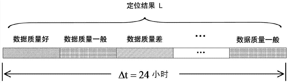
  • Figure 1
    Figure 1
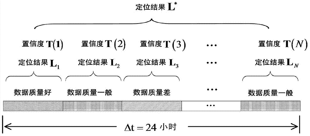
  • Figure 2
    Figure 2
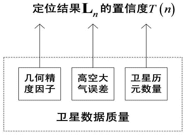
  • Figure 3
    Figure 3
Patent Text Reader

Abstract

The invention discloses a Beidou deformation monitoring and positioning method based on fuzzy confidence filtering. The method comprises the following steps of: firstly, dividing a monitoring period into a plurality of sub-periods, and calculating a positioning result of each sub-period; then according to satellite distribution, error sources and a satellite epoch number of each sub-period, adopting a fuzzy set theory to determine the fuzzy confidence of each positioning result; and finally, utilizing the fuzzy confidence to carry out weighted filtering so as to obtain a final positioning result of the whole monitoring period. According to the invention, the positioning calculation process is detailed, each factor influencing the positioning precision is fully considered, and the final positioning result is enabled to achieve a higher positioning precision; and especially when the weather changes in the monitoring period, the method has obvious advantages in positioning precision, so that the method has a wide application prospect.
Need to check novelty before this filing date? Find Prior Art

Description

technical field

[0001] The invention belongs to the field of satellite navigation and positioning, in particular to a Beidou deformation monitoring and positioning method based on fuzzy confidence filtering. Background technique

[0002] Beidou deformation monitoring refers to the use of Beidou navigation satellite "static relative positioning technology" to obtain high-precision coordinates (millimeter level) of monitoring points, so as to analyze and judge the displacement or settlement of dams, bridges, foundations, etc., which has important application value.

[0003] At present, when using navigation satellite (GPS, GLONASS, Beidou) technology to monitor the ground deformation, the "static relative positioning method" is adopted. In this method, the monitoring station is considered to be stationary, and the baseline vector between the reference station and the monitoring station is solved by using the principle of least squares adjustment by collecting a large amount of...

Examples

Embodiment Construction

[0052] A Beidou deformation monitoring and positioning method based on fuzzy confidence filtering is applied in a monitoring environment composed of Beidou navigation satellites, base stations and mobile stations; the base station receives the base station satellite epoch data sent by Beidou navigation satellites and sends them to Rover station: The rover station receives the rover satellite epoch data sent by the Beidou navigation satellite and the base station satellite epoch data sent by the base station, and performs differential processing on the two to obtain differential positioning data, denoted as X;

[0053] Such as Figure 4 As shown, the Beidou deformation monitoring and positioning method is carried out in the following steps:

[0054] Step 1, divide the differential positioning data X of the mobile station according to the time period, and obtain the differential positioning data of N sub-time periods, for example, divide the 24-hour observation period into 12 su...