
A natural river course cross section stage-discharge relation determining method
A technology of river section and determination method, applied in special data processing applications, instruments, electrical digital data processing, etc., can solve problems such as double values, and achieve the effect of avoiding double value problems
- Summary
- Abstract
- Description
- Claims
- Application Information
AI Technical Summary
Problems solved by technology
Method used
Image

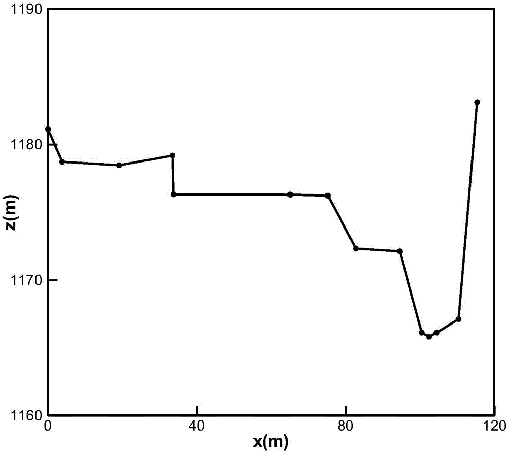
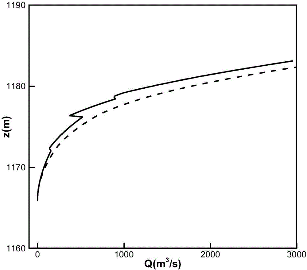
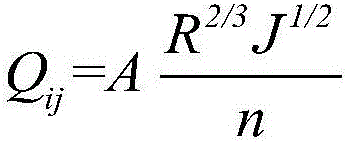
Examples
Embodiment Construction
[0024] The present invention will be further described in detail below in conjunction with the accompanying drawings and specific embodiments, but the present invention is not limited to these embodiments.
[0025] The invention provides a method for determining the relationship between water level and flow of a natural river section, which is specifically implemented according to the following steps.
[0026] Step 1: Analysis and correction of the measurement data of the natural channel section.
[0027] Obtain the measured section data (or topographic map extraction data) at the target section A (x i ,z i ), where i=1,...,N, x i Represents the distance from the i-th point to the starting point of the cross-section x 1 distance, z i Represents the elevation value of the point. In order to facilitate subsequent calculation of the relationship between water level and flow, the cross section x 1 and x N Divide them into M small units equally, that is, divide them into M s...
PUM
 Abstract
Description
Claims
Application Information