

A Parallel Extraction Method of Trees and Plants from UAV Images
An extraction method and unmanned aerial vehicle technology, applied in the field of investigation and research of forest plants, can solve the problems of low accuracy, long algorithm time-consuming, difficult to identify trees at the same time, and achieve high efficiency, speed and high precision
- Summary
- Abstract
- Description
- Claims
- Application Information
AI Technical Summary
Problems solved by technology
Method used
Image

Examples
Embodiment Construction
[0014] The present invention will be further described below in conjunction with specific embodiments.
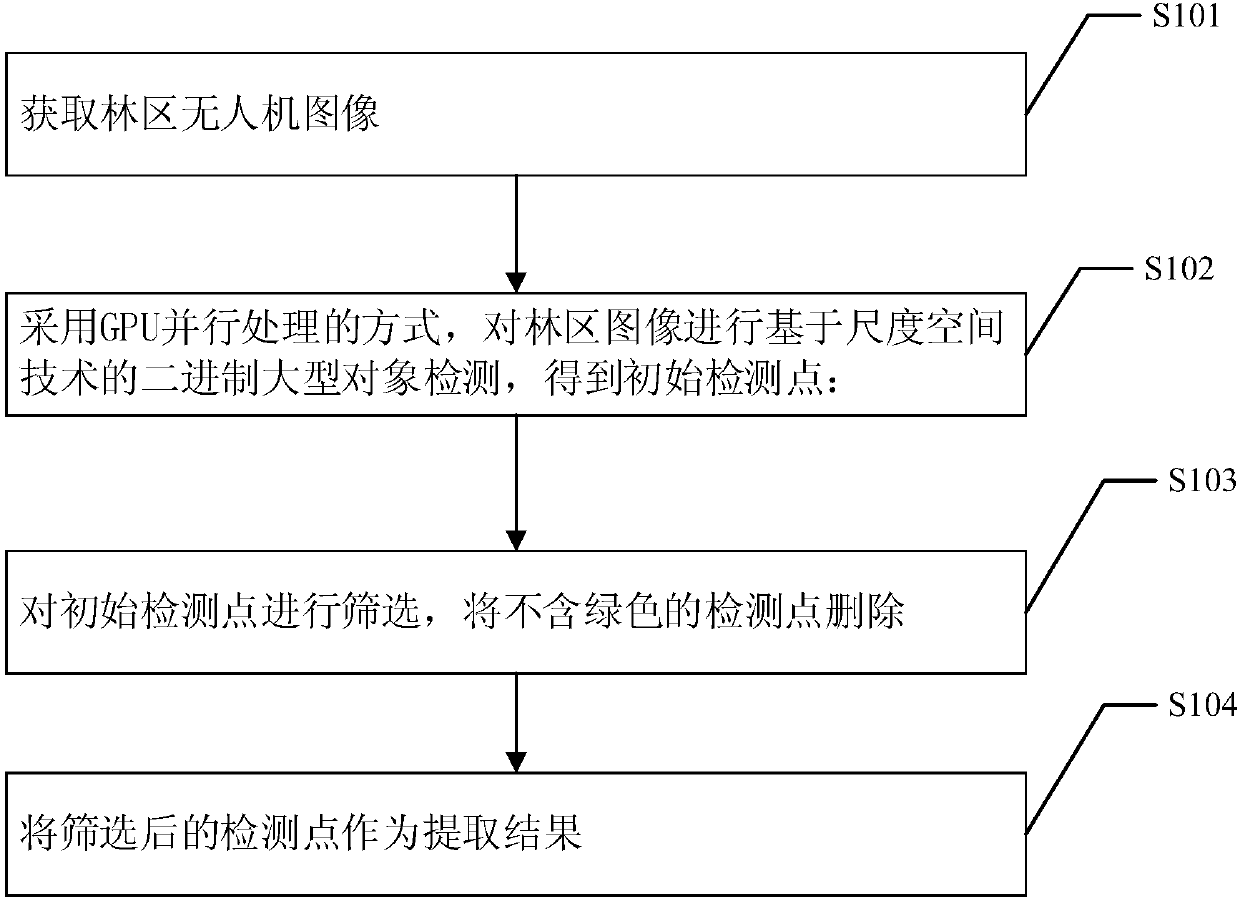
[0015] The parallel extraction method of forest trees and plants for UAV images of the present invention, such as figure 1 Shown, including steps:
[0016] Step s101: Obtain a forest area image taken by a drone;
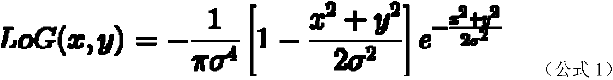
[0017] Step s102, using GPU parallel processing to perform binary large-scale object detection on the forest image based on scale space technology to obtain detection points;
[0018] Step s103: Screen the initial detection points, and delete the detection points that do not contain green;
[0019] Step s104: Use the screened detection points as the extraction result.
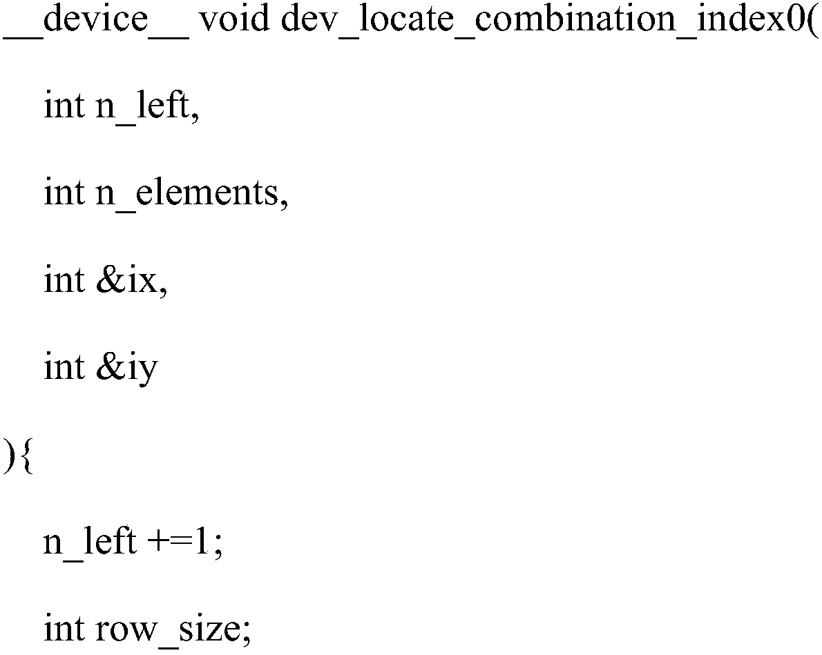
[0020] Using the PyCUDA platform, the parallel extraction algorithm of forest trees and plants from UAV images is realized. CUDA (ComputeUnified Device Architecture) technology is a C-like language GPU programming platform developed by NVIDIA. PyCUDA is a Python language package of CUDA, which provides auto...
PUM
 Abstract
Description
Claims
Application Information