An intelligent evaluation method for satellite remote sensing image availability

A remote sensing image and satellite remote sensing technology, applied in the field of remote sensing image applications, can solve problems such as difficulties in comprehensive reflection

Inactive Publication Date: 2018-12-18
BEIHANG UNIV
View PDF2 Cites 4 Cited by
  • Summary
  • Abstract
  • Description
  • Claims
  • Application Information

AI Technical Summary

Problems solved by technology

Although some basic factors that affect image usability ratings are reflected in th

Method used


Image

  • An intelligent evaluation method for satellite remote sensing image availability
  • An intelligent evaluation method for satellite remote sensing image availability
  • An intelligent evaluation method for satellite remote sensing image availability

Examples


Embodiment Construction

[0069] The specific implementation manner of the present invention will be described in detail below in conjunction with the accompanying drawings.

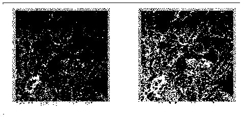
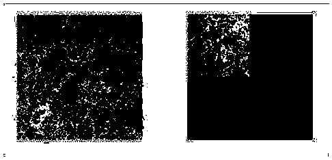
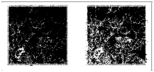
[0070] Such as figure 1 as shown, figure 1 flow chart of the procedure for classification and grading of availability;

[0071] An intelligent evaluation method for the availability of satellite remote sensing images, characterized in that it comprises the following steps:

[0072] S1: image input;

[0073] S2: Input the feature type according to the user's needs and calculate the feature impact parameter β of the feature type;

[0074] In the step S2, the object influence parameter is determined according to the formula (2):

[0075] β=1+flag×ρ-flag (2)

[0076] Among them, if the user needs to input the feature type, then flag=1, if the user does not need to input the feature type, flag=0;

[0077] When flag=1, detect the feature type input by the user, and count the total area S of the feature type 地 , the total area S ...


PUM


Abstract

The invention provides an intelligent evaluation method for satellite remote sensing image availability, comprising the following steps: S1, inputting images; S2, according to the user requirements, inputting the surface feature type and calculating the surface feature influence parameters of the surface feature type; S3, performing cloud detection on the image inputted in the step S1; 4, calculating the cloud thickness, the cloud fragmentation degree and the cloud coverage rate according to the cloud detection result; S5, inputting the cloud thickness, the cloud fragmentation degree and the cloud coverage calculated in the step S4 into a remote sensing image availability evaluation model to calculate the objective availability of the corresponding remote sensing image; S6, calculating thefinal availability level of the remote sensing image according to the objective availability calculated in the step S5 and the surface object influence parameter calculated in the step S2; S7: outputting the corresponding remote sensing image according to the final availability level. The invention provides an intelligent evaluation method of remote sensing image availability, which combines theobjective factors influencing the availability and the subjective influence of the related user requirements, and is used for realizing the image availability evaluation through a reasonable step design.

Description

technical field [0001] The invention relates to the application field of remote sensing images, in particular to an intelligent evaluation method for the availability of satellite remote sensing images. Background technique [0002] With the rapid development of remote sensing and space technology, satellite remote sensing images are more and more used in earth resource investigation, natural disaster prediction and forecasting, environmental pollution, etc. Monitoring, satellite weather forecasting, and ground target recognition and other aspects. The acquisition and interpretation of high-quality satellite remote sensing images has become one of the important supporting technologies for the development of national economy and national defense technology. [0003] Due to the cloud occlusion problem, the accuracy of subsequent image target recognition, image classification and ground information extraction is reduced, and even wrong results are caused, which affects the use...

Claims


Application Information

Patent Timeline
IPC IPC(8): G06T7/00
CPCG06T7/0002G06T2207/10032G06T2207/20081G06T2207/20084G06T2207/30192
Inventor 郑红邓颖李晓龙王义林炜安爽
Owner BEIHANG UNIV
Why Eureka
Try Eureka