Azimuthal elemental imaging

a technology of elemental imaging and azimuthal elements, applied in the field of azimuthal elemental imaging, can solve the problem of providing little or no information about the formation mineral composition

US7880134B2Active Publication Date: 2011-02-01BAKER HUGHES INC
16 Cites 18 Cited by

Patent Information

Authority / Receiving Office
US · United States
Patent Type
Patents(United States)
Current Assignee / Owner
Publication Date
2011-02-01

Smart Images

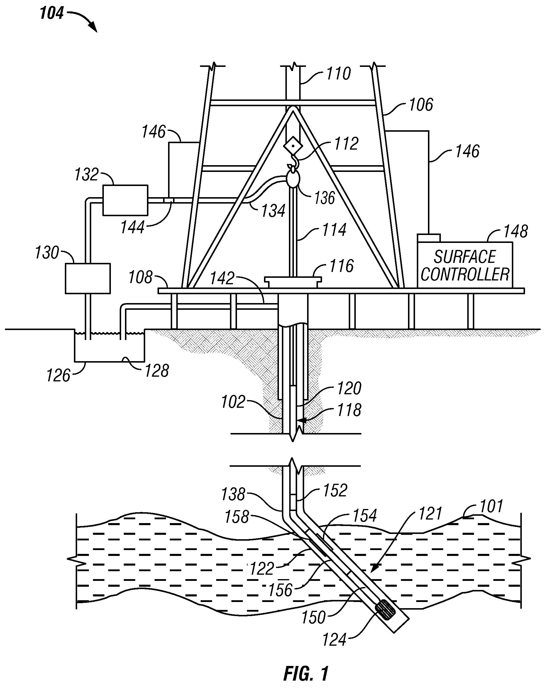
  • Figure 1
    Figure 1
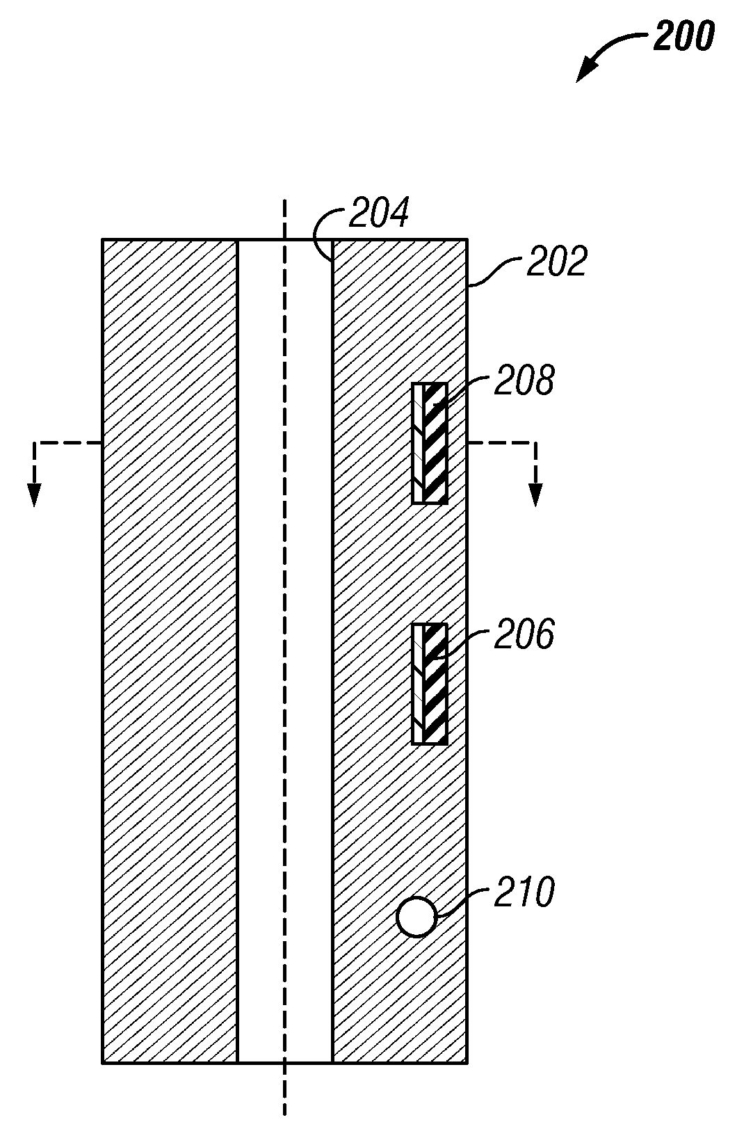
  • Figure 2
    Figure 2
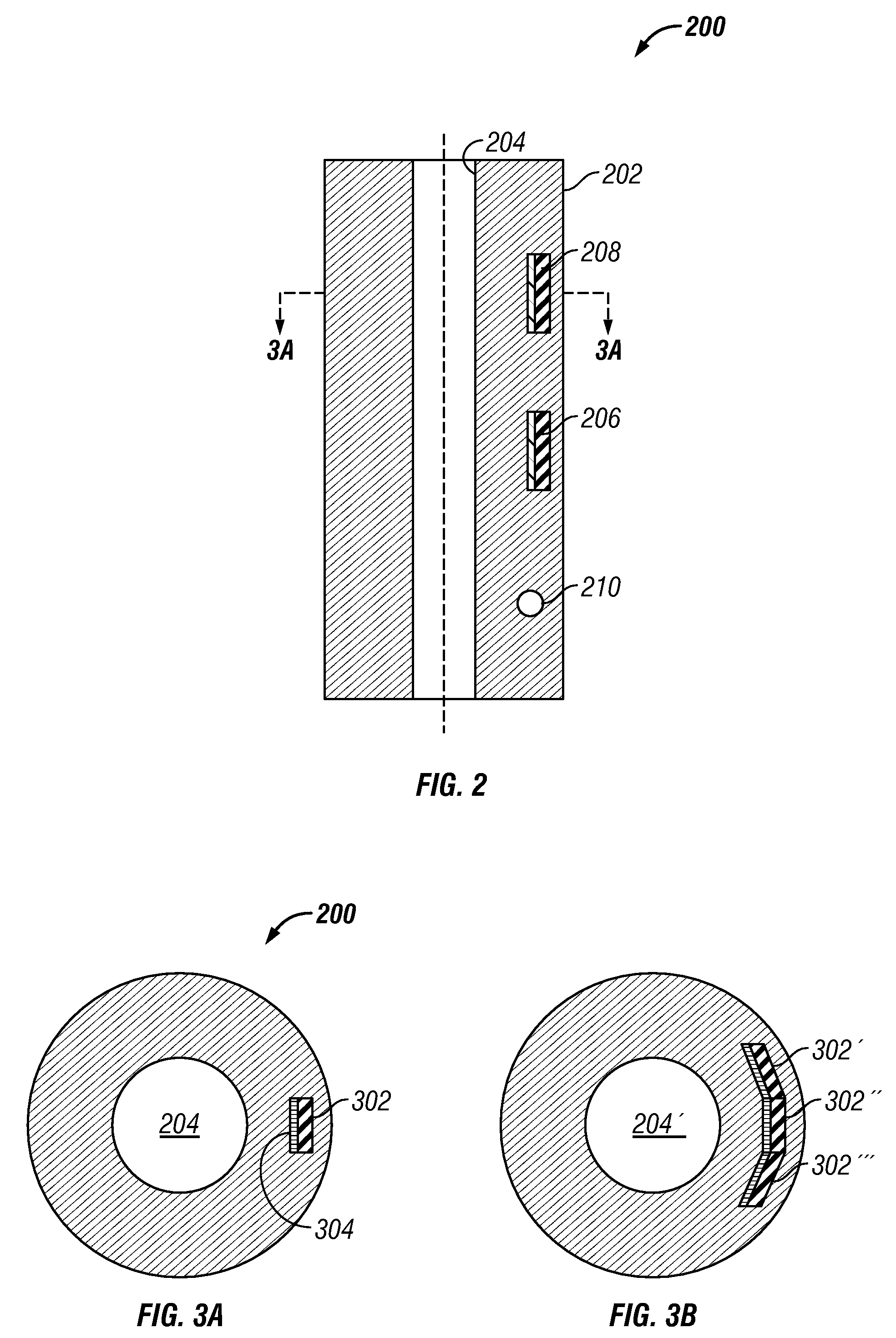
  • Figure 3
    Figure 3
Patent Text Reader

Abstract

Measurements made by a pulsed neutron tool with two or more gamma ray detectors are used to provide a mineralogical and / or elemental image of the formation. This may be used in reservoir navigation and in furthering the understanding of the geology of the prospect. It is emphasized that this abstract is provided to comply with the rules requiring an abstract which will allow a searcher or other reader to quickly ascertain the subject matter of the technical disclosure. It is submitted with the understanding that it will not be used to interpret or limit the scope or meaning of the claims. 37 CFR 1.72(b).
Need to check novelty before this filing date? Find Prior Art

Description

FIELD OF THE DISCLOSURE

[0001] The present disclosure relates generally to devices, systems, and methods of geological exploration in wellbores. More particularly, the present disclosure describes a device, a system, and a method useful for producing a lithology image of an earth formation in a borehole during drilling.BACKGROUND OF THE DISCLOSURE

[0002] A variety of techniques are currently utilized in determining the presence and estimation of quantities of hydrocarbons (oil and gas) in earth formations. These methods are designed to determine formation parameters, including, among other things, the resistivity, porosity, and permeability of the rock formation surrounding the wellbore drilled for recovering the hydrocarbons. Typically, the tools designed to provide the desired information are used to log the wellbore. Much of the logging is done after the wellbores have been drilled. More recently, wellbores have been logged while drilling, which is referred to as measurement-while-dr...

Examples

Embodiment Construction

[0016]FIG. 1 is an elevation view of a simultaneous drilling and logging system that incorporates an embodiment of the present disclosure. A borehole 102 is drilled into the earth under control of surface equipment including a rotary drilling rig 104. In accordance with a conventional arrangement, rig 104 includes a derrick 106, derrick floor 108, draw works 110, hook 112, kelly joint 114, rotary table 116, and drill string 118. The drill string 118 includes drill pipe 120 secured to the lower end of the kelly joint 114 and to the upper end of a section comprising a plurality of drill collars. The drill collars include not separately shown drill collars such as an upper drill collar, an intermediate sub drill collar, and a lower drill collar bottomhole assembly (BHA) 121 immediately below the intermediate sub. The lower end of the BHA 121 carries a downhole tool 122 of the present disclosure and a drill bit 124.

[0017]Drilling fluid 126 is circulated from a mud pit 128 through a mud ...