

Soil physical property classification recognition method and device based on geological radar
A technology of geological radar and identification method, applied in the field of detection, which can solve the problems of non-stationarity and randomness, difficulty in correctly interpreting appearance features, and time-varying echo signals.
Patent Information
- Authority / Receiving Office
- CN · China
- Current Assignee / Owner
- Publication Date
- 2014-07-23
- Estimated Expiration
- Not applicable · inactive patent
Smart Images
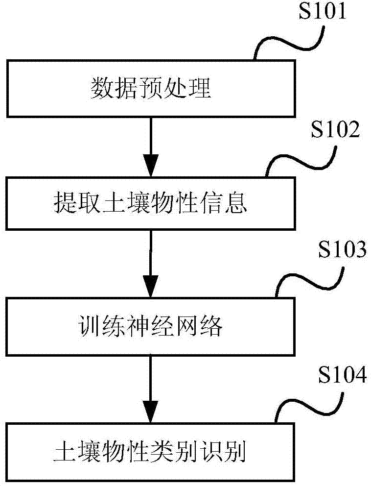
Figure 1 
Figure 2 
Figure 3
Abstract
Description
technical field
[0001] The invention relates to the field of detection technology, in particular to a method and device for identifying soil physical properties based on geological radar. Background technique
[0002] Soil physical properties refer to soil physical properties, such as soil water content, soil texture, soil porosity, etc. Taking soil water content as an example, soil can be regarded as different categories according to the value of soil water content. Mastering the types of soil physical properties is beneficial to environmental protection, engineering planning and construction, etc.
[0003] Geological radar technology is a science of underground target detection by transmitting high-frequency pulsed electromagnetic waves (frequency range 106-109Hz). The basic principle is: the transmitter transmits pulsed electromagnetic wave signals through the transmitting antenna. When detecting a target, a reflected signal is generated. The direct signal and reflecte...
Examples
Embodiment Construction
[0030] The technical solution of the present invention will be described in detail below with reference to the accompanying drawings and examples.
[0031] figure 1 It is a flow chart of the soil physical property category identification method based on geological radar in the present invention, including:
[0032] S101, a data preprocessing step, performing denoising processing and filtering processing on the digital signal collected by the ground radar;
[0033] S102, the soil physical property information extraction step, extracting characteristic data representing soil physical properties from the data that has undergone the data preprocessing step;
[0034] S103, the neural network training step, using the feature data as a data set for training the neural network, training the neural network, and obtaining a mapping result corresponding to the feature data;
[0035] S104, the step of identifying the soil physical property category, inputting the characteristic data rep...