
Non-redundant massive terrain data organizing and reading method
A large-scale terrain and data organization technology, applied in the field of data organization and reading methods, can solve the problems of wasted storage space and data storage redundancy, and achieve the effect of convenient search and elimination of redundancy.
- Summary
- Abstract
- Description
- Claims
- Application Information
AI Technical Summary
Problems solved by technology
Method used
Image

Examples
Embodiment Construction
[0042] The present invention will be further described below in conjunction with the accompanying drawings.
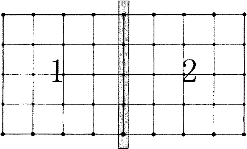
[0043] figure 1 is a structural schematic diagram of data storage in the prior art, where the edges of adjacent terrain sub-blocks represent redundant vertices.
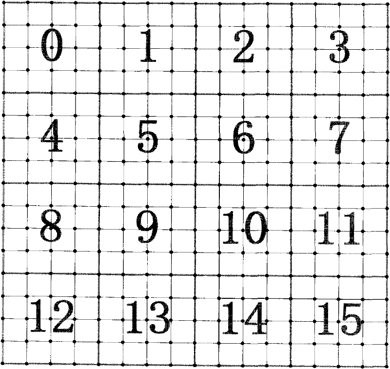
[0044] Such as figure 2 As shown, it is a schematic diagram of terrain blocks with the original full resolution of 17*17. In this method, the terrain is first uniformly divided into blocks, and the original terrain resolution is M*N (M = N = 2 4 +1), the block size is K*K (K = 2 2 +1), 1<K < min(m,n); the number of blocks is P*Q (P = (M-1) / (K-1), Q = (N-1) / (K-1) ).
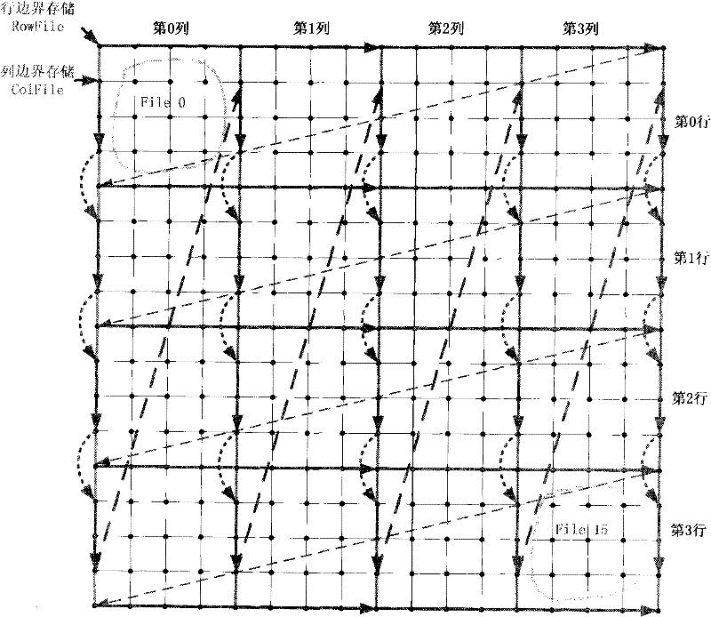
[0045] Each terrain sub-block is stored in a file separately. Since every two terrain sub-blocks contain the same vertices on the common side, in order to avoid redundant storage, the vertices on the common side are not stored in the terrain sub-block file, and the construction A dedicated file is used to store these public vertices. ...
PUM
 Abstract
Description
Claims
Application Information