

Map base map integration method
An integrated method and map technology, applied in 2D image generation, image data processing, still image data retrieval, etc., can solve problems such as lack of map blocks, coordinate conversion calculation, network traffic, and large storage space consumption, etc. Smooth zooming, reduced slicing and coordinate calculation work, fast access to effects
Patent Information
- Authority / Receiving Office
- CN · China
- Patent Type
- Applications(China)
- Current Assignee / Owner
- Publication Date
- 2020-04-17
Smart Images
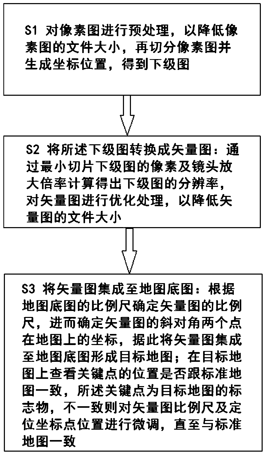
Figure 1 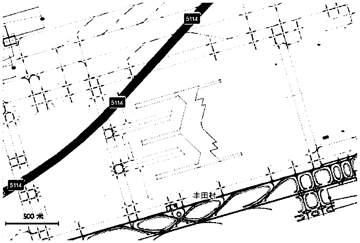
Figure 2 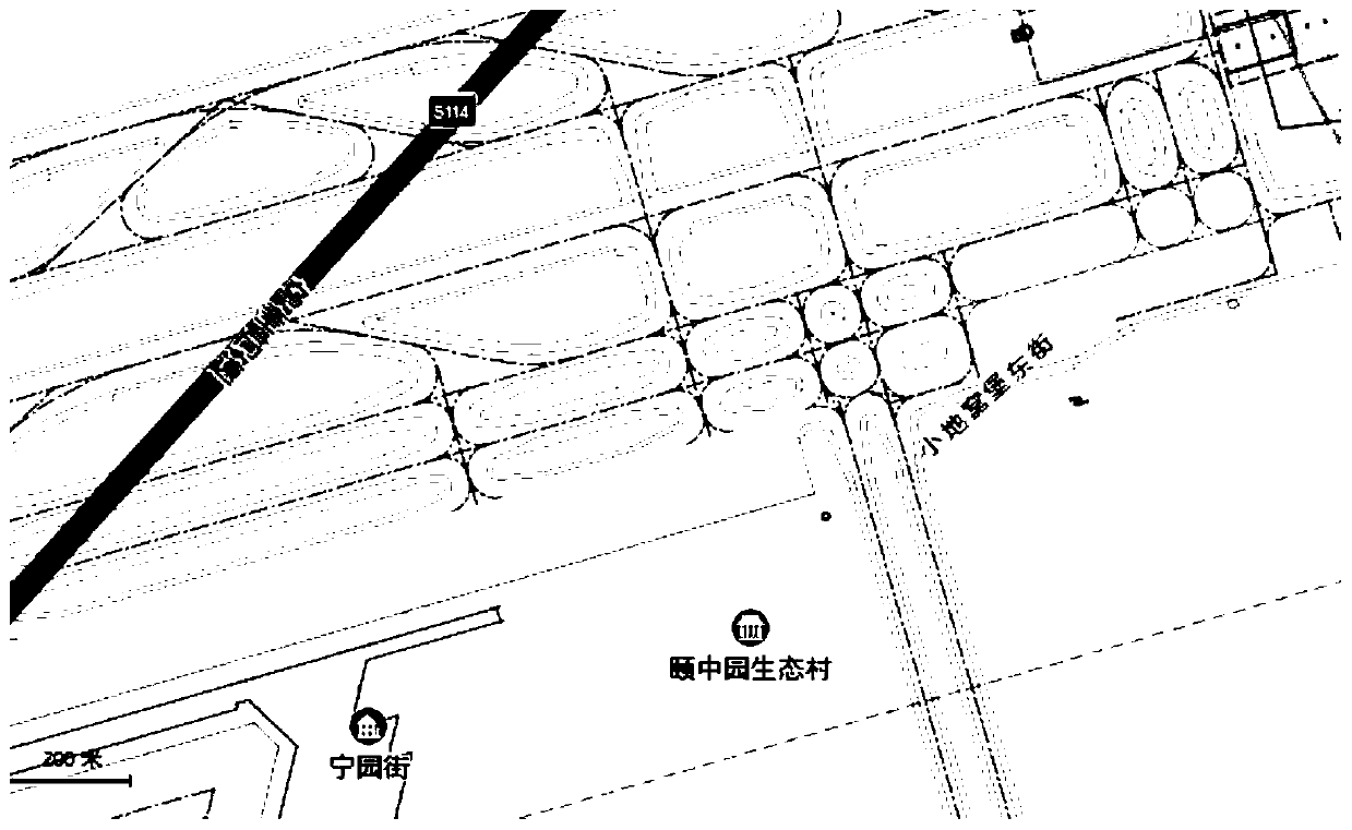
Figure 3
Abstract
Description
technical field
[0001] The invention relates to the field of map drawing, in particular to a map base map integration method. Background technique
[0002] At present, LBS (location-based service) has been greatly developed. With the addition of the Internet and the Internet of Things, more and more applications based on maps and locations have been developed and used, such as positioning, taxis, running, navigation, and surrounding life. , travel and so on. Provide basic and extended LBS service providers including Baidu, AutoNavi, Google, etc. Each R&D manufacturer can carry out secondary development on the basis of basic services according to their own different needs, expand and extend their own functional applications, and provide more detailed , more considerate service.
[0003] In many application scenarios, the minimum scale of the map provided by the basic service provider is relatively large (generally 10 meters), or the details are not detailed enough, or the u...
Examples
Embodiment
[0063] In an application in Xinjiang Airport, it is necessary to integrate the construction map into the map, and at the same time, it is required that the map lens zoom in without loss. The original base map provided is in DWG format, the size of the source file is 7.36Mb, and the pixel size is 8001*6423. This scheme is used for vector map conversion.
[0064] The S1 source file is simplified, the pixels are unchanged, and unnecessary complex composition layers are deleted, effectively reducing the file size to 4.52Mb;
[0065] S2 dwg is converted to svg format, the pixels are unchanged, and the vector file size after conversion is 1.71Mb;
[0066] The S3 svg vector image is optimized by the svgo algorithm, and the file size of the vector image is finally reduced to 840kb.
[0067] The vector map is integrated into the Gaode map by the map base map integration method of the present invention. The map base map is not limited to the Gaode map, other maps such as Google map, Ba...