
Wheat yield per unit remote sensing estimation method based on GF-1 data reconstruction
A GF-1, data reconstruction technology, applied in data processing applications, complex mathematical operations, calculations, etc., can solve problems such as low resolution, data affected by meteorological factors, and data discontinuity
- Summary
- Abstract
- Description
- Claims
- Application Information
AI Technical Summary
Problems solved by technology
Method used
Image

Examples
Embodiment Construction
[0090] The core of the invention is to provide a method for estimating wheat yield per unit area remote sensing based on GF-1 data reconstruction.
[0091] Below in conjunction with accompanying drawing, content of the present invention will be further described:
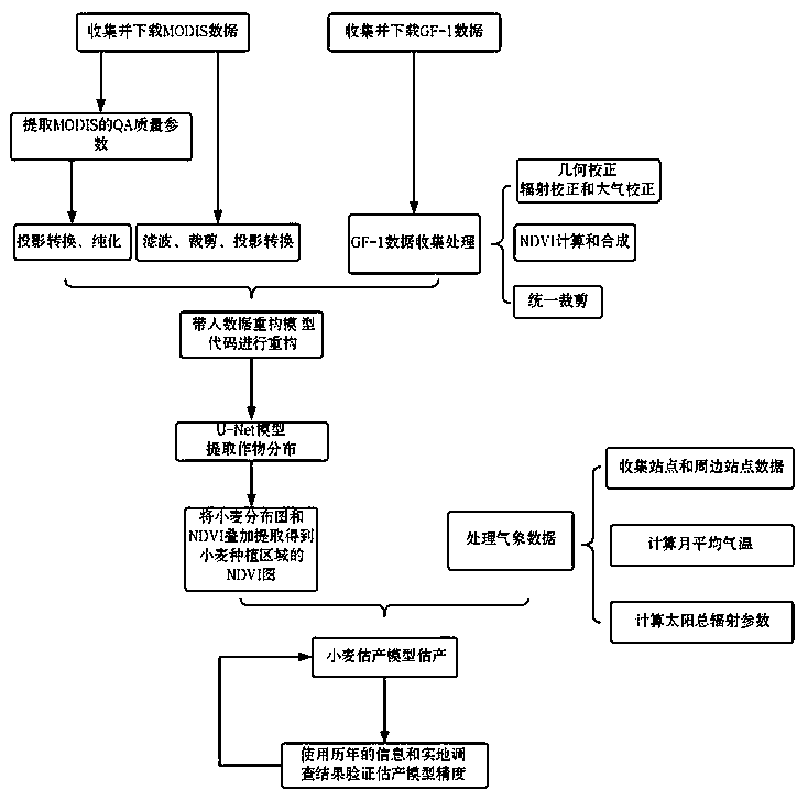
[0092] A method for estimating wheat yield per unit area remote sensing based on GF-1 data, when implemented, includes the following steps:
[0093] Step1: Collect and download time-series MODIS (NDVI 16-day synthetic product) data and GF-1 data (collect time-series data during the complete growth cycle of crops) in the study area
[0094] (1) Data introduction
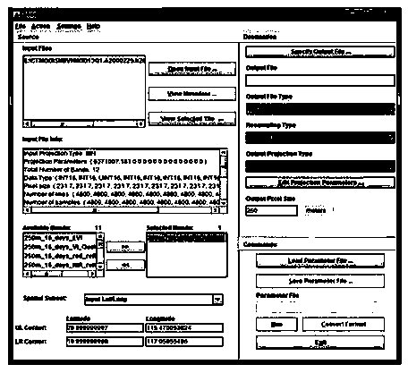
[0095] MODIS data is a medium-resolution sensor in NASA's Earth Observation Satellite Program. It uses 16-day synthetic NDVI data in EOS-Modis / Terra. The spatial resolution of the image is 250m, and the data format is HDF. It is the vegetation index product MOD13 in MODIS land products;
[0096] The download address of the data is:
[0097] https: / / lpda...
PUM
 Abstract
Description
Claims
Application Information