
Tracking vehicle locations in a parking lot for definitive display on a GUI
a technology for parking lots and vehicle positions, applied in navigation instruments, anti-theft devices, instruments, etc., can solve the problems of inefficient use of labor, lost vehicle sales, and lost revenue from locating vehicles, and achieve the cost of not accurately and quickly locating vehicles
- Summary
- Abstract
- Description
- Claims
- Application Information
AI Technical Summary
Benefits of technology
Problems solved by technology
Method used
Image

Examples
Embodiment Construction
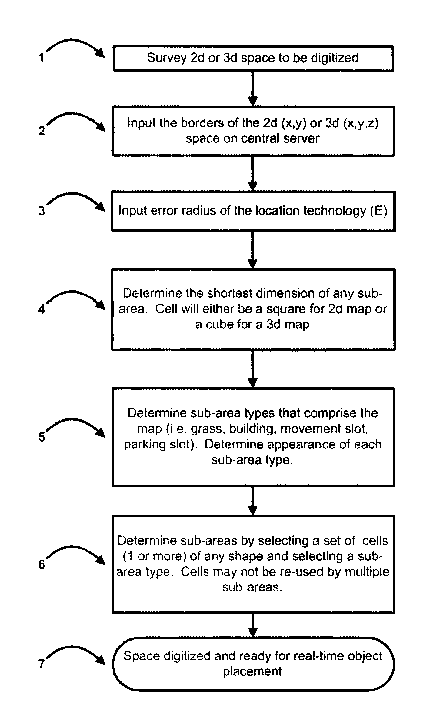
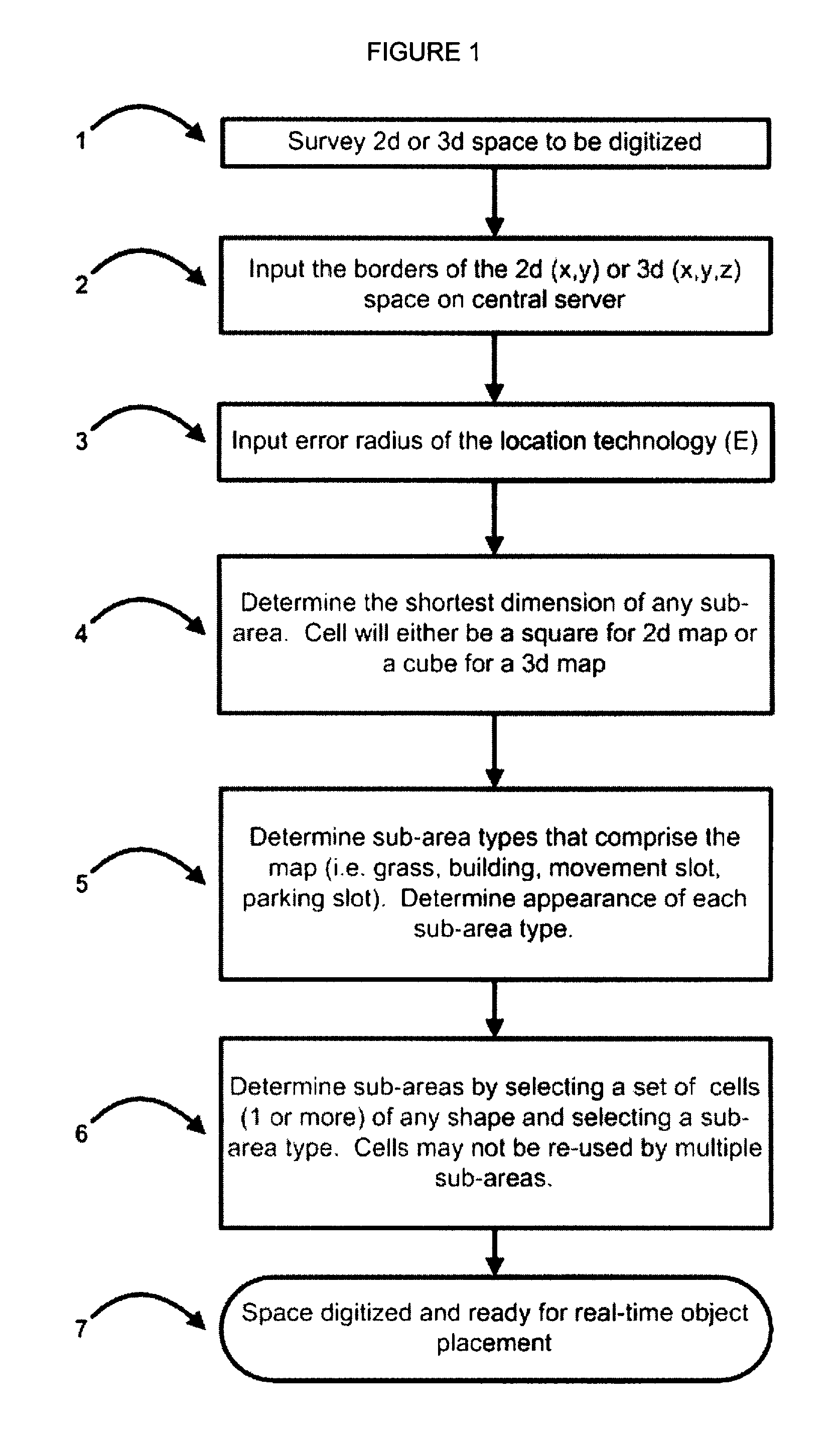
[0057]The implementation of the invention in this embodiment comprises two main stages: first, the configuration of overall lot area, sub-areas, lots and vehicles or mobile objects; and second, the placement of vehicles or mobile objects based on raw (x,y,z) coordinates as adjusted by business environment rules based on sub-area and mobile object compatibility, for definitive display on a screen at improved resolution.
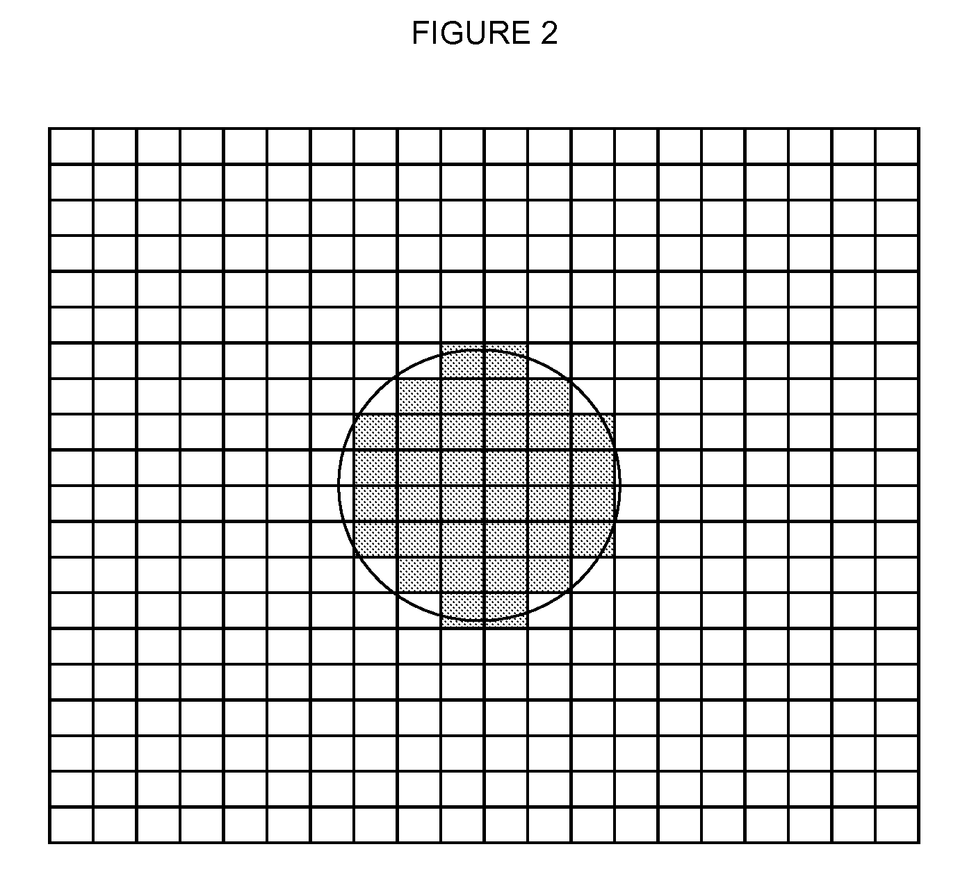
[0058]Firstly, as shown in FIG. 1, at step 1, the (2 or 3 dimensional) parking space to be digitized is surveyed. The borders of the space are then input on a central server at step 2. At step 3, the error radius E of the vehicle location technology is input. At step 4 the shortest dimension of any sub-area is input for determining minimum required individual cell size. (Cell will have square or cube shape for 2D or 3D map). At step 5, the various different physical types of the sub-areas are determined, (grass, building, movement slot, parking slot), together with the...
PUM
 Abstract
Description
Claims
Application Information