
Scanners, targets, and methods for surveying
a technology of scanning and target, applied in the direction of instruments, measuring devices, antennas, etc., can solve the problems of limited conventional methods and equipment for noninvasive scanning
- Summary
- Abstract
- Description
- Claims
- Application Information
AI Technical Summary
Benefits of technology
Problems solved by technology
Method used
Image

Examples
Embodiment Construction
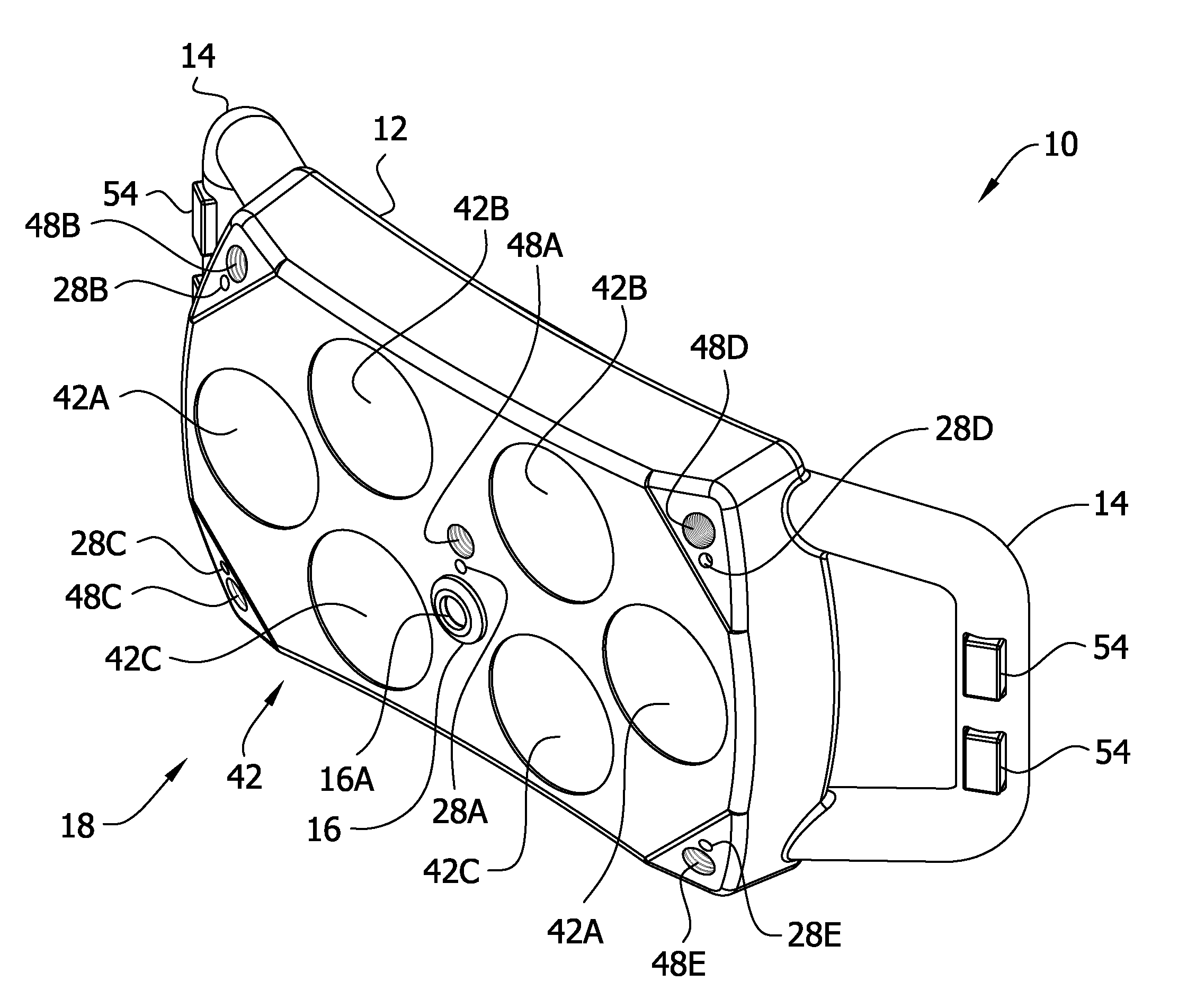
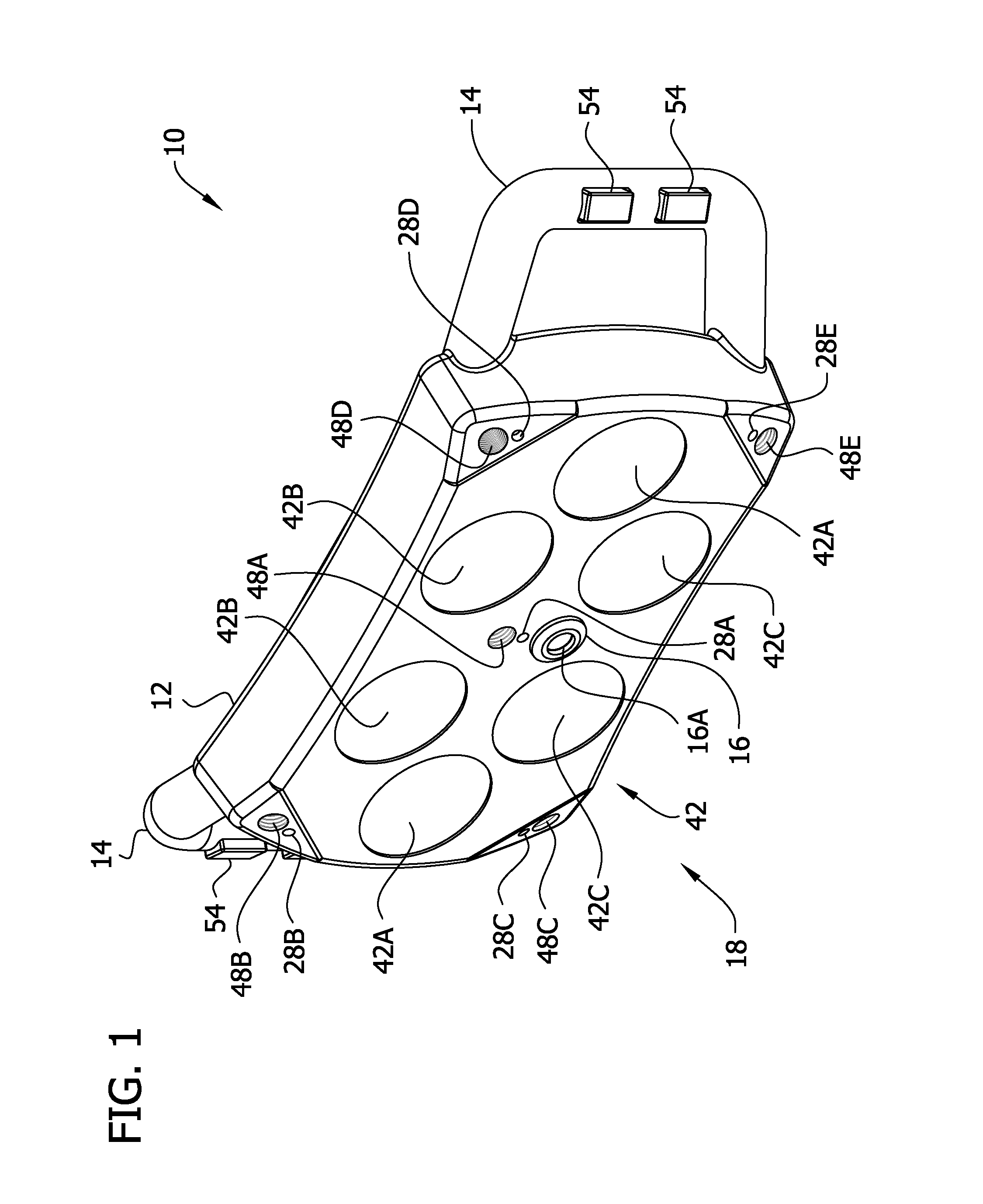
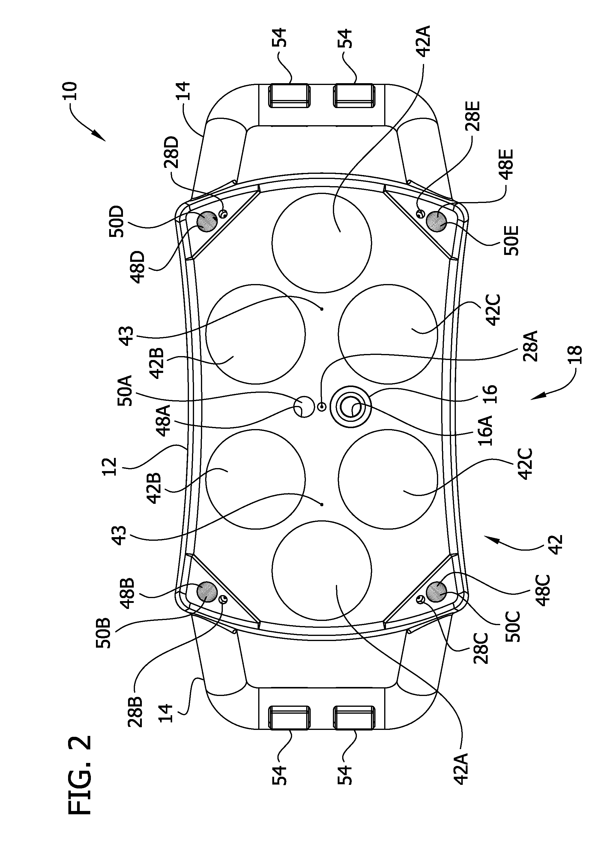
[0101]The present invention is generally directed to systems, apparatus, and methods associated with data acquisition, using acquired data for imaging or modeling, and / or use of an image or model for various purposes. Data acquisition may include collection of image data and optionally collection of position data associated with the image data. For example, the image data may be collected or captured using camera, radar, and / or other technologies. The position data may be derived from the image data and / or collected independently from the image data at the same time as or at a different time as the image data. For example, the position data may be acquired using lasers, electronic distance measuring devices, Global Positioning System (GPS) sensor technology, compasses, inclinometers, accelerometers, inertial measurement units and / or other devices. The position data may represent position of a device used to acquire the image data and / or position of representations in the image data....
PUM
 Abstract
Description
Claims
Application Information