

A Method of Determining Satellite Attitude Based on Visible Light Earth Sensor
An earth sensor and satellite attitude technology, which is applied in the field of satellite control, can solve the problems of time measurement accuracy and satellite attitude angle measurement accuracy, and achieve the effects of simple algorithm, good robustness and easy implementation.
- Summary
- Abstract
- Description
- Claims
- Application Information
AI Technical Summary
Problems solved by technology
Method used
Image

Examples
Embodiment Construction
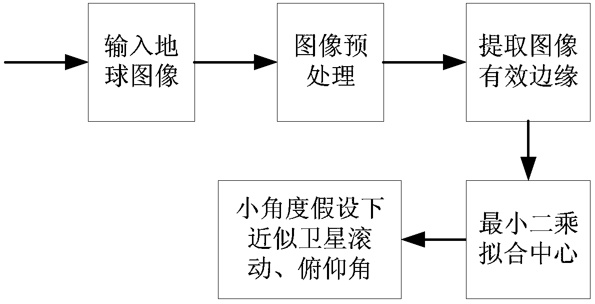
[0023] With the rapid development of miniaturized CMOS imaging devices, it not only provides a great possibility for the real use of the earth's visible light sensor, but also conforms to the development trend of satellites. The invention proposes a complete set of methods on how to determine the two-axis attitude of the satellite to the ground based on the visible light earth sensor.
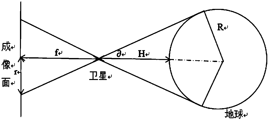
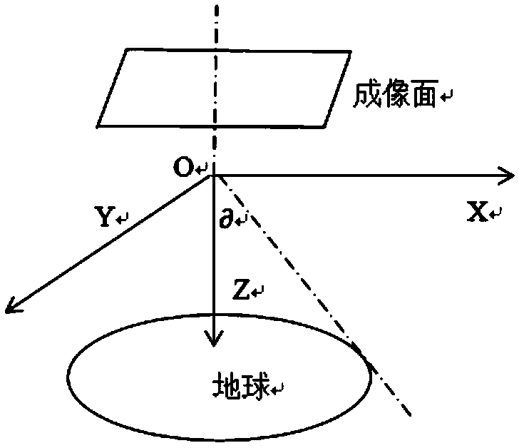
[0024] Such as figure 1 As shown in the flow process, the method of the present invention mainly includes the following steps: the first, the input image after the CMOS imaging device images the earth; the second, image preprocessing; the third, extracting the effective edge of the image; the fourth, applying least squares Fifth, under the assumption that the satellite's attitude angle to the ground is a small angle, the roll and pitch attitude angles of the satellite are approximately calculated according to the center of the effective edge. The above five steps are described in detail below....
PUM
 Abstract
Description
Claims
Application Information