A downscaling method for a soil water content product

A soil water content and downscaling technology, applied in the field of geographic surveying and mapping, can solve problems such as low spatial resolution and insufficient spatial representation of data sets, and achieve the effects of improving calculation accuracy, high accuracy, and easy establishment

Active Publication Date: 2017-03-15
中科卫星应用德清研究院 +1
View PDF5 Cites 14 Cited by
  • Summary
  • Abstract
  • Description
  • Claims
  • Application Information

AI Technical Summary

Problems solved by technology

[0006] The technical problem to be solved in the present invention is to provide a method for downscaling soil water content products, which can improve the spatial resolution of passive microwave soil water content data products, meet the application requirements of water resources and agricultural management at the watershed scale, and overcome the current soil water content. Insufficient spatial representation and low spatial resolution of water volume product datasets

Method used


Image

  • A downscaling method for a soil water content product
  • A downscaling method for a soil water content product
  • A downscaling method for a soil water content product

Examples


Embodiment Construction

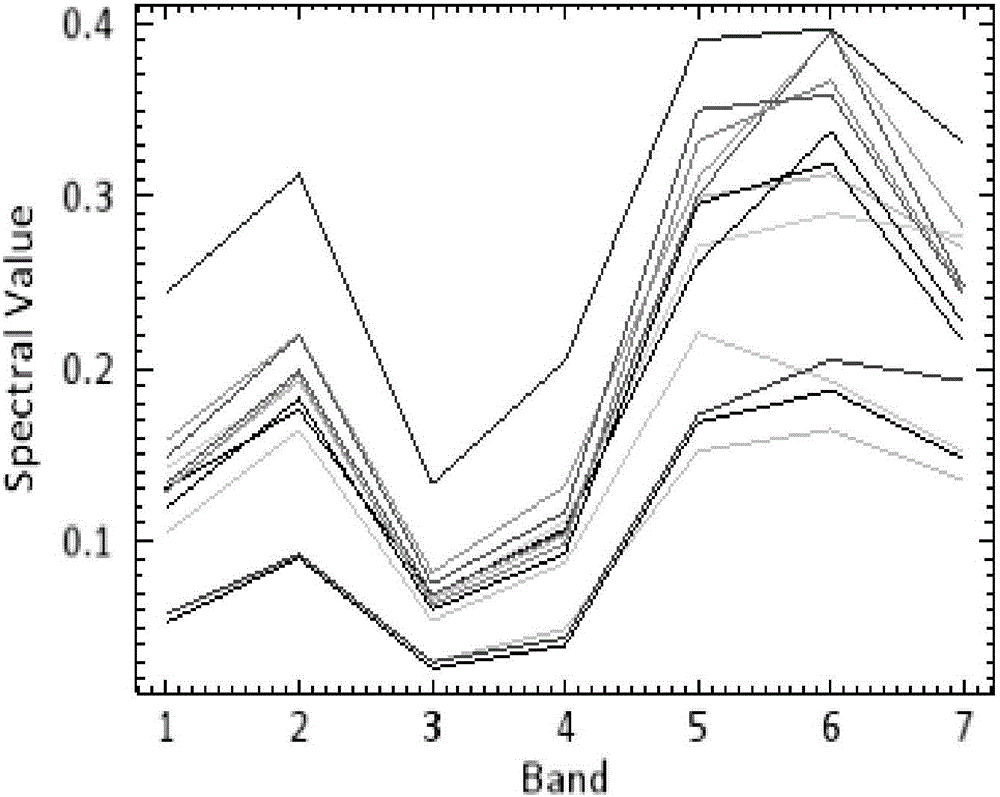
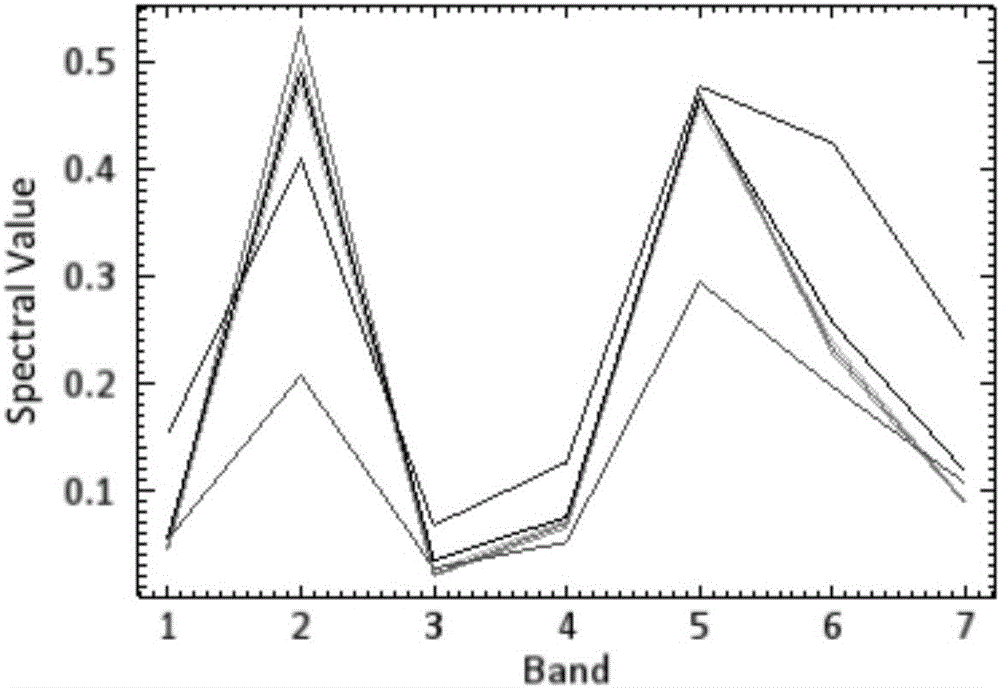
[0043]On the basis of the prior art, the present invention utilizes the reflectance spectrum characteristics of the soil, that is, the soil water content is an important factor affecting the soil spectral reflectance, and because the soil water content has very large temporal and spatial variability, the high spatial resolution Soil spectral information can better reflect the change characteristics of soil water content in the scope of time and space, so the present invention uses the quantitative relationship between the spectral characteristics of soil and soil water content to complete the downscaling research of soil water content, which is soil water content The high spatiotemporal resolution monitoring provides a new way of thinking.

[0044] In view of the advantages of passive microwave remote sensing in global soil moisture data acquisition, a feasible spatial downscaling model is created to gradually improve the spatial resolution of soil moisture data. Through the co...


PUM


Abstract

A downscaling method for a soil water content product is disclosed. The method includes A) acquiring passive microwave soil water content products of a region to be researched and optical remote sensing data at the same time, B) subjecting the optical remote sensing data to soil spectrum extraction based on a multiple endmember spectral mixture analysis process, C) building a model of a quantitative relation between soil spectrum reflection characteristics and soil water contents acquired from the passive microwave soil water content products by utilizing GA-PLS, and D) based on the model of the quantitative relation, building a soil water content downscaling model by utilizing the Taylor series expansion and acquiring soil water content data having a high spatial resolution. Advantages of passive microwave remote sensing data and optical remote sensing data on the temporal-spatial resolution are utilized in the method, and the passive microwave remote sensing data and the optical remote sensing data are effectively combined to acquire the soil water content data having the high spatial resolution, and therefore large-scale watershed scale region researching can be met, real-time or quasi real-time dynamic monitoring on watershed scale soil water contents is achieved, accuracy is high, building is easy and time and labor are saved.

Description

technical field [0001] The invention relates to the technical field of geographic surveying and mapping, in particular to a downscaling method for soil water content products. Background technique [0002] As one of the important indicators of climate and environmental drought, soil moisture content affects the physical and chemical properties of soil and the growth of vegetation, which in turn affects my country's grain production. At the same time, soil water content is an important part of surface energy balance and water cycle, and is an important monitoring factor in global change research. At present, various soil moisture data sets based on global observation site data are insufficient in the density and spatial representation of observation points, and the accuracy of simulation and forecast cannot meet the application requirements. [0003] Advanced Microwave Scanning Radiometer AMSR-2 (Advanced Microwave Scanning Radiometer for the Earth Observing System), soil mo...

Claims


Application Information

Patent Timeline
Patent Type & Authority Applications(China)
IPC IPC(8): G01N21/25G01N22/04
CPCG01N21/25G01N22/04
Inventor 张婷婷张雪飞邵芸
Owner 中科卫星应用德清研究院
Why Eureka
Try Eureka