An underwater terrain matching method based on textural feature and terrain feature parameters

A technology for underwater terrain matching and terrain features, applied in image data processing, instruments, navigation computing tools, etc., can solve problems such as low data accuracy and inability to achieve positioning effects

Inactive Publication Date: 2015-04-01
HARBIN ENG UNIV
View PDF1 Cites 16 Cited by
  • Summary
  • Abstract
  • Description
  • Claims
  • Application Information

AI Technical Summary

Problems solved by technology

However, because the data accuracy of underwater measurement is lower than that of aerial measurement, and the characteristics of underwater topography are different from land topo

Method used


Image

  • An underwater terrain matching method based on textural feature and terrain feature parameters
  • An underwater terrain matching method based on textural feature and terrain feature parameters
  • An underwater terrain matching method based on textural feature and terrain feature parameters

Examples


Embodiment

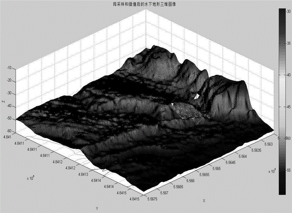
[0130] (1) Downsampling the original underwater terrain data to get figure 1 ;

[0131] (2) Calculate the gray level co-occurrence matrix of the measured area, and extract the texture feature parameters;

[0132] (3) Calculate the terrain characteristic parameters of the measured area;

[0133] (4) Multiply the texture feature parameters and terrain feature parameters of the measured area by the corresponding weights respectively, and combine them into feature vectors;

[0134] (5) Search the benchmark data matrix. For each search position, calculate its above-mentioned eigenvector, and compare it with the eigenvector of the measured data matrix to calculate the similarity. similarity value;

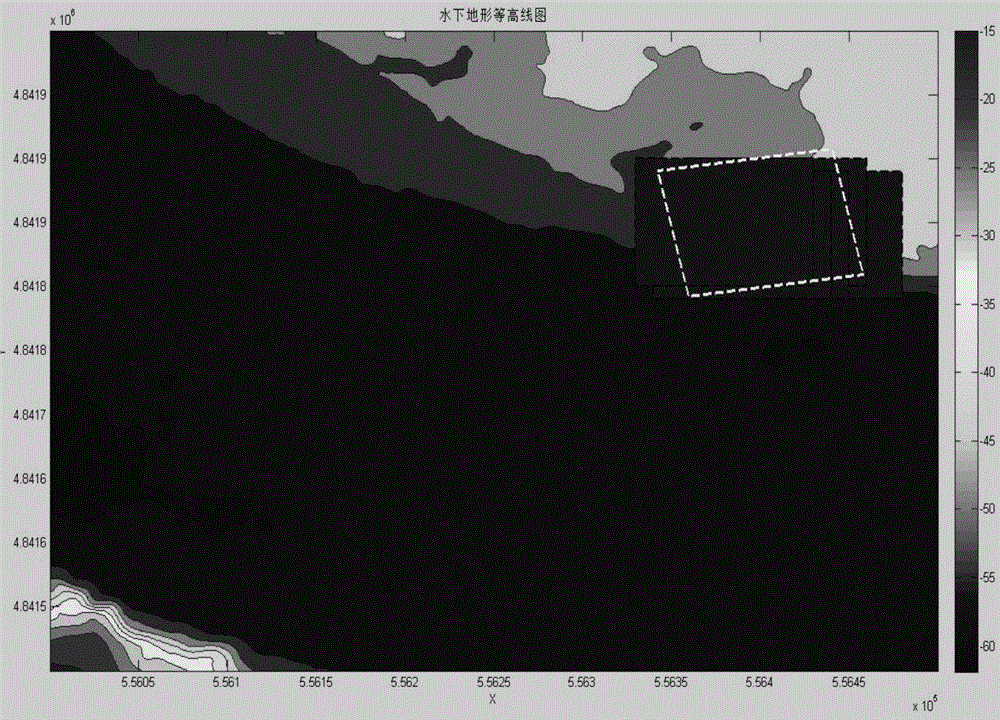
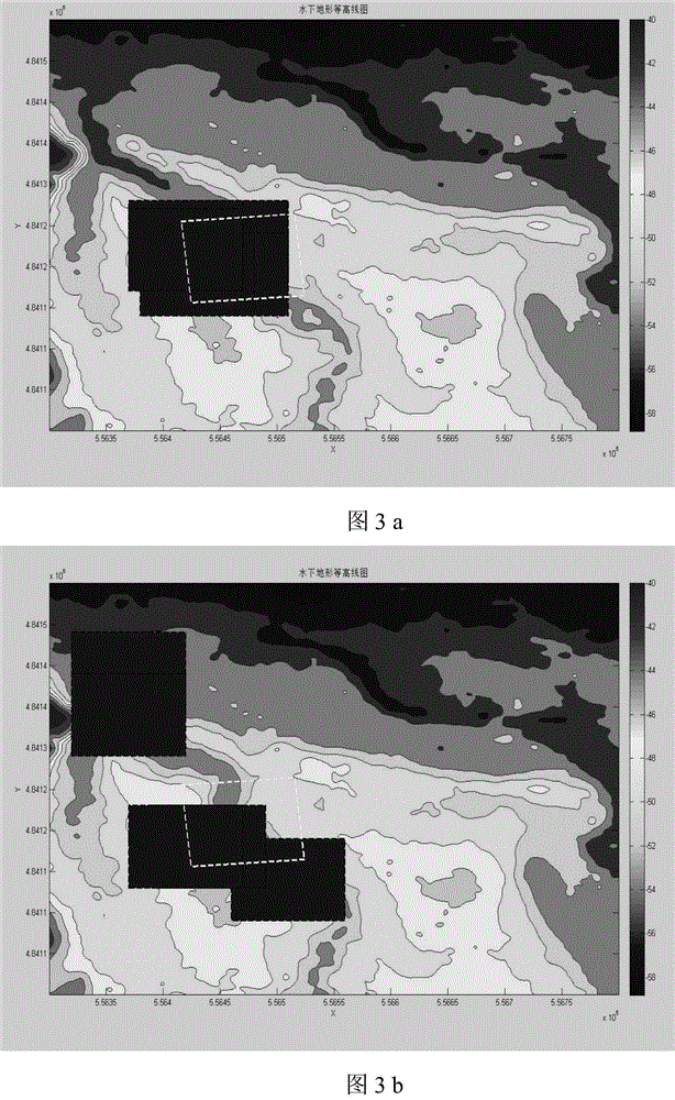
[0135] (6) After completing the search of the reference area, select the position with the largest similarity (that is, the smallest similarity function value) as the output matching position. According to the different position and size relationship between the measured area and the ...


PUM


Abstract

The invention relates to the digital image processing field, and specifically relates to an underwater terrain matching method based on textural feature and terrain feature parameters. The method comprises the followings steps: carrying out downsampling on actually-measured underwater terrain data and reference data; obtaining an actually-measured data matrix and a reference data matrix which are same in resolution; obtaining angular second moment, contrast, correlation and deficit moments; obtaining a terrain elevation average value, terrain elevation standard deviation, terrain roughness, terrain correlation coefficient, terrain entropy and terrain difference entropy; endowing weight for each feature parameter; keeping a similarity value of each searching position; and selecting the positions, of which the similarities are largest, that is, the similarity values are the smallest, as matching positions for outputting. According to the method, through carrying out downsampling on the actually-measured underwater terrain data and the underwater terrain reference data of a special area, the calculation cost is reduced, underwater measured data precision is improved, and moreover, the underwater terrain matching effect based on the textural feature and terrain feature parameters is achieved.

Description

technical field [0001] The invention relates to the field of digital image processing. Specifically, it is an underwater terrain matching method based on texture features and terrain feature parameters. Background technique [0002] With the continuous advancement of science and technology, underwater submersibles are developing in the direction of being able to perform large-depth and long-distance tasks, which puts forward higher requirements for underwater navigation technology. As the two most widely used navigation methods, the inertial navigation system and the ship position push method have their own shortcomings that are difficult to overcome, that is, the characteristics of positioning errors diverging with time. Therefore, they are not suitable for long-distance, long-term navigation tasks alone. [0003] The biggest advantage of the terrain-aided navigation system is that the error does not accumulate with the increase of time and distance. In addition, terrain...

Claims


Application Information

Patent Timeline
IPC IPC(8): G06T7/40G06T7/00G01C21/20
CPCG01C21/20G06T7/45G06T2207/30181
Inventor 卞红雨宋子奇张志刚梁世欣
Owner HARBIN ENG UNIV
Why Eureka
Try Eureka