Ground multiline three-dimensional laser radar point cloud data filtering method

A point cloud data and three-dimensional laser technology, applied in the field of filtering, can solve the problems of unsuitable multi-line lidar point cloud data processing, inability to use filtering methods, dense sampling points, etc., to achieve fast calculation speed, solution separation, and simple implementation Effect

Inactive Publication Date: 2016-02-24
BEIJING AUTOMATION CONTROL EQUIP INST
View PDF3 Cites 20 Cited by
  • Summary
  • Abstract
  • Description
  • Claims
  • Application Information

AI Technical Summary

Problems solved by technology

This is because, first, the multi-line laser radar used on the ground is multi-beam scanning, which is mainly used in the fields of obstacle detection and high-speed surveying and mapping of buildings. , the accuracy required for data classification is also higher; second, airborne lidar generally scans with a single beam and is far away from the target point, and the acquired laser footpoints are sparsely distributed in a large area Objects are mainly roof points), while the ground multi-line lidar obtains the geometric information of the three-dimensional object facade, and the sampling points are relatively dense, which cannot be processed by traditional filtering methods.
Therefore, the filtering and classification of ground multi-line lidar data cannot directly follow the airborne lidar data processing method.
[0004] In addition, some literatures have proposed a scanning line-based filtering algorithm for vehicle-mounted lidar, but this method is aimed at single-line lidar, and the processed scan lines are vertical scan lines evenly distributed in columns, which is not suitable for scanning Processing of multi-line lidar point cloud data with non-uniform distribution of lines by column

Method used


Image

  • Ground multiline three-dimensional laser radar point cloud data filtering method
  • Ground multiline three-dimensional laser radar point cloud data filtering method
  • Ground multiline three-dimensional laser radar point cloud data filtering method

Examples


Embodiment Construction

[0024] Below in conjunction with accompanying drawing, the present invention will be further described:

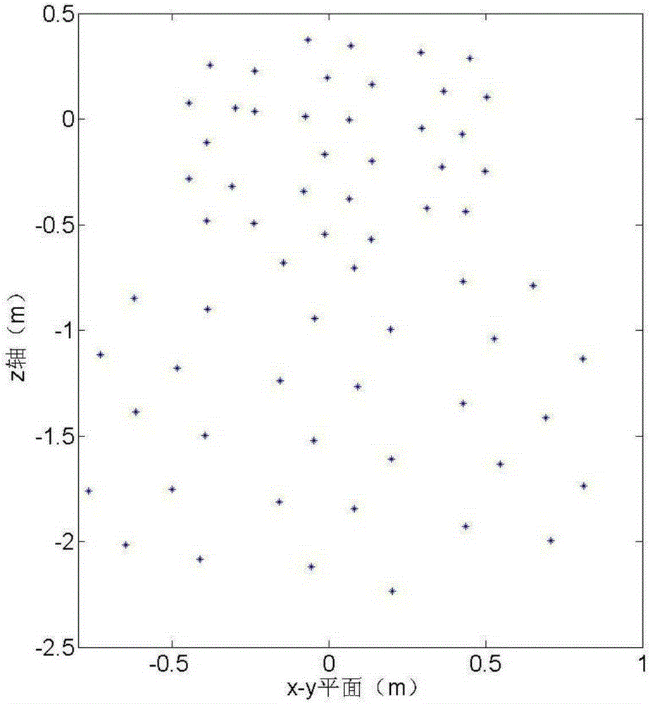
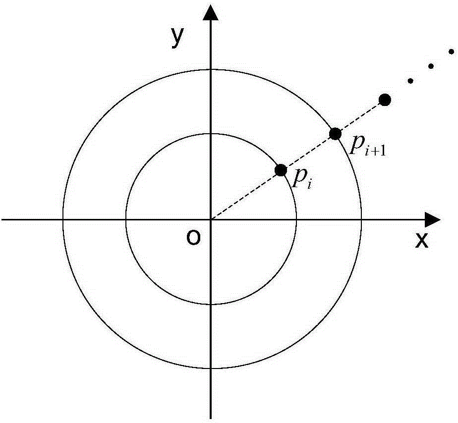
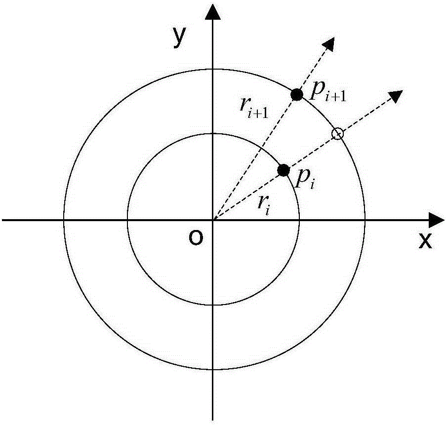
[0025] The present invention is divided into two steps altogether. Firstly, it involves the filtering method based on surface fitting to filter out relatively flat ground points, taking the 64-line laser radar on the ground as an example to illustrate. The 64-line laser radar arranges 64 laser beams in the vertical direction, so there are 64 laser foot points corresponding to each horizontal rotation angle, and the laser foot points are unevenly distributed, as shown in the attached figure 1 shown. Define a frame of data as the point cloud data obtained by scanning 360° in the horizontal direction of the lidar. Generally speaking, the ground point is the lowest point of elevation, so for a frame of data, find the lowest point of 64 laser foot points corresponding to each horizontal rotation angle, compare these lowest points, and the elevation difference is greater than ...


PUM


Abstract

The present invention belongs to a filtering method and particularly relates to a ground multiline three-dimensional laser radar point cloud data filtering method. The method comprises: 1, establishing a ground curve surface equation, i.e. firstly, determining a ground point, then establishing the ground curve surface equation, and finally, fitting relevant parameters to obtain the ground curve surface equation; and 2, filtering out a misjudgement point. The ground multiline three-dimensional laser radar point cloud data filtering method has the effects that the ground multiline three-dimensional laser radar point cloud data filtering method is simple in implementation, is fast in operation speed, overcomes a limitation of a conventional airborne laser radar and ground single-line laser radar point cloud filtering method, and effectively solves the problem of separation between the ground point and a non-ground point of ground multiline laser radar point cloud data; and a filtering effect of the point cloud data is improved.

Description

technical field [0001] The invention belongs to a filtering method, and in particular relates to a filtering method for multi-line three-dimensional laser radar point cloud data used on the ground. Background technique [0002] Since the ground multi-line 3D laser radar can acquire high-density 3D point cloud data of the target object in a relatively short period of time, obtain the depth information of the target, and has the advantages of fast measurement speed, high precision, and direct acquisition of surrounding environment information, so it is especially suitable In the fields of intelligent vehicle navigation and robot vision, it provides obstacle information for intelligent vehicles or robots. The filtering method of point cloud data is one of the key technologies in the research of terrestrial 3D lidar point cloud data processing. The filtering of point cloud data refers to the accurate and rapid separation of the original point cloud data into ground points and n...

Claims


Application Information

Patent Timeline
Patent Type & Authority Applications(China)
IPC IPC(8): G06T5/10
CPCG06T5/10G06T2207/10044
Inventor 郁肖飞郝鹏刘栋苏豆荣社李晗时兆峰李新纯
Owner BEIJING AUTOMATION CONTROL EQUIP INST
Why Eureka
Try Eureka