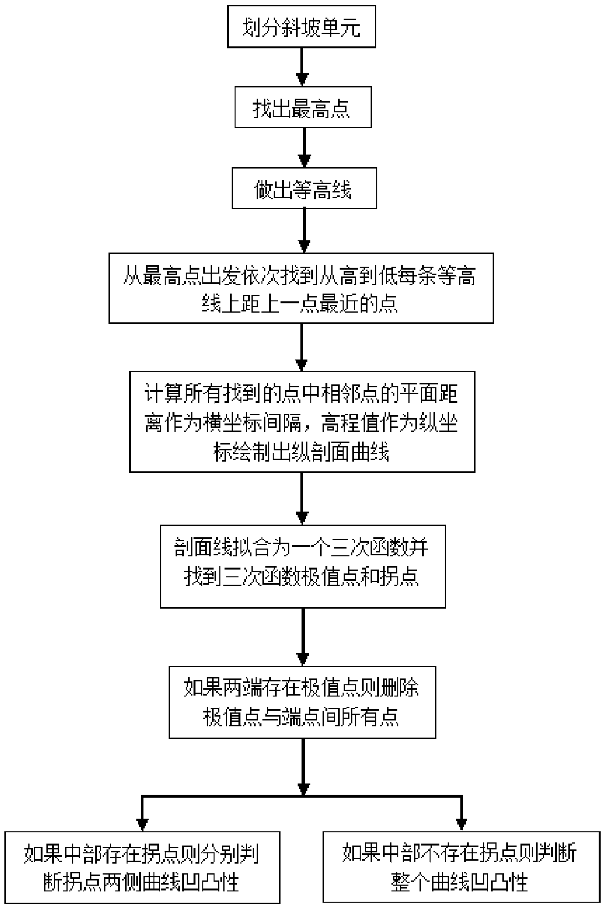
A Method of Slope Shape Extraction and Recognition Based on Digital Elevation Model
A digital elevation model and identification method technology, applied in the field of geographic information, can solve the problem of inability to accurately quantify and calculate uncertain factors, and achieve the effect of accurate final identification results and accurate slope distribution results.
- Summary
- Abstract
- Description
- Claims
- Application Information
AI Technical Summary
Problems solved by technology
Method used
Image
Examples
Embodiment Construction
[0026] The specific implementation methods of the present invention will be further described below with reference to the drawings and embodiments, but it should not be understood that the scope of the present invention is limited to the following embodiments. Without departing from the above-mentioned method of the present invention, various substitutions and changes based on common technical knowledge and conventional means in the field shall be included in the protection scope of the present invention.
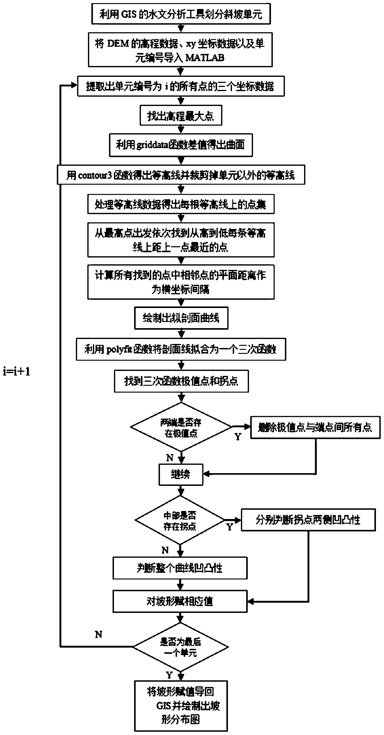
[0027] Such as figure 2 As shown, it is a computer program flowchart woven using the implementation method of the present invention. The specific implementation steps include:
[0028] (1) Use the hydrological analysis tools in the GIS software to extract the watershed and watershed of the normal terrain and the inverse terrain respectively, and then merge the generated catchment basin with the reverse catchment basin, and then modify it to be unreasonable. , And finally get th...
PUM
 Abstract
Description
Claims
Application Information
 - R&D
- Intellectual Property
- Life Sciences
- Materials
- Tech Scout
- Unparalleled Data Quality
- Higher Quality Content
- 60% Fewer Hallucinations
Browse by: Latest US Patents, China's latest patents, Technical Efficacy Thesaurus, Application Domain, Technology Topic, Popular Technical Reports.
© 2025 PatSnap. All rights reserved.Legal|Privacy policy|Modern Slavery Act Transparency Statement|Sitemap|About US| Contact US: help@patsnap.com


