Urban greenhouse gas emission space source apportionment method

A technology of greenhouse gas and emission space, applied in the field of geographic information technology, interdisciplinary climate change science, and urban and rural planning, can solve problems such as difficult to reflect the influencing factors of greenhouse gas emissions

CN103714507AInactive Publication Date: 2014-04-09INST OF URBAN ENVIRONMENT CHINESE ACAD OF SCI
5 Cites 7 Cited by

Patent Information

Authority / Receiving Office
CN · China
Patent Type
Applications(China)
Current Assignee / Owner
Publication Date
2014-04-09
Estimated Expiration
Not applicable · inactive patent

Smart Images

  • Figure 1
    Figure 1
  • Figure 2
    Figure 2
  • Figure 3
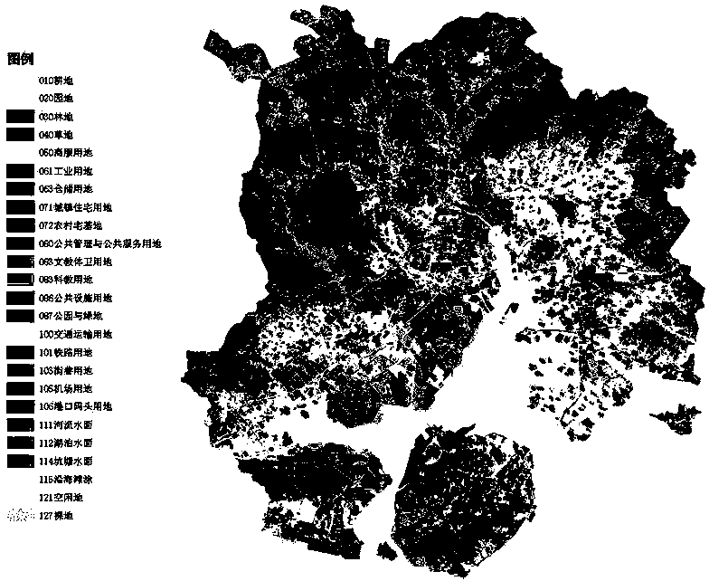
    Figure 3
Patent Text Reader

Abstract

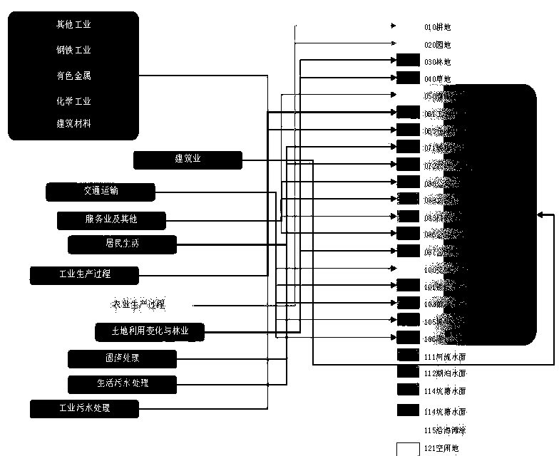
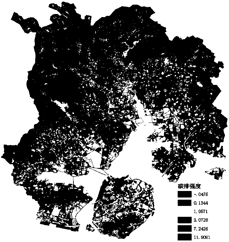
An urban greenhouse gas emission space source apportionment method comprises the steps that a, an urban greenhouse gas emission list is compiled by combing existing greenhouse gas list compiling specifications; b, a digitized urban and rural land classification vector diagram is obtained and made in multiple methods, and is introduced in a geographic information system; c, according to greenhouse gas emission sources, the corresponding relation between a greenhouse gas list and land classifications is built; d, the greenhouse gas list and the land classifications are classified, combined and redistributed, and space visual drawing is conducted in the geographic information system. The urban greenhouse gas emission space source apportionment method starts from the causal relation between land types and the greenhouse gas emission list, achieves spatialization of the urban greenhouse gas emission list, is beneficial to scientific cognition of spatial distribution and influence factors of greenhouse gas emission, and provides scientific support for optimization of the urban spatial structure and for greenhouse gas emission reduction.
Need to check novelty before this filing date? Find Prior Art

Description

technical field

[0001] The method belongs to the interdisciplinary technical field of urban and rural planning, geographic information technology and climate change science. Background technique

[0002] Controlling greenhouse gas emissions is an important task to actively respond to global climate change, and it is also an inevitable requirement to accelerate the transformation of economic development mode and promote industrial transformation and upgrading. The National Development and Reform Commission launched low-carbon provinces and low-carbon city pilots and the preparation of provincial-level greenhouse gas emission inventories, and released the "Guidelines for the Preparation of Provincial Greenhouse Gas Emission Inventories (Trial)" in May 2011. At present, Shenzhen, Xiamen and other cities have launched the compilation of urban greenhouse gas emission inventories. On the other hand, it has become the consensus of urban and rural planning circles to introduce clim...

Examples

Embodiment Construction

[0018] The present invention takes the spatialization of the greenhouse gas emission inventory of Xiamen City as an example to illustrate the implementation of the spatialization method of the urban greenhouse gas emission inventory. Specifically, it includes the following steps:

[0019] a. To compile the greenhouse gas emission inventory of Xiamen City, the method adopted refers to the "2006 IPCC Guidelines for National Greenhouse Gas Inventories" and "Guidelines for the Preparation of Provincial Greenhouse Gas Inventories". The items of the compiled greenhouse gas inventories are shown in Table 2.

[0020] b. Obtain the vector map of urban and rural land use classification. Refer to the "Classification of Land Use Status" (GB / T 21010-2007) and "Urban Land Use Classification and Planning and Construction Land Standards" (GB 50137-2011), obtain digital land use maps through various channels and import them into the geographic information system software ArcGIS, For land use ...