Landsat8 and MODIS fusion-construction high space-time resolution data identification autumn grain crop method

A spatiotemporal resolution, data recognition technology, applied in character and pattern recognition, instruments, computer parts, etc., can solve problems such as difficulties in remote sensing image data, limitation of remote sensing data acquisition, etc., and achieve the effect of high recognition accuracy

Active Publication Date: 2015-09-16
BEIJING NORMAL UNIVERSITY
View PDF3 Cites 27 Cited by
  • Summary
  • Abstract
  • Description
  • Claims
  • Application Information

AI Technical Summary

Problems solved by technology

However, the time resolution of the satellite will limit the acquisition of remote sensing data during the critical period of vegetation growth. In addition, the rainy season in my country overlaps with the growth period of autumn grain crops, which makes it possible to obtain high-quality remote sensing image data during the critical period of crop growth (cloud amount <10 %) very difficult (acquisition probability < 10%)

Method used


Image

  • Landsat8 and MODIS fusion-construction high space-time resolution data identification autumn grain crop method
  • Landsat8 and MODIS fusion-construction high space-time resolution data identification autumn grain crop method
  • Landsat8 and MODIS fusion-construction high space-time resolution data identification autumn grain crop method

Examples


Embodiment Construction

[0036] In order to make it easier for those skilled in the art to understand and implement the present invention, the present invention will be further described in detail below in conjunction with the accompanying drawings and specific embodiments.

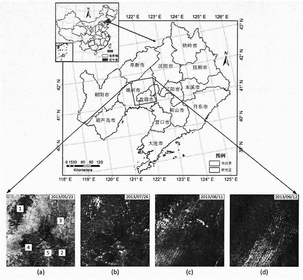
[0037] Such as figure 1 As shown, the method disclosed by the present invention for the fusion of Landsat8 and MODIS to construct high temporal and spatial resolution data for identifying autumn grain crops combines the respective advantages of MODIS data and medium and high-resolution data for autumn grain crop identification.

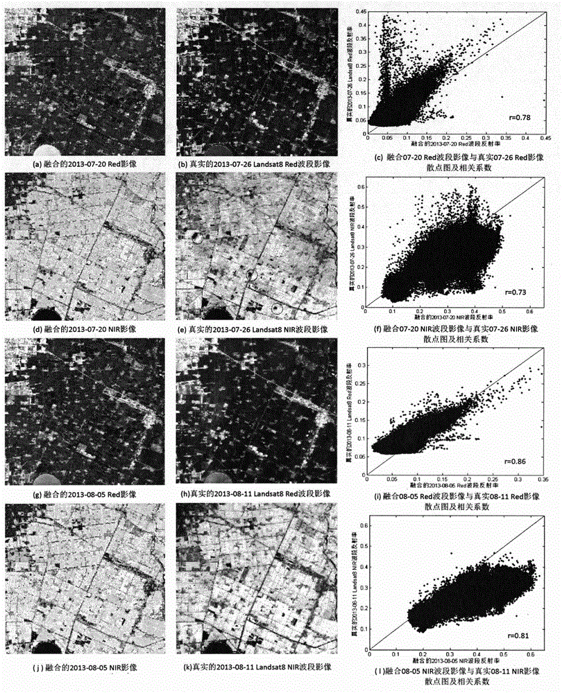
[0038] Combining MODIS data and Landsat data to construct high-temporal-spatial remote sensing data is an effective way to combine the advantages of both. In recent years, domestic and foreign scholars have proposed several fusion methods of high temporal resolution data and high spatial resolution data to construct high temporal and spatial resolution remote sensing data and apply them to different resear...


PUM


Abstract

The invention discloses a Landsat8 and MODIS fusion-construction high space-time resolution data identification autumn grain crop method. The method mainly comprises the following steps of carrying out data preparation; carrying out data preprocessing; using a STDFA model to construct data; carrying out data filtering processing; carrying out autumn grain crop identification characteristic vector selection; carrying out autumn grain crop identification characteristic combination and carrying out SVM classification to acquire an identification result. By using the method in the invention, autumn grain crop types can be effectively distinguished; a problem that high resolution data is insufficient during an autumn grain crop identification process can be solved to some extent. According to an experiment result, each precision of the autumn grain crop identification reaches high identification precision and a situation that phenological data contributes to the autumn grain crop identification is verified to some extent.

Description

technical field [0001] The invention relates to a method for constructing remote sensing image data with high temporal and spatial resolution by using a spatial-temporal data fusion method (Spatial Temporal Data Fusion Approach, STDFA). Based on this, a classification data set is constructed, and then the method of identifying autumn grain crops using Support Vector Machine (SVM) is used to verify the applicability of data sets of different dimensions for autumn grain crop identification. It belongs to the application field of remote sensing images. Background technique [0002] Autumn grain crops are an important part of my country's grain crops. Accurately obtaining the planting area of ​​autumn grain crops is of great significance for the formulation of agricultural policies and management. The use of remote sensing technology for agricultural monitoring is an important application direction, which plays an important role in area monitoring and remote sensing yield estim...

Claims


Application Information

Patent Timeline
Patent Type & Authority Applications(China)
IPC IPC(8): G06K9/62
Inventor 张锦水潘耀忠谢登峰孙佩军袁周米琪
Owner BEIJING NORMAL UNIVERSITY
Why Eureka
Try Eureka