Cloud map land-viewing method and terminal serving field of village revival
A field and cloud map technology, applied in the field of cloud map viewing, can solve the problems of difficult management, time-consuming labor, clutter and disorder of rural land, etc., and achieve the effect of reasonable land resources and reasonable revitalization.
- Summary
- Abstract
- Description
- Claims
- Application Information
AI Technical Summary
Problems solved by technology
Method used
Image
Examples
Embodiment 1
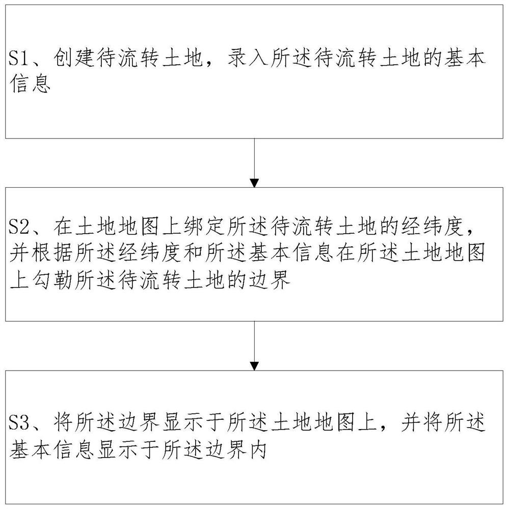
[0055] Please refer to figure 1 As shown in Fig. 1, a method of cloud-map viewing that serves the field of rural revitalization includes:
[0056] S1. Create the land to be transferred, and enter the basic information of the land to be transferred;
[0057] S2. Bind the latitude and longitude of the land to be transferred on the land map, and outline the boundary of the land to be transferred on the land map according to the latitude and longitude and the basic information;
[0058] S3. Display the boundary on the land map, and display the basic information within the boundary.
[0059] Wherein, the basic information includes: location, land type, area, circulation period, circulation method, payment method, expected price, pictures, land profile and seller's contact information.
[0060] Wherein, binding the latitude and longitude of the land to be transferred on the land map in S2 includes:
[0061]Bind the latitude and longitude of the land to be transferred on the land ...
Embodiment 2
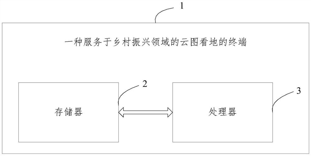
[0070] Please refer to figure 2 , a terminal 1 serving the field of rural revitalization, including a memory 2, a processor 3, and a computer program stored in the memory 2 and operable on the processor 3, and the processor 3 executes the computer The steps in the first embodiment are realized during the program.
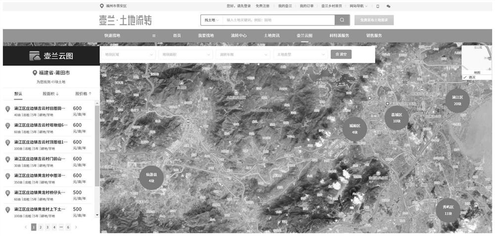
[0071] To sum up, the terminal provided by the present invention serves the field of rural revitalization as a cloud image viewing method terminal. Through the present invention, the location, boundary, shape, size and basic information of the land to be transferred can be displayed on the land map, solving the problem of It solves the problem of spending a lot of manpower and time costs in the process of land search, viewing, and transaction in the land transfer business, realizes a reasonable utilization of land resources, and helps rural revitalization.
PUM
 Abstract
Description
Claims
Application Information
 - R&D
- Intellectual Property
- Life Sciences
- Materials
- Tech Scout
- Unparalleled Data Quality
- Higher Quality Content
- 60% Fewer Hallucinations
Browse by: Latest US Patents, China's latest patents, Technical Efficacy Thesaurus, Application Domain, Technology Topic, Popular Technical Reports.
© 2025 PatSnap. All rights reserved.Legal|Privacy policy|Modern Slavery Act Transparency Statement|Sitemap|About US| Contact US: help@patsnap.com


