

Remote sensing information sample selection method and system
A sample and remote sensing technology, applied in the computer field, can solve the problems of long sample selection time and low accuracy, and achieve the effect of improving sample selection efficiency and accuracy reliability.
- Summary
- Abstract
- Description
- Claims
- Application Information
AI Technical Summary
Problems solved by technology
Method used
Image

Examples
Embodiment Construction
[0024] In order to make the purpose, technical solutions and advantages of the present invention clearer, the technical solutions in the present invention will be clearly and completely described below in conjunction with the accompanying drawings in the present invention. Obviously, the described embodiments are part of the embodiments of the present invention , but not all examples. Based on the embodiments of the present invention, all other embodiments obtained by persons of ordinary skill in the art without creative efforts fall within the protection scope of the present invention.
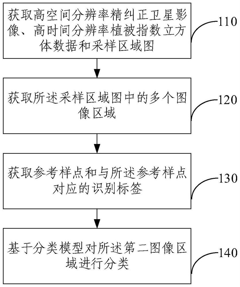
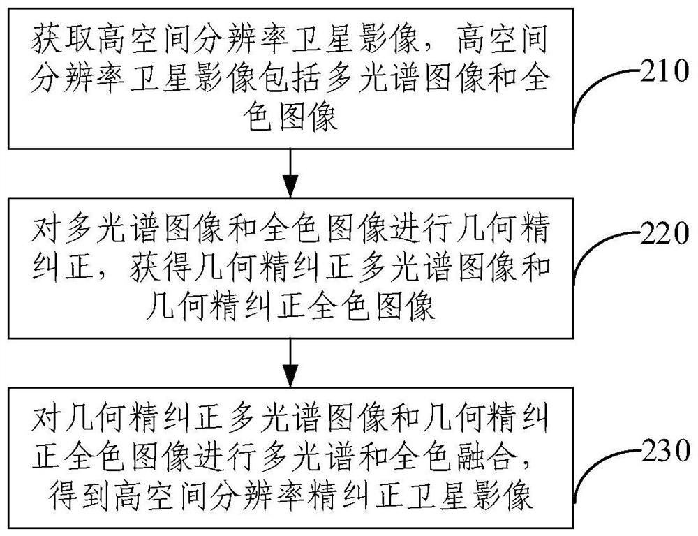
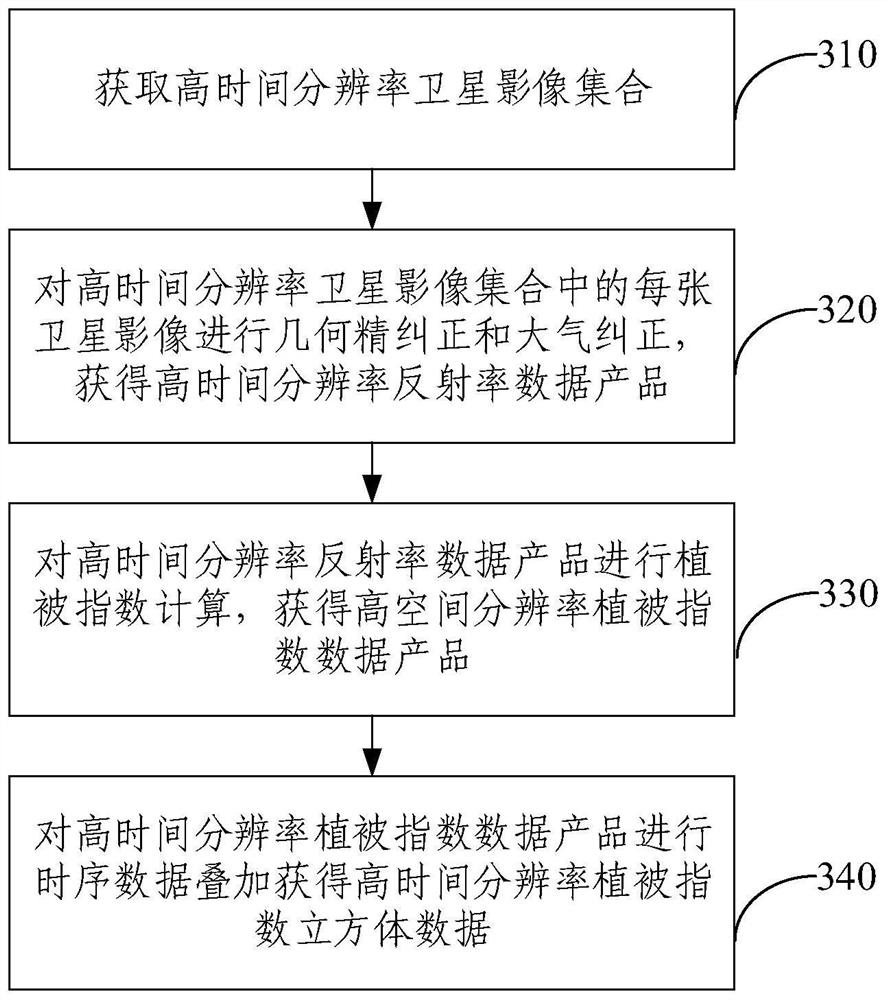
[0025] A large amount of sample data is a necessary input condition for artificial intelligence image recognition in various fields. Sample annotation is a work that requires a lot of time investment and long-term accumulation. With the rapid development of artificial intelligence in recent years, in major application fields such as medicine, autonomous driving, and face recognition, a large...
PUM
 Abstract
Description
Claims
Application Information