

Method and apparatus of taking aerial surveys
a technology of aerial survey and aerial surveying, which is applied in the field of aerial surveying methods, can solve the problems of labor-intensive photogrammetry, and all the prior art approaches are computation-intensive, and achieve the effect of not requiring extensive data collection or computation
- Summary
- Abstract
- Description
- Claims
- Application Information
AI Technical Summary
Benefits of technology
Problems solved by technology
Method used
Image

Examples
Embodiment Construction
[0007]A portion of the disclosure of this patent document contains material which is subject to copyright protection. The copyright owner has no objection to the facsimile reproduction by anyone of the patent document or the patent disclosure, as it appears in the Patent and Trademark Office patent files and records, but otherwise reserves all copyrights whatsoever.
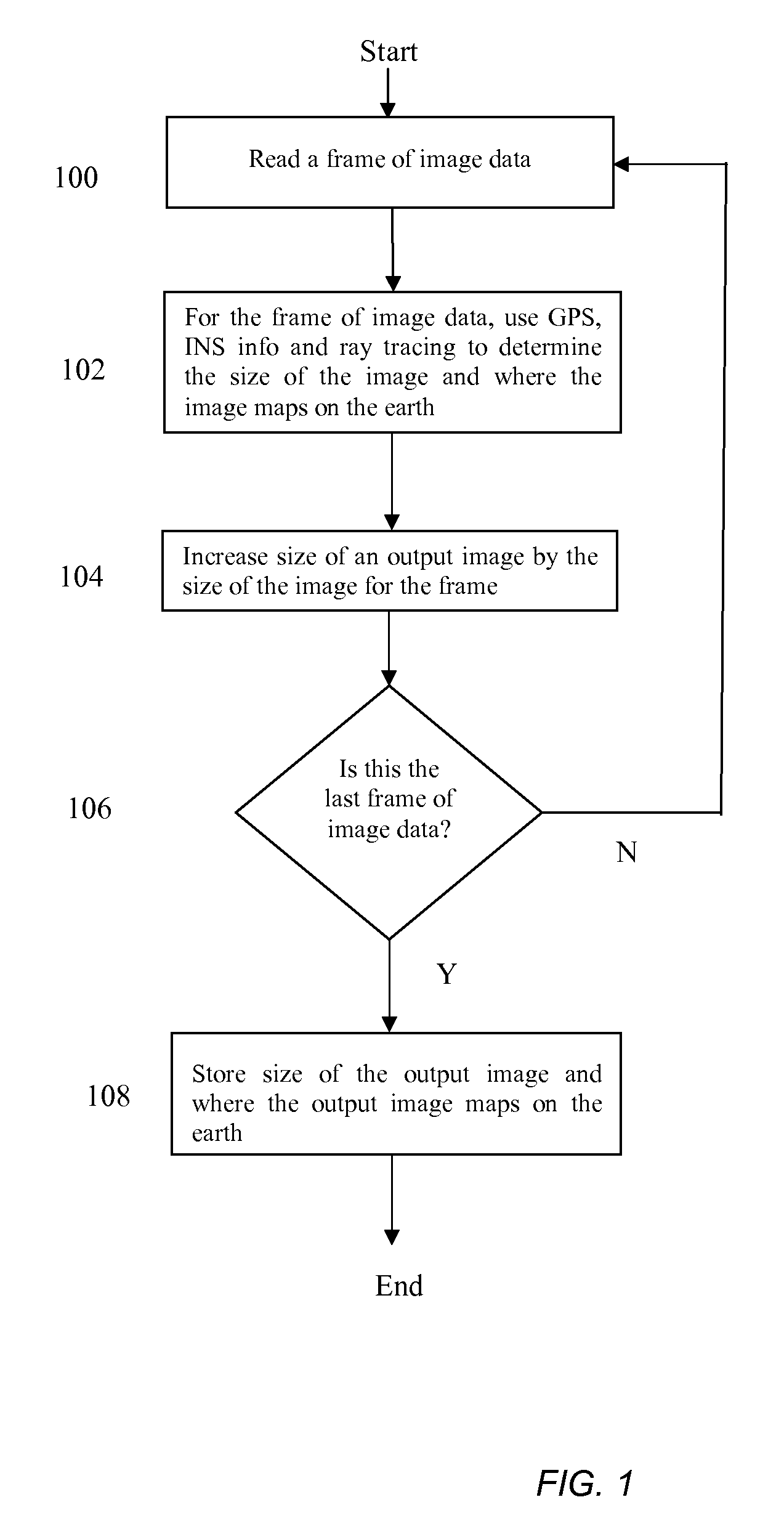
[0008]In illustrative embodiments, a method merges overlapping imagery data collected during an aerial survey into an overall mosaic of the images to provide useful, integrated information to an image viewer rapidly and without extensive data collection or computation.
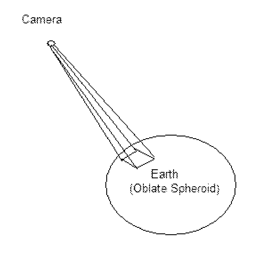
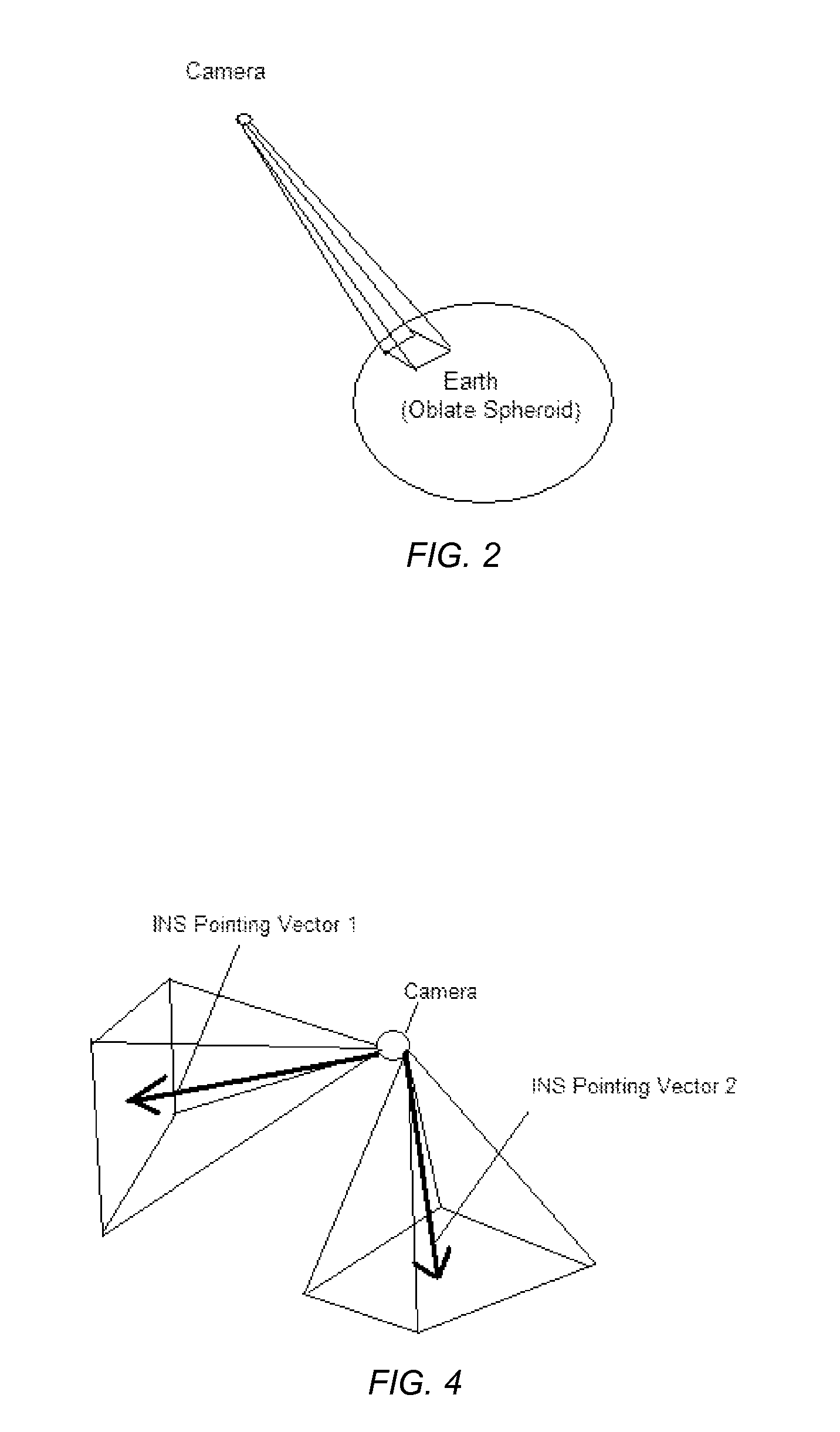
[0009]To those ends, in various embodiments of the invention, aerial reconnaissance either manned or unmanned may collect the image data over an area of interest along with the supporting numerical Global Positioning System (GPS), Inertial Navigation System (INS) and camera angle data. The mosaics of smaller images provide the viewer with a comprehensive, in...
PUM
 Abstract
Description
Claims
Application Information