Unlock instant, AI-driven research and patent intelligence for your innovation.

Urban road network intersection congestion recognition method based on floating car data grid mapping

A technology of floating car data and urban road network, which is applied in the field of urban road network intersection congestion identification based on floating car data grid mapping, to achieve the effect of alleviating congestion problems and efficient identification methods

Active Publication Date: 2018-12-18
BEIJING UNIV OF TECH
View PDF6 Cites 5 Cited by
  • Summary
  • Abstract
  • Description
  • Claims
  • Application Information

AI Technical Summary

Problems solved by technology

[0006] Although these maps can be used to generate road networks and intersections through inference and reconstruction methods, few people have considered the combination of map reconstruction and traffic situation deduction in road networks, that is, the two are separated, and the floating car data is used to generate maps first. , but further analysis of road network traffic conditions still needs to match the floating car data with the map

Method used


Image

  • Urban road network intersection congestion recognition method based on floating car data grid mapping
  • Urban road network intersection congestion recognition method based on floating car data grid mapping
  • Urban road network intersection congestion recognition method based on floating car data grid mapping

Examples


Embodiment Construction

[0072] Preferred embodiments of the present invention will be described in detail below in conjunction with the accompanying drawings.

[0073] This embodiment is based on floating car data, extracts useful information from massive historical data and real-time data, determines the location of the intersection and identifies the congestion at the intersection through the time-space aggregation of a large amount of trajectory data, and provides road traffic control for traffic signal control, traffic guidance, etc. provide a basis for the implementation of the measures.

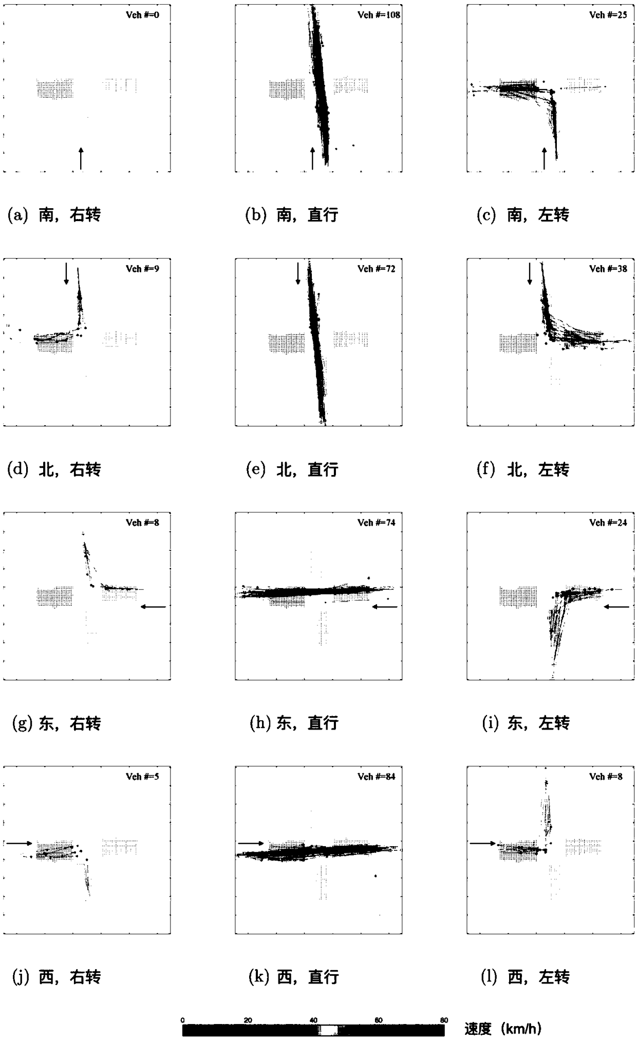
[0074] like figure 2 As shown, this embodiment selects the area between the Second Ring Road and the Third Ring Road in the west of Beijing to demonstrate the urban road network intersection congestion identification method based on floating car data grid mapping.

[0075] figure 1 A method for identifying congestion at urban road network intersections based on floating car data grid mapping, including the ...


PUM


Abstract

The invention discloses an urban road network intersection congestion recognition method based on floating car data grid mapping. Firstly, an urban space area is divided into a grid, and low frequencyfloating car data is used for identifying a grid corresponding to each intersection. By mapping the floating car data to the grid, the M2C intersection identification method can identify the cornering direction of the floating car and predict the traffic condition in that direction. As two-dimensional space discretization is performed by using the uniform square grid; the M2C intersection identification method is efficient; moreover, the interaction can be reconstructed and the traffic condition can be analyzed and predicted without needing the cooperation of a GIS map.

Description

technical field [0001] The invention relates to the field of traffic technology, in particular to a method for identifying congestion at urban road network intersections based on floating car data grid mapping. Background technique [0002] Traffic congestion caused by the unbalanced relationship between supply and demand in urban traffic is one of the main problems in modern society, affecting residents' travel and hindering urban development. Accurately identifying the places where frequent traffic congestion occurs is the premise and basis for formulating effective traffic congestion mitigation measures. [0003] Intersections are frequent sources of urban traffic congestion. Traffic management departments usually install fixed detectors such as coils and geomagnetisms before intersections to monitor the traffic conditions at intersections. However, the installation cost of fixed detectors is high, the damage rate is high, the later maintenance costs are high, and road ...

Claims


Application Information

Patent Timeline
IPC IPC(8): G08G1/01
CPCG08G1/0112G08G1/0133
Inventor 贺正冰陆丽丽奇格奇陈艳艳
Owner BEIJING UNIV OF TECH