
A method for acquiring bus stop and route information based on Web-side JavaScript API
A technology of bus lines and line information, applied in the field of network applications, can solve problems such as low efficiency, missing data, and difficulty in obtaining data in different places, and achieve the effect of improving research and work efficiency
- Summary
- Abstract
- Description
- Claims
- Application Information
AI Technical Summary
Problems solved by technology
Method used
Image


Examples
Embodiment Construction
[0028] The specific embodiments of the present invention will be further described below in conjunction with the accompanying drawings.
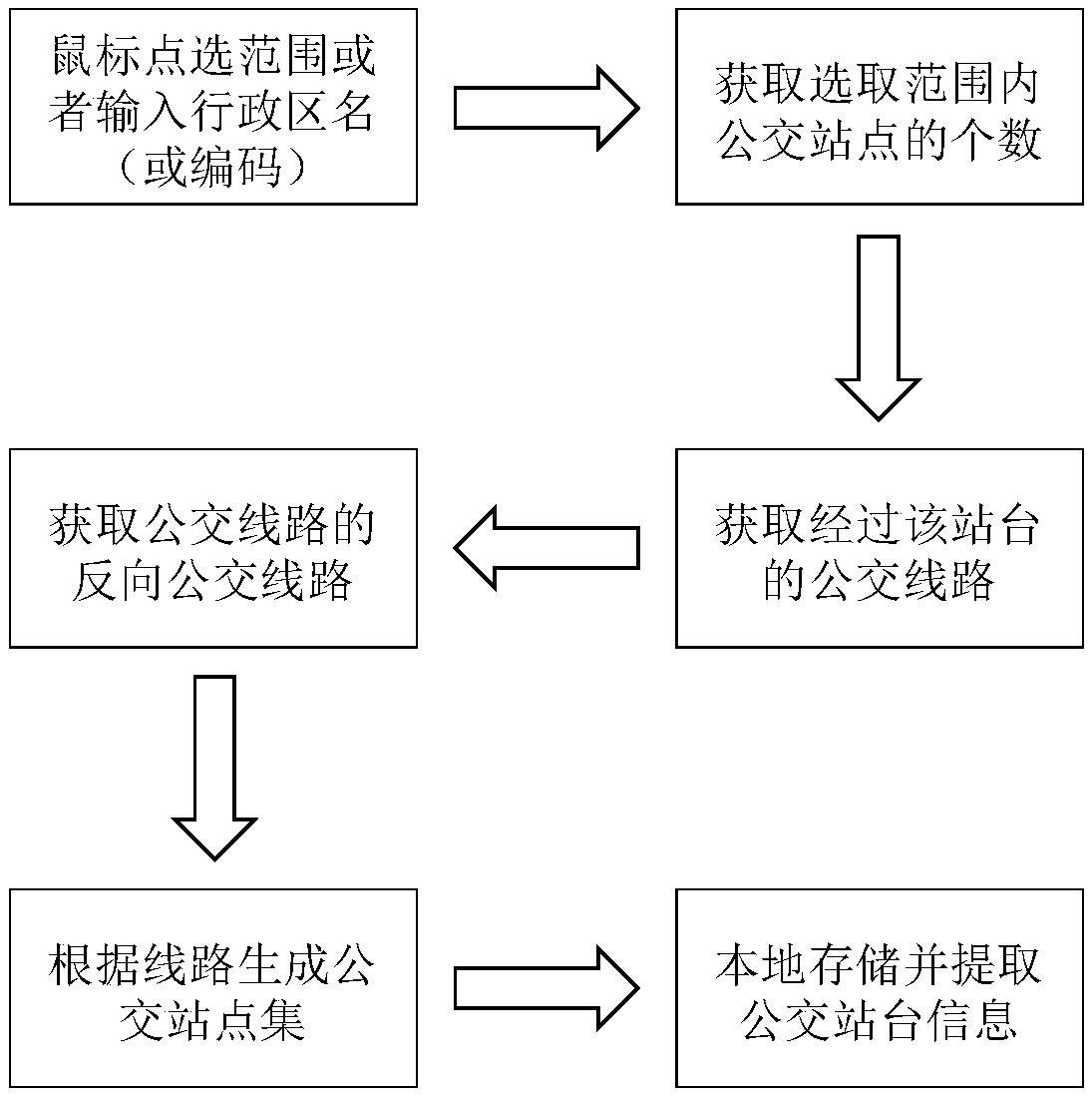
[0029] Such as figure 1 As shown, a method for obtaining public transportation site and line information based on JavaScript API on the web side, including steps:
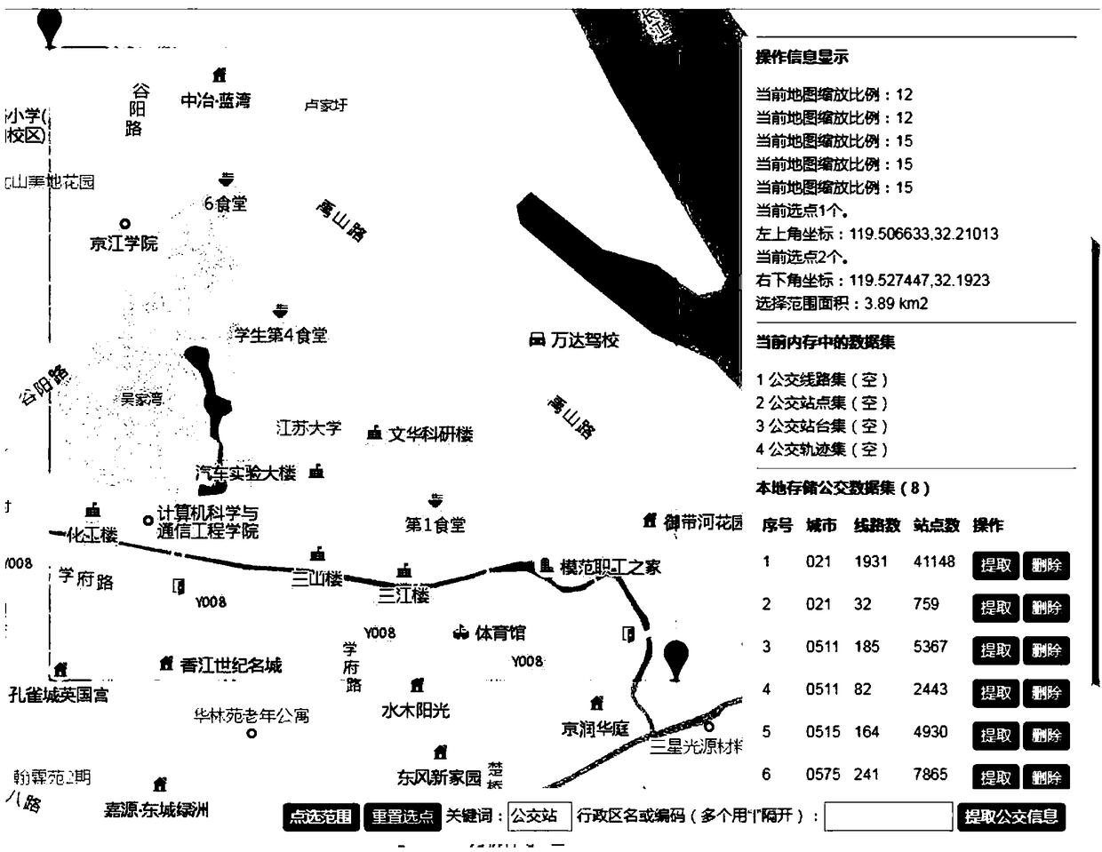
[0030] Step (1), according to the size of the research area you need, use the mouse to click on the network electronic map or directly enter the city administrative district name (or geocode, https: / / lbs.amap.com / api / webservice / guide / api / district / ), after determining the research scope, the user clicks to extract bus information; take the mouse to select the research scope as an example, use the mouse to click the upper left corner of the target area, then move the cursor to the lower right, and click the second point , the rectangular frame formed by connecting two points is used as the research range of the click; use the code of the "event binding" scene to bind the click ev...
PUM
 Abstract
Description
Claims
Application Information