
Height correcting method and system for aeromagnetic data

A height correction and height correction technology, applied in the field of geophysical exploration, can solve the problems of imperfect and difficult correction of cutting line leveling and correction, and achieve the effect of improving banded anomalies and eliminating false anomalies

Inactive Publication Date: 2014-07-16
SINOTECH MINERALS EXPLORATION
View PDF2 Cites 4 Cited by
  • Summary
  • Abstract
  • Description
  • Claims
  • Application Information

AI Technical Summary

Problems solved by technology

The conventional correction method mainly uses the cutting line leveling correction method, but the cutting line leveling correction method is not perfect, and it is difficult to correct local abnormalities

Method used

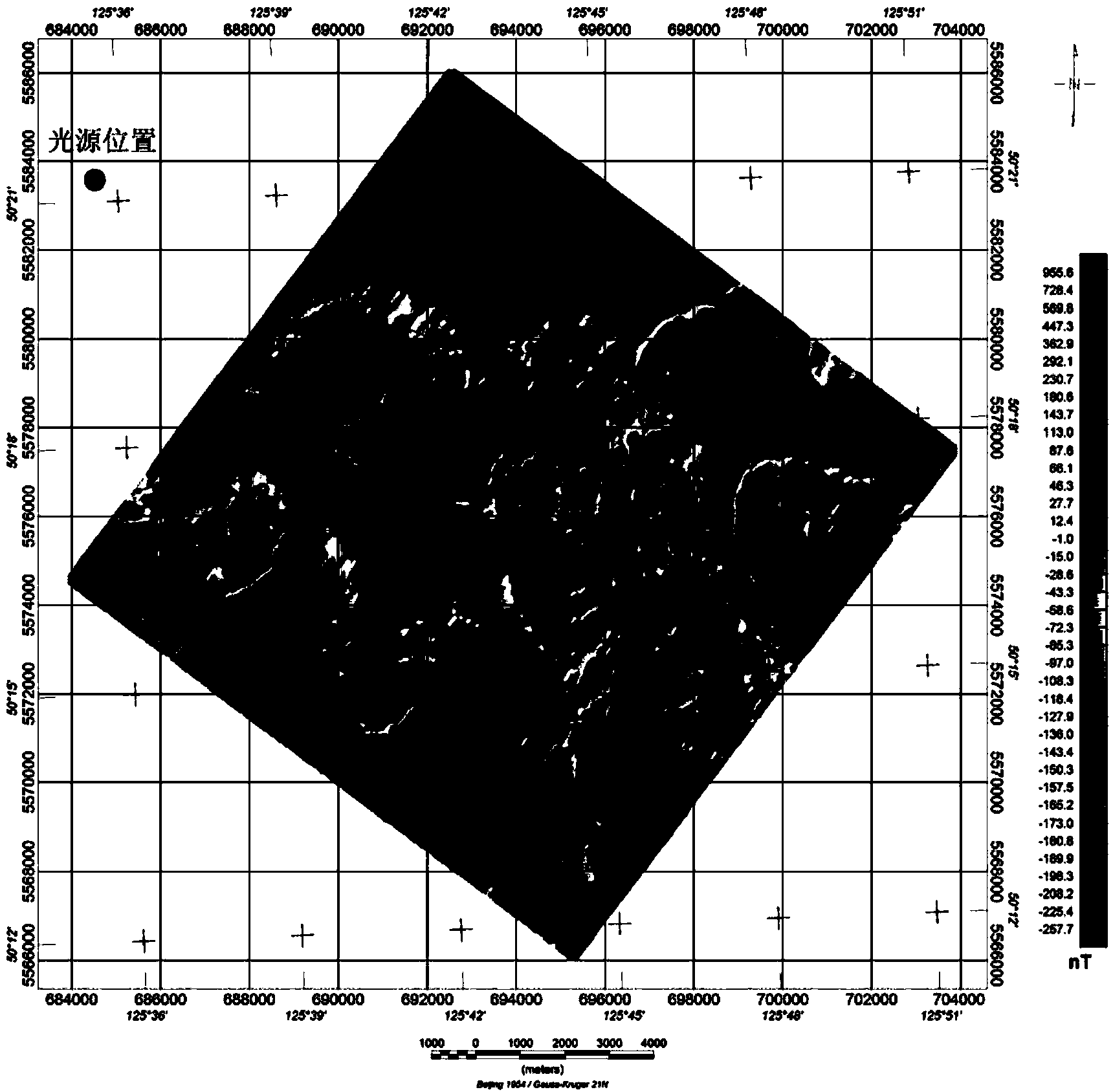
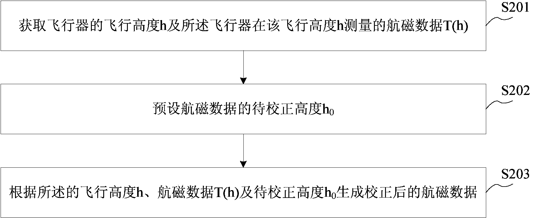
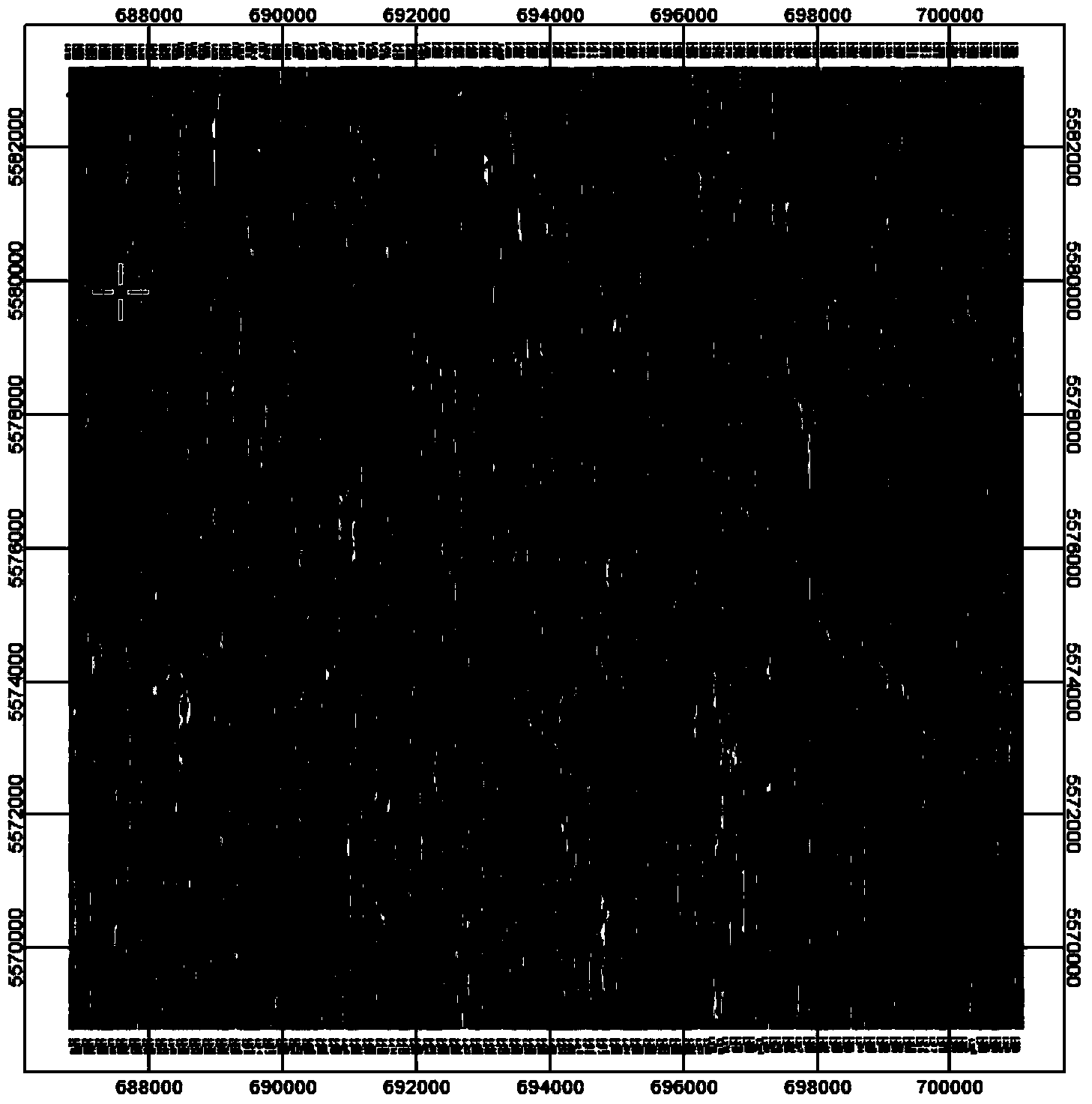

Image

  • Height correcting method and system for aeromagnetic data
  • Height correcting method and system for aeromagnetic data
  • Height correcting method and system for aeromagnetic data

Examples


Embodiment Construction

[0032] The following will clearly and completely describe the technical solutions in the embodiments of the present invention with reference to the accompanying drawings in the embodiments of the present invention. Obviously, the described embodiments are only some, not all, embodiments of the present invention. Based on the embodiments of the present invention, all other embodiments obtained by persons of ordinary skill in the art without making creative efforts belong to the protection scope of the present invention.

[0033] Such as figure 2 As shown, the embodiment of the present invention provides a method for correcting the height of aeromagnetic data, and the method for correcting the height of aeromagnetic data includes:

[0034] Step 201: Obtain the flight altitude h of the aircraft and the aeromagnetic data T(h) measured by the aircraft at the flight altitude h;

[0035] Step 202: Preset the altitude h to be corrected in the aeromagnetic data 0 ;

[0036] Step 20...


PUM


Abstract

The invention provides a height correcting method and system for aeromagnetic data. The height correcting method for the aeromagnetic data includes the steps of obtaining the flight height h of an aircraft and the aeromagnetic data T(h) measured when the aircraft is at the flight height h, presetting a to-be-corrected height h0 of the aeromagnetic data, and generating the corrected aeromagnetic data according to the flight height h, the aeromagnetic data T(h) and the to-be-corrected height h0. By the height correcting method and system for the aeromagnetic data, the stripped abnormal phenomenon caused by difference of intensities of the geomagnetic field can be avoided, false abnormities caused by the different flight heights can be eliminated, and a foundation is provided for further processing the aeromagnetic data.

Description

technical field [0001] The present invention relates to geophysical prospecting technology, in particular to aeromagnetic measurement technology, in particular to a method and system for correcting the height of aeromagnetic data. Background technique [0002] Aeromagnetic survey is one of the important methods of geophysical prospecting, widely used in oil prospecting, metal ore prospecting, coal prospecting and so on. Especially in areas with topographical conditions such as waters, loess cuts, forests and swamps, ground magnetic surveys cannot work, and aeromagnetic surveys can only be used to complete magnetic surveys. In the data processing of aeromagnetic measurement, the magnetic field data collected by the aeromagnetometer changes with the flight altitude of the aircraft. When the flight altitude of the aircraft is low, the measured magnetic field becomes stronger, and when the flight altitude is high, the measured magnetic field becomes weaker. Therefore, the diffe...

Claims


Application Information

Patent Timeline
Patent Type & Authority Applications(China)
IPC IPC(8): G01V3/08
Inventor 杨生郭刚张文杰
Owner SINOTECH MINERALS EXPLORATION
Learn More