Method for generating position reference line and method and device for determining position of interest point
A technology of reference lines and points of interest, used in character and pattern recognition, instruments, calculations, etc., can solve problems such as longitude and latitude coordinate drift, lag, GPS signals are easily affected by environmental factors, and achieve the effect of overcoming inaccurate coordinates
- Summary
- Abstract
- Description
- Claims
- Application Information
AI Technical Summary
Problems solved by technology
Method used
Image


Examples
Embodiment 1
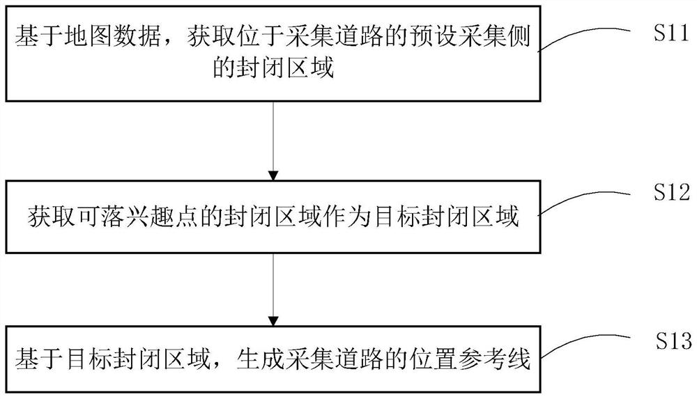
[0066] Embodiment 1 of the present invention provides a method for generating a position reference line. The generated position reference line is mainly used to determine the position of a point of interest. The process is as follows figure 1 shown, including the following steps:
[0067] Step S11: Based on the map data, obtain a closed area located on a preset collection side of the collection road.
[0068] Specifically, according to the pre-designated collection road, a plurality of closed areas are divided on the preset collection side of the collection road in the electronic map.
[0069] Among them, the collection road is the reference road used to determine the target closed area where the location of the point of interest is located. The collection road can be determined in advance according to the length of the road, the extension direction of the road, and the node data of the road. The long, extended method is close to a straight line, and the distribution density ...
Embodiment 2
[0088] Embodiment 2 of the present invention provides a specific implementation process of a method for generating a position reference line, refer to Figure 4 shown, including the following steps:
[0089] Step S41: Based on the map data, obtain a closed area located on a preset collection side of the collection road.
[0090] In one embodiment, from the map data, the road located on the preset collection side of the collection road and whose distance to the collection road does not exceed the preset distance threshold is obtained as the target road; from the map data, the road located at On the preset acquisition side of the acquisition road, the building whose distance from the lower edge of the building to the acquisition road does not exceed the preset distance threshold is used as the target building; based on the target road and the target building, the preset acquisition located on the acquisition road The geographical area on the side is divided into more than one c...
PUM
 Abstract
Description
Claims
Application Information
PatSnap Eureka turns technology decisions into work you can execute. Powered by our Innovation Knowledge Graph, it runs expert workflows across engineering, life sciences, materials and intellectual property. Get your review-ready output in minutes.


