A Method of Predetermining Footprint Position of Spaceborne Laser Altimeter
A laser altimeter and footprint technology, applied in measuring devices, instruments, radio wave measurement systems, etc., to achieve high prediction accuracy, reduce manpower and material resources, and save test costs.
- Summary
- Abstract
- Description
- Claims
- Application Information
AI Technical Summary
Problems solved by technology
Method used
Image
Examples
Embodiment Construction
[0023] The present invention will be described more fully hereinafter with reference to the accompanying drawings, in which exemplary embodiments of the invention are illustrated.
[0024] According to the embodiments of the present invention, the space-borne laser altimeter can be randomly selected to construct the footprint position prediction model; preferably, the implementation case of the present invention is based on the footprint position prediction model of the laser altimeter of No. 3, 02 star Build as an example, but not limited to.
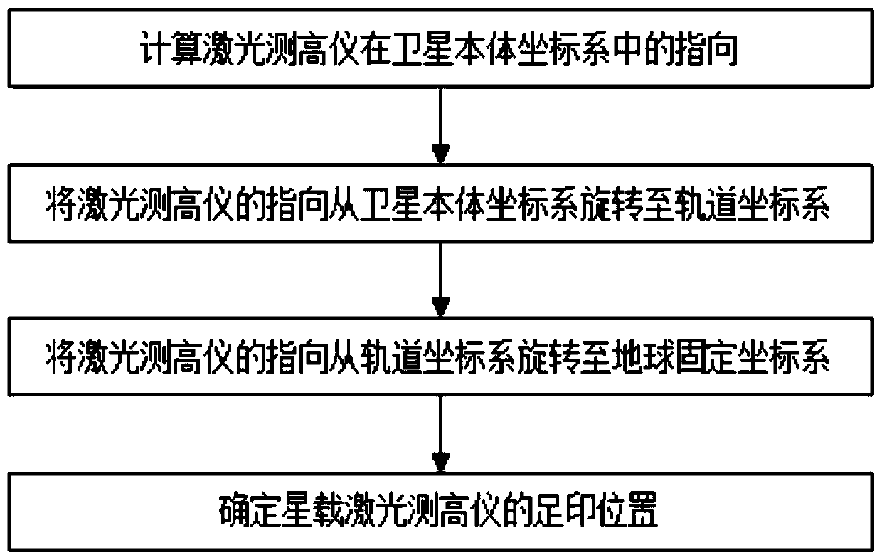
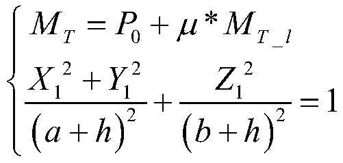
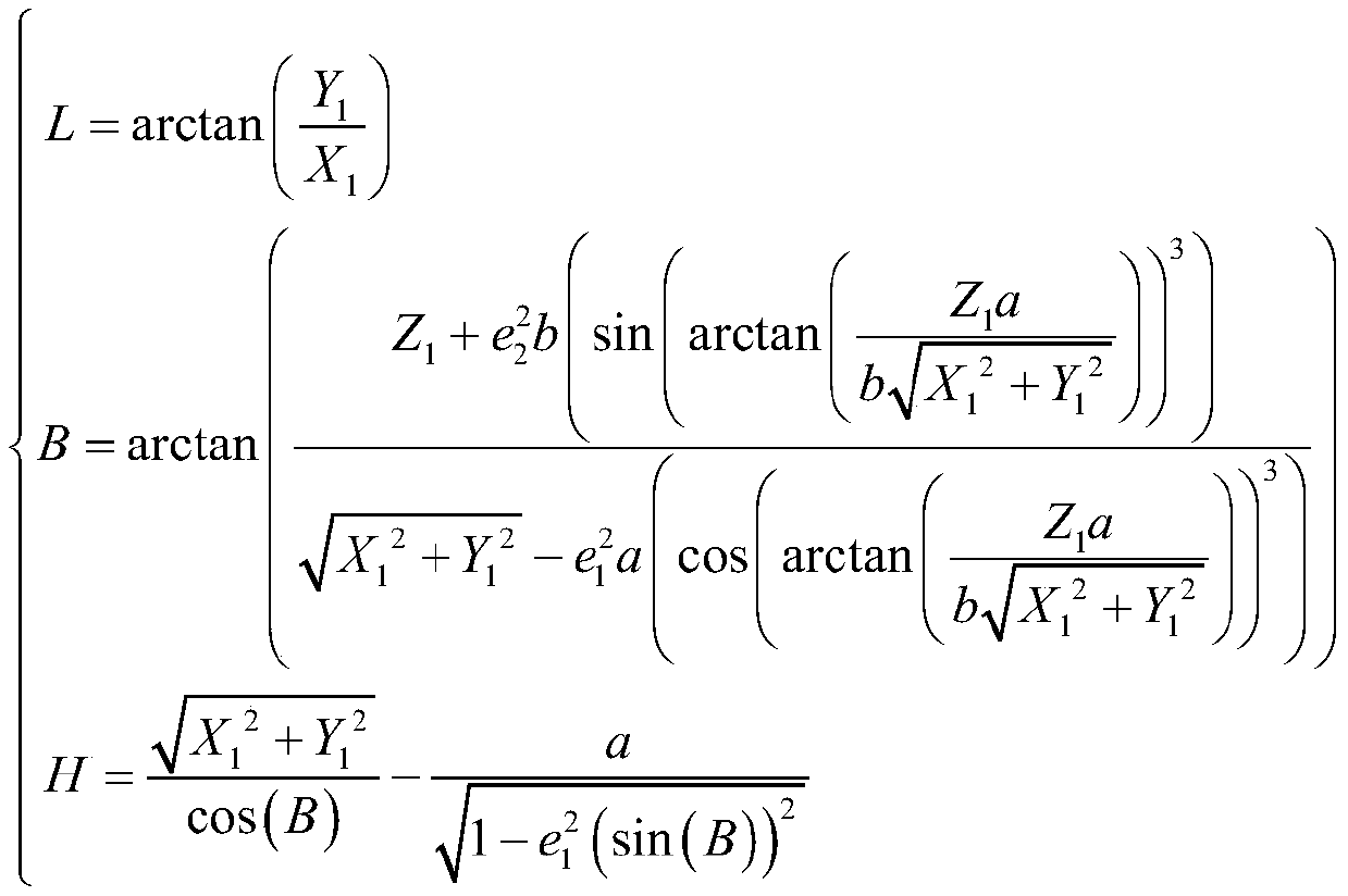
[0025] Such as figure 1 As shown, the construction of the laser altimeter prediction model and the construction of the optically rigorous geometric imaging model have the same process, which involves the rotation between each coordinate system, and finally transmits the pointing on the star to the ground point through the rotation of each coordinate system. The space-borne laser altimeter footprint position prediction model constructi...
PUM
 Abstract
Description
Claims
Application Information
 - R&D
- Intellectual Property
- Life Sciences
- Materials
- Tech Scout
- Unparalleled Data Quality
- Higher Quality Content
- 60% Fewer Hallucinations
Browse by: Latest US Patents, China's latest patents, Technical Efficacy Thesaurus, Application Domain, Technology Topic, Popular Technical Reports.
© 2025 PatSnap. All rights reserved.Legal|Privacy policy|Modern Slavery Act Transparency Statement|Sitemap|About US| Contact US: help@patsnap.com


