

Method for identifying deformation evolutionary phase of red rock landslide in east Sichuan
An identification method and stage technology, which can be used in instruments, geophysical measurements, soil material testing, etc.
- Summary
- Abstract
- Description
- Claims
- Application Information
AI Technical Summary
Problems solved by technology
Method used
Image

Examples
Embodiment Construction
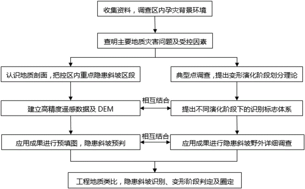
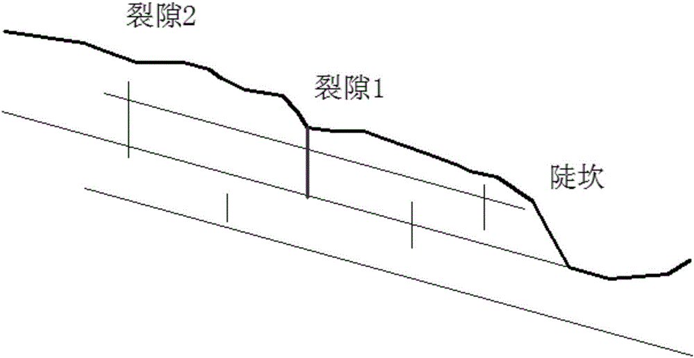
[0024] The purpose of the present invention is to introduce a theory for the division of deformation and evolution stages of rock landslides in eastern Sichuan on the basis of geological surveys, and through identification features of slope micro-geomorphology and detailed structures, etc., to propose identification marks and identification marks for different deformation evolution stages. This method provides guidance for the prediction and prevention of landslides in the area and the determination of hidden danger points of large-scale and bedding rock landslides.
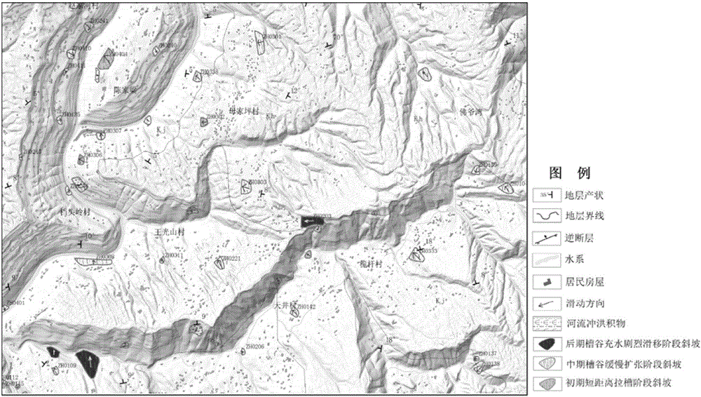
[0025] The general idea of the present invention is based on the geological survey of the red layer area in eastern Sichuan, deeply investigates the disaster-forming background conditions such as geological structure, stratum lithology, topography and landform in the area, and emphasizes that the deformation and destruction of the slope in the area is the local deformation evolution process of the geological body...
PUM
 Abstract
Description
Claims
Application Information