
Method of using map data that has been organized for affinity relationships

Active Publication Date: 2012-02-14
HERE GLOBAL BV
View PDF10 Cites 9 Cited by
  • Summary
  • Abstract
  • Description
  • Claims
  • Application Information

AI Technical Summary

Benefits of technology

[0007]To address these and other objectives, the present invention includes embodiments for organizing digital map data to enable fast and convenient destination entry and guidance for navigation systems. There are included two related components. First is a means to index place names in a way that captures, for any given place name, an affinity to one or more potentially more important place names. Each such more important place subtends an affinity domain within which other places are deemed to lie. This carries on hierarchically and has the effect of creating a relatively meaningful and minimized structure that can be rapidly searched for a user's intended destination. The second component uses these affinity domains to determine the instructions necessary to embark upon a guided journey rather than determining all instructions needed to complete the journey.

Problems solved by technology

The function of specifying a destination can be complicated for various reasons.
Many systems do not calculate a route or provide guidance until an exact location for the destination has been indicated in its entirety by the user.
However, in some cases the user may not know the exact spelling of a city or street.
Another possible complication occurs when cities or towns have the same or similar names.

Method used


Image

  • Method of using map data that has been organized for affinity relationships
  • Method of using map data that has been organized for affinity relationships
  • Method of using map data that has been organized for affinity relationships

Examples


Embodiment Construction

I. Overview of Geographic Database Formation

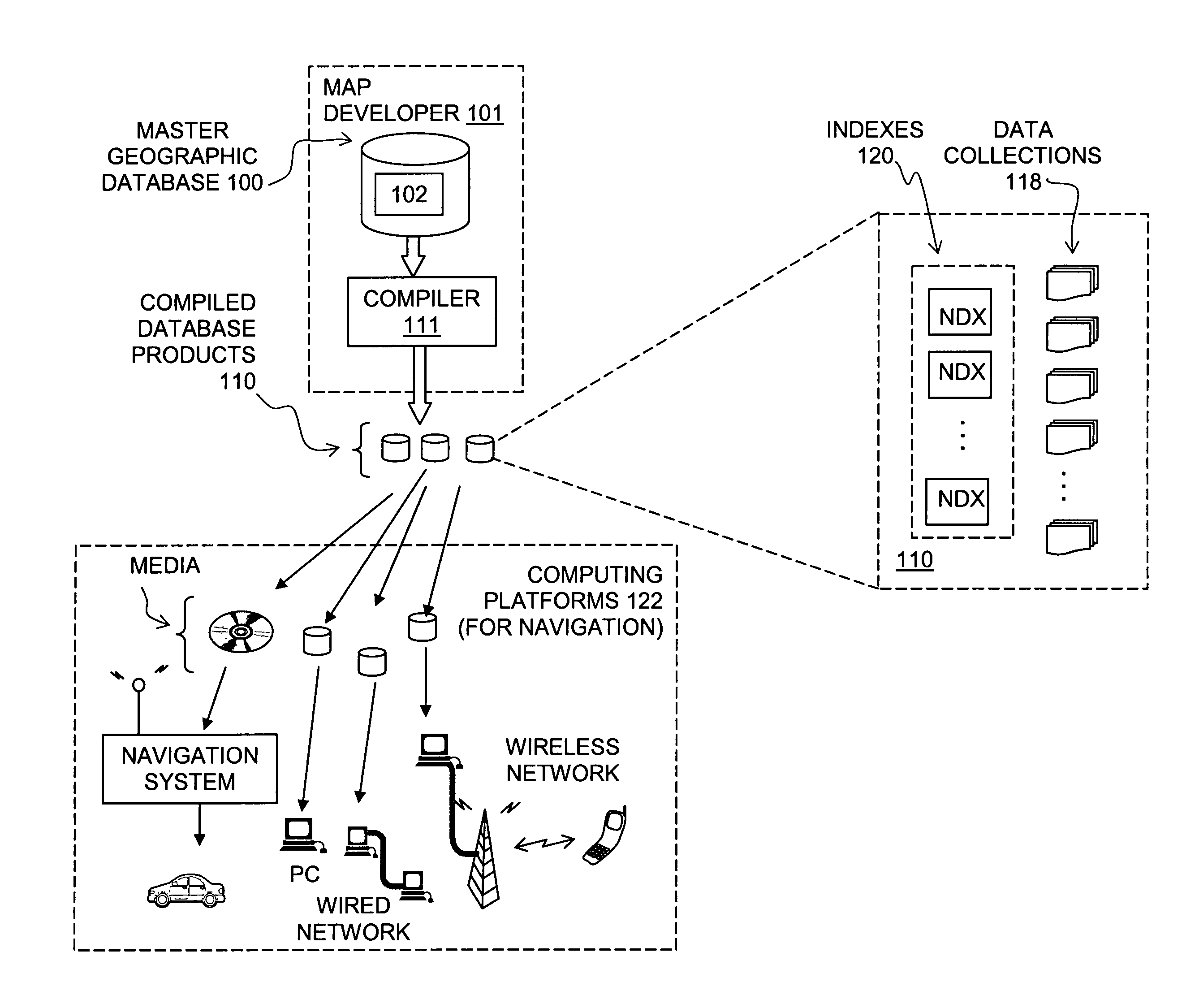
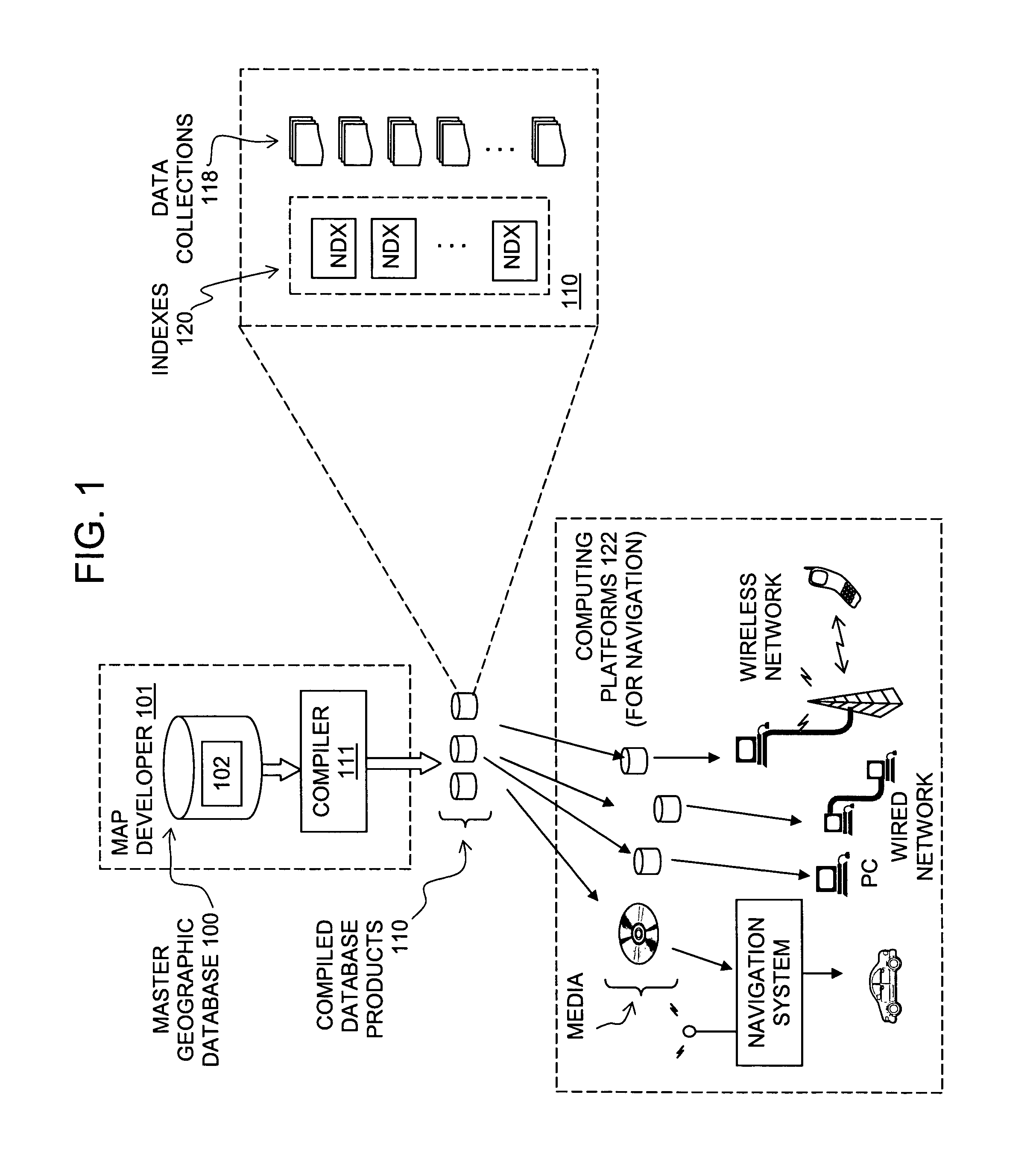
[0021]FIG. 1 shows a master or source version of a geographic database 100. The master version of the geographic database is owned and developed by a geographic database developer 101 (also referred to as a “map developer”, a “map data developer” or the like). (Although only one source database and geographic database developer are shown, the embodiments disclosed herein are not limited to only a single source database or a single geographic database developer.)

[0022]The master version of the geographic database 100 contains data 102 (also referred to a “geographic data” or “spatial data”) that represent features in a geographic coverage area. The geographic coverage area may correspond to an entire country, such as the United States. Alternatively, the geographic coverage area may correspond to several countries, such as the United States, Canada, and Mexico, or France, Germany, and Italy, and so on. According to another alternative, the ...


PUM


Abstract

A method is disclosed for providing guidance to a destination with a computing system that uses geographic data indexed by affinity relationships. A user specifies a municipality of relatively greater importance that is located nearby the desired actual destination. The computing system provides guidance to the user to follow a route to the specified municipality. While the user is following the route to the specified municipality, additional routes are calculated to each of a plurality of roads that cross into an affinity domain associated with the specified municipality. Before the user reaches the point at which any of the additional routes diverge from the route to the specified municipality, input is obtained from the user, one or more times as needed, specifying either another municipality progressively closer to the desired actual destination or the actual desired destination. Guidance is provided to the user to follow the routes to the closer municipalities or the desired actual destination.

Description

REFERENCE TO RELATED APPLICATION[0001]The present application is a continuation-in-part of the patent application entitled “METHOD OF ORGANIZING MAP DATA FOR AFFINITY RELATIONSHIPS AND APPLICATION FOR USE THEREOF,” Ser. No. 11 / 072,877, filed Mar. 3, 2005 now U.S. Pat. No. 7,805,317, the entire disclosure of which is incorporated by reference herein.BACKGROUND OF THE INVENTION[0002]The present invention relates to a method for using a geographic database that has been organized or indexed with affinity relationships in order to facilitate specifying destinations.[0003]Navigation-related functions are provided on various different computer platforms. For example, navigation-related functions can be provided with standalone systems or networked systems. In a standalone system, the software applications, geographic data, and hardware are combined at a single location. A standalone system may be installed in a vehicle or carried by a person. In a networked system, some of the software or...

Claims


Application Information

Patent Timeline
IPC IPC(8): G06Q10/00
CPCG01C21/32G01C21/3617
Inventor KHAN, M. SALAHUDDINHERBST, JAMES
Owner HERE GLOBAL BV
Learn More