Super-resolution reconstruction method of satellite remote sensing image based on wavelet preprocessing and sparse representation

A super-resolution reconstruction and remote sensing image technology, which is applied in the field of satellite remote sensing image processing, can solve the problem of limited ability to improve the spatial resolution of remote sensing images

Inactive Publication Date: 2017-05-03
JILIN UNIV
View PDF7 Cites 0 Cited by
  • Summary
  • Abstract
  • Description
  • Claims
  • Application Information

AI Technical Summary

Problems solved by technology

The use of sparse representation for super-resolution reconstruction of remote sensing images is a preliminary study, and the ability to improve the spatial resolution of remote sensing images is limited

Method used


Image

  • Super-resolution reconstruction method of satellite remote sensing image based on wavelet preprocessing and sparse representation
  • Super-resolution reconstruction method of satellite remote sensing image based on wavelet preprocessing and sparse representation
  • Super-resolution reconstruction method of satellite remote sensing image based on wavelet preprocessing and sparse representation

Examples


Embodiment 1

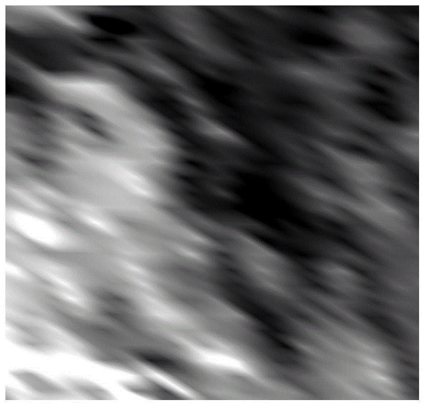
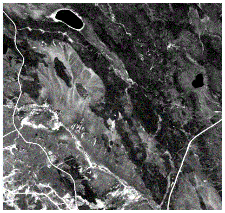
[0058] Example 1: Landsat ETM+ with a high spatial resolution of 30m and MODIS remote sensing data with a low spatial resolution of 250m are used as test data. The temporal resolution of MODIS remote sensing data is 1 day, and that of Landsat ETM+ remote sensing data is 16 days. Two types of data come from NASA's Reverb ECHO website ( http: / / reverb.echo.nasa.gov / reverb / ) data were collected on May 24, 2001, July 11, 2001 and August 12, 2001, respectively. The observation area is located near (54°N, 104°W). The present invention observes MODIS and LandsatETM+ remote sensing image ( Figure 2-Figure 5 ) in the selection of high and low resolution training sample pairs, adopt the method proposed by the present invention to the MODIS remote sensing image on July 11, 2001 ( Image 6 ) for super-resolution reconstruction, and use the Landsat ETM+ remote sensing image on July 11, 2001 ( Figure 7 ) is used as the target image for verification. Specifically include the follo...


PUM


Abstract

The invention discloses a wavelet preprocessing and sparse representation-based satellite remote sensing image super-resolution reconstruction method and belongs to the technical field of satellite remote sensing image processing. The wavelet preprocessing and sparse representation-based satellite remote sensing image super-resolution reconstruction method is applicable to high resolution remote sensing images and low resolution remote sensing images with different time resolutions in the same known observation area, super-resolution reconstruction is performed on low resolution remote sensing images at other observation times and the spatial resolution of the low resolution remote sensing images is improved. The wavelet preprocessing and sparse representation-based satellite remote sensing image super-resolution reconstruction method specifically comprises steps of dictionary training and low resolution remote sensing image reconstruction. According to the wavelet preprocessing and sparse representation-based satellite remote sensing image super-resolution reconstruction method, the phonological change of the remote sensing image is taken into consideration, wavelet domain dictionaries comprising different character information are constructed, super-resolution reconstruction of the low resolution remote sensing images is effectively achieved based on training of the three pairs of wavelet section dictionaries and in combination with sparse representation, image detail features are well obtained, the reconstruction quality of the low resolution remote sensing images is effectively improved, and a basis is provided for later applications of the low resolution remote sensing images.

Description

technical field [0001] The invention belongs to the technical field of satellite remote sensing image processing, and uses wavelet preprocessing technology to propose a super-resolution reconstruction method for satellite remote sensing images based on sparse representation. This method can improve the spatial resolution of the original remote sensing image and provide more detailed information than the original image, which is helpful for the subsequent processing of the remote sensing image. Background technique [0002] The spatial resolution of remote sensing images is an important factor affecting target recognition and accurate interpretation. In order to improve the spatial resolution of low-resolution remote sensing images, super-resolution reconstruction methods can be used for image enhancement. The super-resolution reconstruction method refers to an algorithm that uses one or more frames of low-resolution images of the same scene to reconstruct one or more frames...

Claims


Application Information

Patent Timeline
Patent Type & Authority Patents(China)
IPC IPC(8): G06T5/50
Inventor 任瑞治顾玲嘉庞悦张爽
Owner JILIN UNIV
Why Eureka
Try Eureka