Geodetic Interpolation Method Constrained by Azimuth Arch Height Limit Difference Based on Mercator Projection

A technology of Mercator projection and azimuth angle, which is applied in the direction of instruments, complex mathematical operations, surveying and navigation, etc.

Active Publication Date: 2020-11-03
PLA DALIAN NAVAL ACADEMY
View PDF3 Cites 0 Cited by
  • Summary
  • Abstract
  • Description
  • Claims
  • Application Information

AI Technical Summary

Problems solved by technology

[0006] In long-term practice, the accurate drawing of the geodetic line mainly depends on the calculation of the maximum interpolation distance of the geodetic line and the local accuracy evaluation of the approach of the small straight line (broken line segment) to the geodetic line. There is no public literature that can quantitatively evaluate The overall accuracy index of geodetic line drawing, and realize the geodetic encrypted interpolation with strict controllable accuracy threshold

Method used


Image

  • Geodetic Interpolation Method Constrained by Azimuth Arch Height Limit Difference Based on Mercator Projection
  • Geodetic Interpolation Method Constrained by Azimuth Arch Height Limit Difference Based on Mercator Projection
  • Geodetic Interpolation Method Constrained by Azimuth Arch Height Limit Difference Based on Mercator Projection

Examples


Embodiment Construction

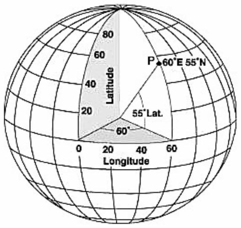
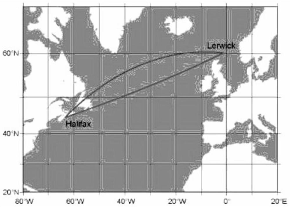
[0037] The geodetic interpolation algorithm of the present invention based on the azimuth arch height tolerance constraint of the Mercator projection, the realization process is to use a computer to realize the precise drawing of the geodetic line, and use the method of the present invention to realize the geodetic line drawing accuracy and interpolation distance Adaptive adjustment and matching. Assume that the starting point and ending point of the earth line w are points P and point Q respectively; P, Q and the interpolation point T i (i∈[1,n]) (n represents the number of interpolation points on the geodetic line w, n=0,1,2...) The polyline formed by connecting is represented by w'; the initial value of n is 0, which means Interpolated geodetic w.

[0038] In the present invention, for the interpolation distance Interpolate the earth wire w to ensure that the adjacent interpolation point T i , T i+1 arch height h i Not greater than the earth line w arch height limit d...


PUM


Abstract

The invention discloses a geodesic line interpolation method for azimuth arch rise tolerance constraint based on Mercator projection. The method comprises the following steps: reading in latitude andlongitude coordinates of a starting point and a terminal point of a geodesic line; setting a geodesic line arch rise tolerance; calculating a geodesic line initial azimuth angle and a rhumb line initial azimuth angle between a current point and the terminal point of the geodesic line by utilizing geodesic inverse problem and rhumb line inverse problem methods in geodesy; calculating an included angle between the geodesic line initial azimuth angle and the rhumb line initial azimuth angle, and dividing the geodesic line arch rise tolerance by a sinusoidal value of the included angle so as to serve as an interpolation distance of the next interpolation point; calculating latitude and longitude coordinates of the next interpolation point based on the calculated interpolation distance, the latitude and longitude coordinates of the current point and the geodesic line initial azimuth angle thereof by utilizing direct solution of geodetic problem in geodesy; and by parity of reasoning until the interpolation of the points is completed. According to the method disclosed by the invention, by virtue of adaptive adjusting and matching of geodesic line plotting precision and the interpolationdistance, precision plotting of a geodesic line of any length is realized under a specified precision threshold condition.

Description

technical field [0001] The invention relates to the technical field of marine surveying and mapping. Background technique [0002] It can be seen from the knowledge of geodesy that there must be a unique geode for any given two points on the ellipsoidal surface of the earth. Utilizing this feature can accurately express various "straight lines" such as straight territorial sea baselines on a given ellipsoidal surface of the earth. Therefore, it has become more and more popular to regard various "straight lines" as geodetic lines in maritime delimitation. accepted by the maritime states. like Figure 1-3 As shown, since most geodetic lines usually appear as very complex curves on various projection planes, and it is not easy to realize their representation on the chart plane according to a strict mathematical model, it is necessary to try to achieve its accurate drawing. question. [0003] In order to solve the above problems, geodesists at home and abroad have conducted i...

Claims


Application Information

Patent Timeline
Patent Type & Authority Patents(China)
IPC IPC(8): G06F17/17G01C7/02
CPCG01C7/02G06F17/17
Inventor 彭认灿董箭周唯张志衡
Owner PLA DALIAN NAVAL ACADEMY
Why Eureka
Try Eureka