Geodetic Interpolation Method Constrained by Geodetic Length Tolerance
A geodetic, tolerance technology, used in instrumentation, mapping and navigation, measuring devices, etc.
- Summary
- Abstract
- Description
- Claims
- Application Information
AI Technical Summary
Problems solved by technology
Method used
Image
Examples
Embodiment Construction
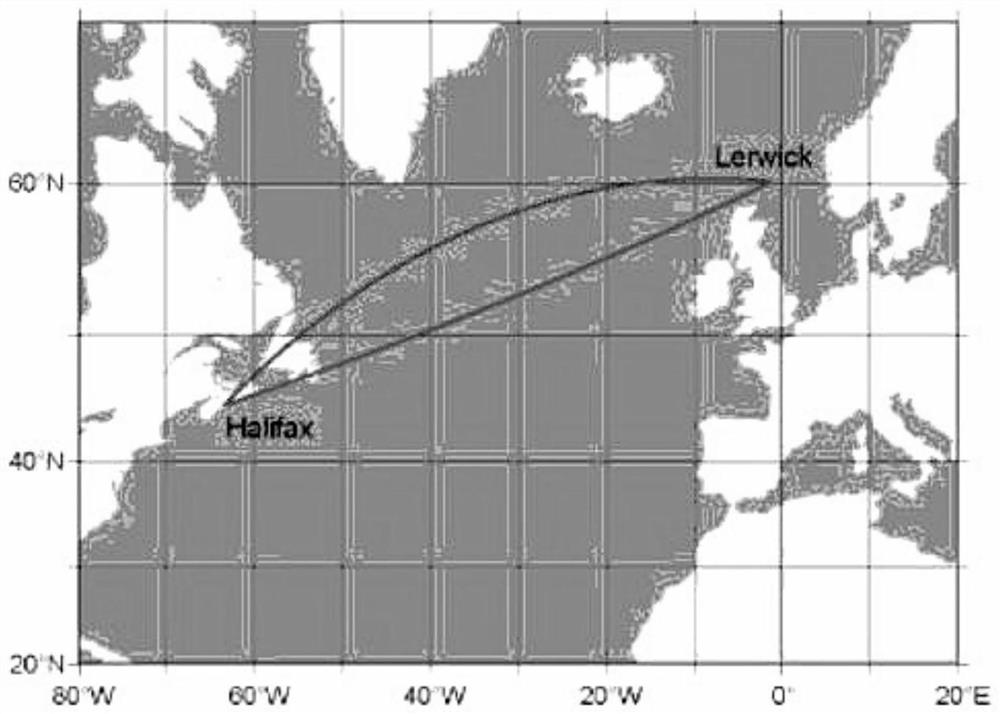
[0037] The geodetic line interpolation method constrained by the length tolerance of the geodetic line of the present invention uses a computer to realize the precise drawing of the geodetic line, and adopts the method to realize the self-adaptive adjustment and matching of the geodetic line drawing precision and the interpolation distance.
[0038] Assuming that the starting point and end point of the geodetic line w are points P and point Q respectively, in a given length tolerance δ of the geodetic line w Ω Under the premise of , each time the local polyline segment w i 'The earth line distance S(w i ') half of half line segment w i 'Perform halved encrypted interpolation processing; calculate the length of the geodetic line w S(w) and the length of the polyline ∑d(w) formed by P, Q and interpolation points i ') difference δ i ; Judgment difference δ i and tolerance δ Ω relationship, when δ i ≤δ Ω stop the geodetic bisection interpolation. Such as Figure 5 shown...
PUM
 Abstract
Description
Claims
Application Information
 - R&D
- Intellectual Property
- Life Sciences
- Materials
- Tech Scout
- Unparalleled Data Quality
- Higher Quality Content
- 60% Fewer Hallucinations
Browse by: Latest US Patents, China's latest patents, Technical Efficacy Thesaurus, Application Domain, Technology Topic, Popular Technical Reports.
© 2025 PatSnap. All rights reserved.Legal|Privacy policy|Modern Slavery Act Transparency Statement|Sitemap|About US| Contact US: help@patsnap.com


