Panoramic map-based network analysis model construction and path analysis method
A panorama map and path analysis technology, applied in 3D modeling, image data processing, structured data retrieval, etc., can solve the problems of poor spatial continuity of panoramas, limit the application of panorama maps, and weak support of spatial analysis functions, etc., and achieve compensation The weak effect
- Summary
- Abstract
- Description
- Claims
- Application Information
AI Technical Summary
Problems solved by technology
Method used
Image
Examples
Embodiment Construction
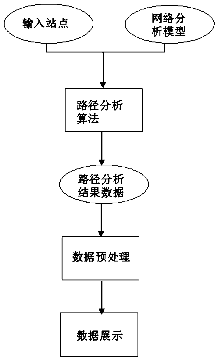
[0017] A network analysis model construction and path analysis method based on a panoramic map includes the following steps.
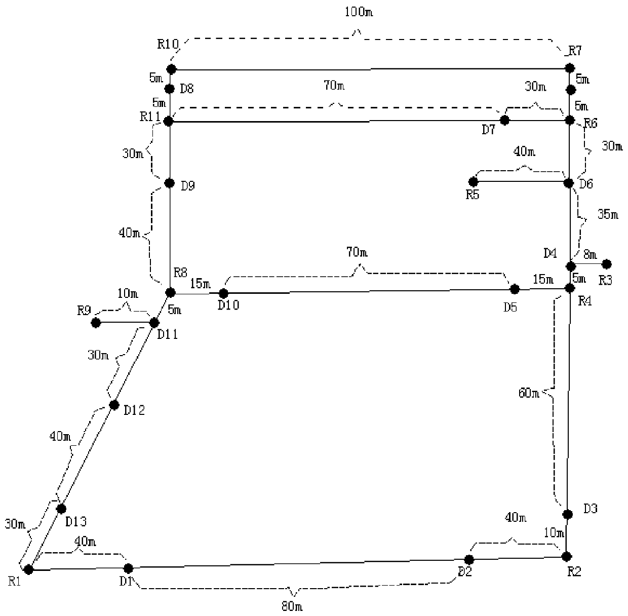
[0018] The first step is to collect a panoramic map covering the entire target area, and develop a panoramic map coordinate acquisition program based on the panoramic map, collect the panoramic map coordinate points of all road intersections and equipment installation points in the target area, and transfer the map coordinates points as road network nodes.
[0019] The road network of the target area is constructed by using the road network nodes.
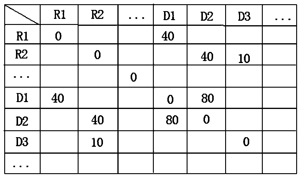
[0020] Afterwards, the actual distance between adjacent road network nodes is obtained, the actual distance value is used as the distance weight of each edge in the road network model, and the traffic rules of each edge in the road network model are set according to the actual road traffic direction.
[0021] During specific implementation, UAVs are used to collect panoramic maps covering the entire target...
PUM
 Abstract
Description
Claims
Application Information
 - R&D
- Intellectual Property
- Life Sciences
- Materials
- Tech Scout
- Unparalleled Data Quality
- Higher Quality Content
- 60% Fewer Hallucinations
Browse by: Latest US Patents, China's latest patents, Technical Efficacy Thesaurus, Application Domain, Technology Topic, Popular Technical Reports.
© 2025 PatSnap. All rights reserved.Legal|Privacy policy|Modern Slavery Act Transparency Statement|Sitemap|About US| Contact US: help@patsnap.com


