Method for accurately positioning digital map
A precise positioning and digital map technology, applied in maps/plans/charts, instruments, educational tools, etc., can solve problems such as time-consuming and energy-consuming, no unified system, and inability to carry out large-scale promotion and application
- Summary
- Abstract
- Description
- Claims
- Application Information
AI Technical Summary
Problems solved by technology
Method used
Image
Examples
Embodiment Construction
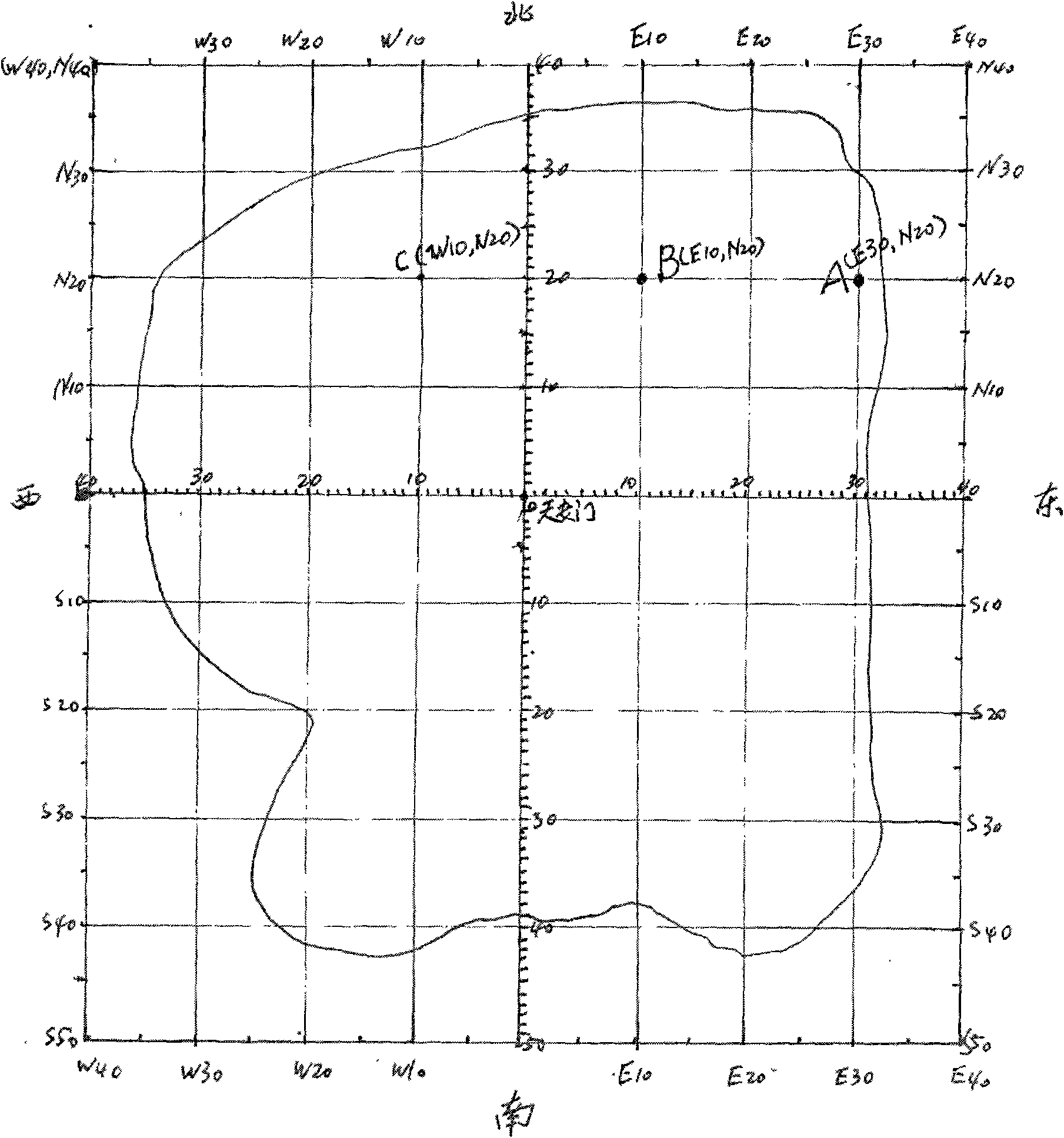
[0040] Taking the map of Beijing as an example (accompanying drawing of the instruction manual), Tiananmen Square can be used as the central origin, and as the center of the map, this origin will remain unchanged in future similar map productions. This is the first prerequisite for the practical application of digital precise positioning maps of city center landmarks.
[0041] The actual physical distance of the city represented by the unit scale of the positioning map remains unchanged. We tentatively set a standard scale to represent the actual distance of 100 meters.
[0042] We define that the actual physical distance represented by the unit standard scale remains unchanged, which is of great significance, so that we can use it on city maps of different sizes. Regardless of the size of the map, a standard scale is 100 meters. The future expansion of the city range will not have a substantial impact on the use of the map. The city center landmark digital precise positioning...
PUM
 Abstract
Description
Claims
Application Information
 - R&D
- Intellectual Property
- Life Sciences
- Materials
- Tech Scout
- Unparalleled Data Quality
- Higher Quality Content
- 60% Fewer Hallucinations
Browse by: Latest US Patents, China's latest patents, Technical Efficacy Thesaurus, Application Domain, Technology Topic, Popular Technical Reports.
© 2025 PatSnap. All rights reserved.Legal|Privacy policy|Modern Slavery Act Transparency Statement|Sitemap|About US| Contact US: help@patsnap.com

