Visual marking method for distance in map
A distance and intuitive technology, applied to maps/plans/charts, instruments, educational tools, etc., can solve the problems of large errors and only approximate estimates, and achieve the effect of convenient labeling, fast reading and conversion
- Summary
- Abstract
- Description
- Claims
- Application Information
AI Technical Summary
Problems solved by technology
Method used
Image
Examples
Embodiment 1
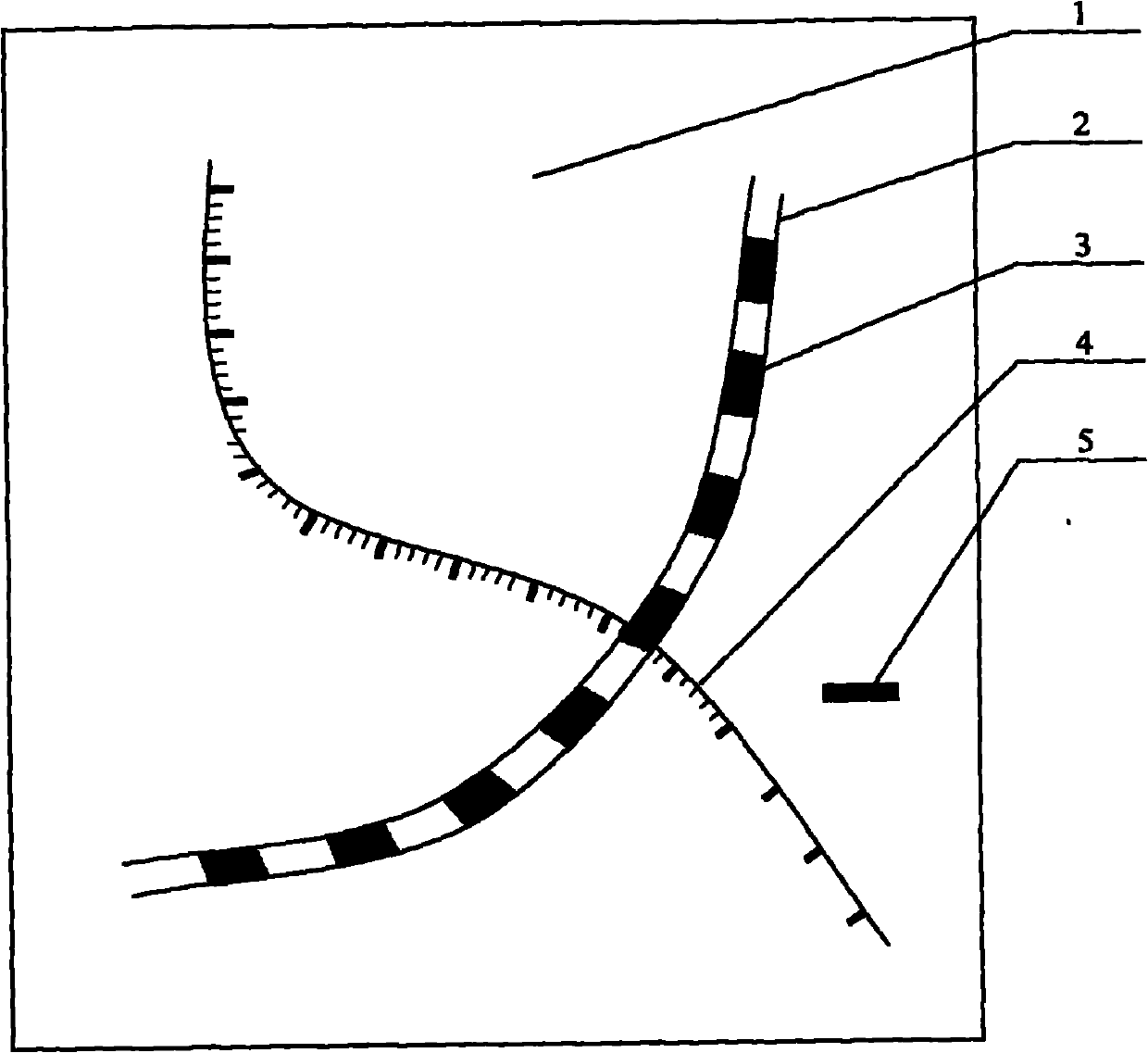
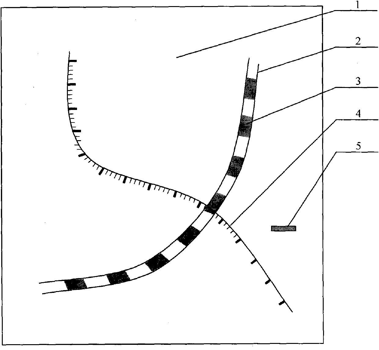
[0008] Embodiment 1: road mark 2 is marked on the drawing surface 1, and the mileage mark 3 is marked equidistantly on the road marking 2, and the legend 5 is also marked on the drawing surface 1, and the n power pair of 10 of the legend 5 adopts the mileage unit Mileage marks 3 units for illustration.
[0009] Auxiliary markers 4 are equidistantly marked on single mileage markers 3 . Auxiliary mark 4 can be finely marked.
[0010] Road mark 2 is marked with a strip curve, mileage mark 3 is marked with equal-length color blocks, and legend 5 marks the mileage represented by the length of the color block. At this time, the auxiliary marks 4 are equidistant color bars thinner than the mileage marks 3, and these color bars may be of the same color or of different colors.
[0011] Road marking 2 is marked with a single curve, and mileage marking 3 is an equidistant line segment perpendicular to the curve of road marking 2. Figure 5 shows the corresponding actual mileage between ...
PUM
 Abstract
Description
Claims
Application Information
 - R&D Engineer
- R&D Manager
- IP Professional
- Industry Leading Data Capabilities
- Powerful AI technology
- Patent DNA Extraction
Browse by: Latest US Patents, China's latest patents, Technical Efficacy Thesaurus, Application Domain, Technology Topic, Popular Technical Reports.
© 2024 PatSnap. All rights reserved.Legal|Privacy policy|Modern Slavery Act Transparency Statement|Sitemap|About US| Contact US: help@patsnap.com


