Hole bypass geographic routing method based on Delaunay triangulation
A Delaunay triangle and geographic routing technology, applied in the field of geographic routing in wireless sensor networks, can solve the problems of unstable transmission and excessive hole overhead, and achieve the effect of reducing network energy consumption and shortening communication distance.
- Summary
- Abstract
- Description
- Claims
- Application Information
AI Technical Summary
Problems solved by technology
Method used
Image
Examples
Embodiment Construction
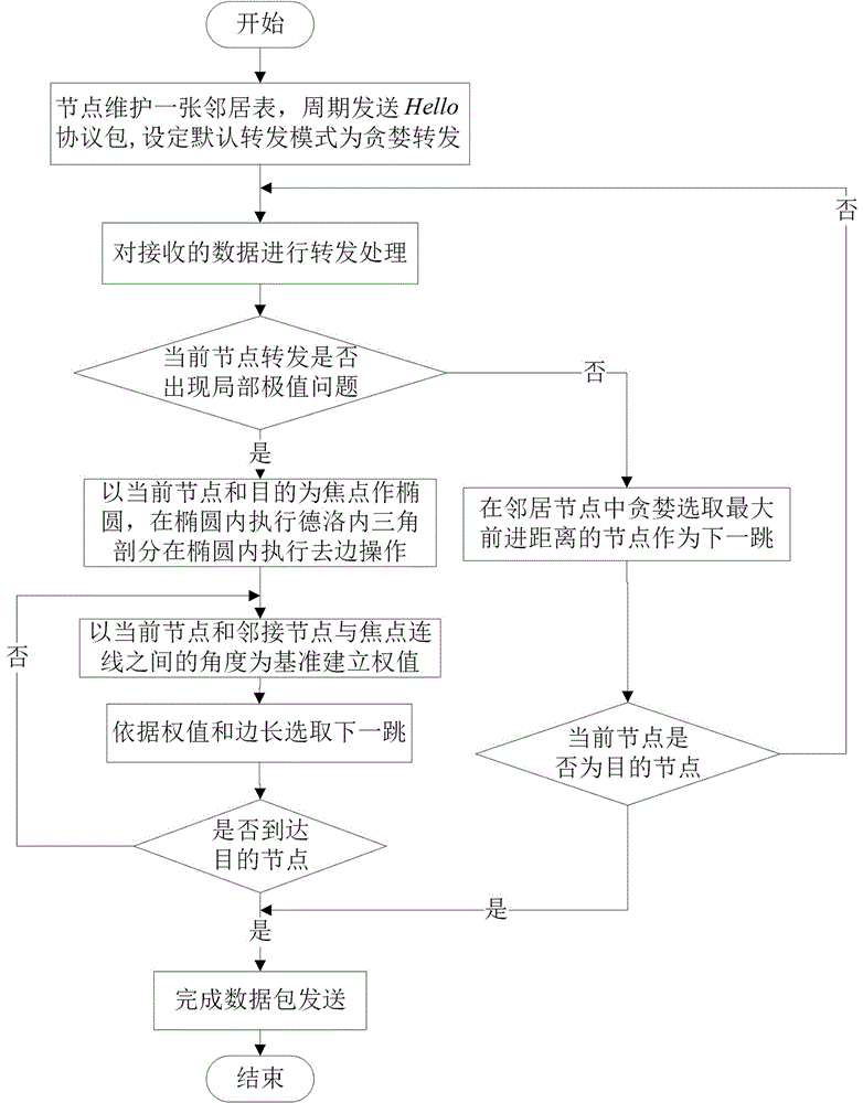
[0022] 1) Initial deployment: each node periodically sends to neighboring nodes The protocol package informs its own coordinate position, set , And accept the sent by neighbor nodes The protocol packet obtains the coordinate position of the neighbor node, and sets the default forwarding mode of the node to greedy forwarding;
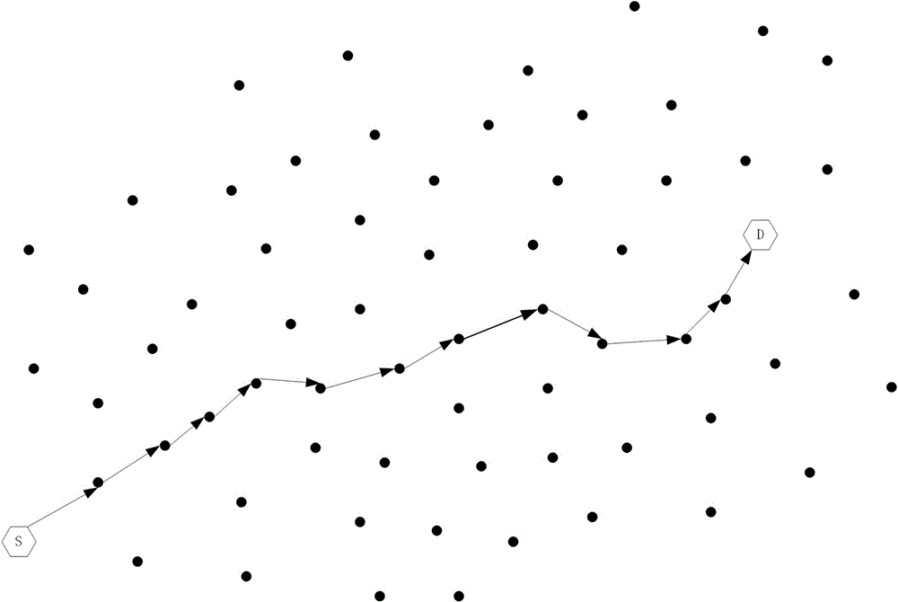
[0023] 2) In the greedy forwarding mode for data packet transmission, each node greedily selects energy to optimize the distance among neighbor nodes ( ) As the next hop, and the final forwarding path is a pseudo-straight line. figure 2 , The source node Generate a data packet and send it to the destination node D. If the nodes are all valid nodes, the resulting communication path is shown by the black arrow in the figure;
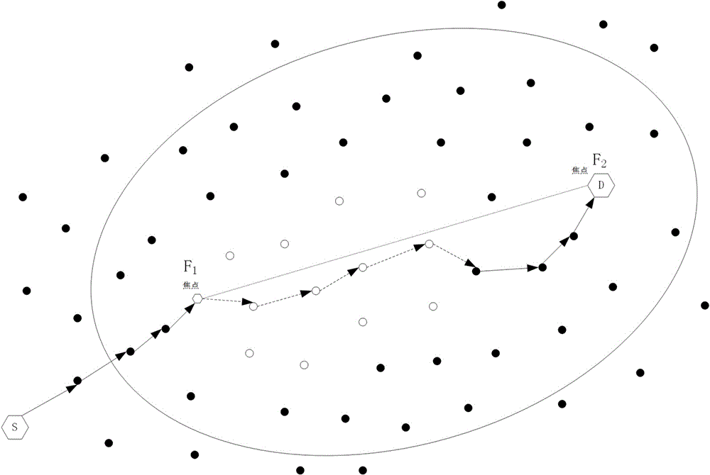
[0024] 3) Reference attachment image 3 When a node greedily forwards a data packet and fails, draw an ellipse with the failed node and the destination node of the data packet as the focus, set the eccentricity of the ellipse to plan...
PUM
 Abstract
Description
Claims
Application Information
 - R&D
- Intellectual Property
- Life Sciences
- Materials
- Tech Scout
- Unparalleled Data Quality
- Higher Quality Content
- 60% Fewer Hallucinations
Browse by: Latest US Patents, China's latest patents, Technical Efficacy Thesaurus, Application Domain, Technology Topic, Popular Technical Reports.
© 2025 PatSnap. All rights reserved.Legal|Privacy policy|Modern Slavery Act Transparency Statement|Sitemap|About US| Contact US: help@patsnap.com


