
A method for making visual stereoscopic geological map

A production method and geological map technology, applied in the field of geological information, can solve problems such as small scale, poor readability, and weak three-dimensional effect, and achieve clear display and convenient practical use

Active Publication Date: 2019-02-15
辽宁省地质勘查院有限责任公司
View PDF4 Cites 2 Cited by
  • Summary
  • Abstract
  • Description
  • Claims
  • Application Information

AI Technical Summary

Problems solved by technology

There are usually ordinary geological maps, tectonic maps, paleogeographic maps, etc.; traditional geological maps contain a large amount of spatial geographic information such as terrain, water systems, roads, etc., but since the geological information and these spatial geographic information are plotted on the same plane, they cannot Intuitively expressing the spatial relationship between geological information and geographic information is inconvenient for non-professionals to understand the map. Therefore, a three-dimensional geological map appears. The three-dimensional geological map is a manifestation of directly attaching geological information to the elevation grid data However, since no shadow effects are added, the three-dimensional effect is not strong, and the three-dimensional geological map cannot be output at the same scale, which will cause the scale of the place closer to the naked eye to be relatively large, and the scale of the place far away from the naked eye to be relatively small. It cannot intuitively reflect the size of ground objects and geological bodies, and the readability after printing is not strong, which will cause a lot of inconvenience in actual use

Method used


Image

  • A method for making visual stereoscopic geological map
  • A method for making visual stereoscopic geological map

Examples


Embodiment Construction

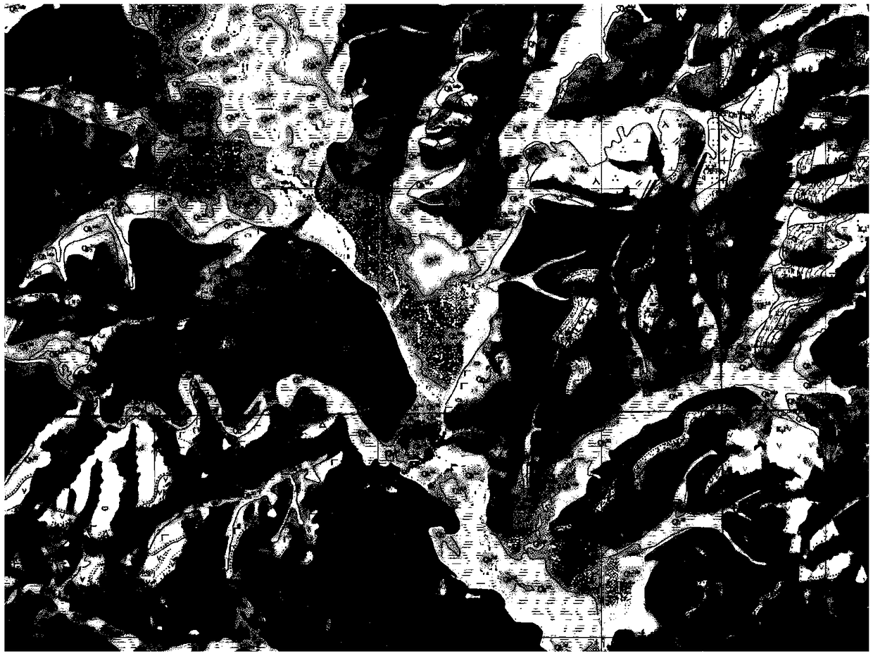
[0027] combined with Figure 1~2 , a method for making a three-dimensional geological map, the process of the method is as follows:

[0028] 1) Data preparation and analysis

[0029] 1.1. Comprehensive analysis

[0030] First, conduct a comprehensive analysis of the basic geological map to check whether the elements are complete, especially whether the topological relationship of the area elements is complete. The elements include geological area elements, geological line elements, geological code annotation elements, topographic lines, map names, scales, legends, Boxes, place names, roads, rivers, connection diagrams;

[0031] 1.2. Check terrain lines

[0032] Check whether the terrain line element has the elevation attribute, and if it does not have the elevation attribute, it is necessary to mount the elevation value according to the topographic map, and check whether there is an error in the terrain line element. When checking terrain line elements, it also includes ch...


PUM


Abstract

The invention discloses a method for making stereoscopic geological map, The methodology flows as follows: 1) data preparation and analysis, 1.1. Comprehensive analysis, 1.2. Check the terrain line, 2) DEM data preparation, 3) make that mountain shadow, 3.1, set simulated sunlight ray, 3.2, selecte a simulated solar ray angle, 3.3 Data debugging, 4) image fusion, 5) Modification of drawings, in accordance with that prior art, As that element such as the azimuth, the incidence angle and the height angle of the simulated sunlight ray are chan by using the simulated sunlight ray, and the simulated sunlight ray image is fuse with the basic geological map, the three-dimensional stereoscopic geological map generated by the simulated sunlight ray image has the stereoscopic visual effect, the terrain change and the geological characteristics can be clearly displayed, and the method is convenient for practical use.

Description

technical field [0001] The invention relates to the technical field of geological information, in particular to a method for making a three-dimensional geological map. Background technique [0002] A geological map is a map that shows the formation age of sedimentary rock layers, igneous rock bodies, geological structures, and related geological bodies and geological phenomena on a topographic map of a certain scale with certain legends. It is a general term for maps showing lithofacies, lithology, stratigraphic age, geological structure, magmatic activity, mineral distribution, etc. of the crustal surface. A thematic map showing the geological composition and structural characteristics of the mapped area. There are usually ordinary geological maps, tectonic maps, paleogeographic maps, etc.; traditional geological maps contain a large amount of spatial geographic information such as terrain, water systems, roads, etc., but since the geological information and these spatial ...

Claims


Application Information

Patent Timeline
Patent Type & Authority Applications(China)
IPC IPC(8): G06T15/50G06T15/60
CPCG06T15/506G06T15/60
Inventor 王烜王然王艺龙杨欢王粉丽刘杰王海鹏单学东
Owner 辽宁省地质勘查院有限责任公司
Learn More